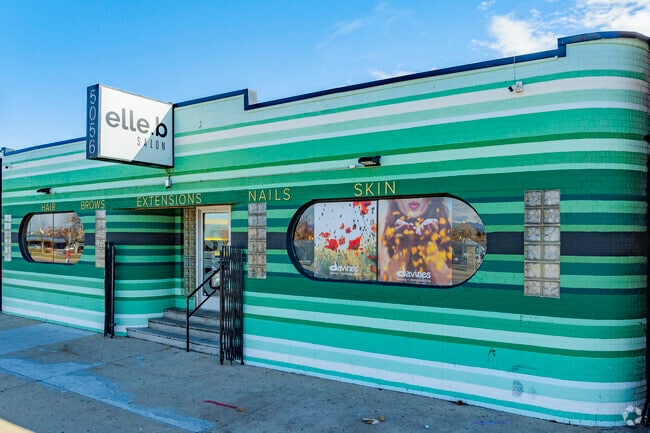
Property Record
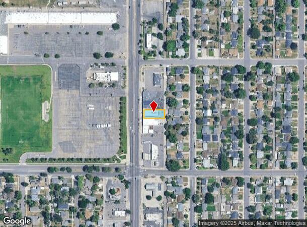
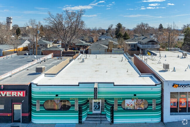
5056 Federal Blvd, Denver, CO 80221

NEARBY LISTINGS FOR SALE OR LEASE
Property Detail
5056 Federal Blvd
Denver-Aurora-Lakewood, CO
Friends Resub
2174-09-003
FRIENDS RESUB OF B17 EAST BERKELEY L6
Storebuilding
Denver
X
Colorado
08059C0220F
6
2024
0.14 AC
2024
Northwest
000201
Denver
3,744 SF
DEMOGRAPHICS near 5056 Federal Blvd
1 Mile
3 Mile
5 Mile
2024 Total Population
17,169
144,201
420,304
2029 Population
17,457
146,987
427,379
Pop Growth 2024-2029
+ 1.68%
+ 1.93%
+ 1.68%
Average Age
38
37
38
2024 Total Households
6,623
66,984
192,751
HH Growth 2024-2029
+ 1.46%
+ 1.88%
+ 1.68%
Median Household Inc
$91,126
$91,734
$76,626
Avg Household Size
2.40
2.10
2.10
2024 Avg HH Vehicles
2.00
2.00
2.00
Median Home Value
$545,704
$601,979
$493,643
Median Year Built
1952
1978
1971
Nearby Places
Map Layers
Map Styles
 Street
 Aerial
- Restaurants
- Banks
- Shops
- Fitness
- Groceries
PUBLIC TRANSPORTATION
COMMUTER RAIL
Clear Creek - Federal Station Track 1 (Union Station to Wheat Ridge Ward Station - Regional Transportation District)
DRIVE
WALK
Distance
Clear Creek - Federal Station Track 1 (Union Station to Wheat Ridge Ward Station - Regional Transportation District)
3 min
1.4 mi
Pecos Junction Station Track 1 (Union Station to Westminster Station - Regional Transportation District, Union Station to Wheat Ridge Ward Station - Regional Transportation District)
DRIVE
WALK
Distance
Pecos Junction Station Track 1 (Union Station to Westminster Station - Regional Transportation District, Union Station to Wheat Ridge Ward Station - Regional Transportation District)
4 min
2.2 mi
AIRPORT
Denver International
DRIVE
WALK
Distance
Denver International
31 min
24.5 mi
Freight Ports
Tulsa Port Of Catoosa
DRIVE
WALK
Distance
Tulsa Port Of Catoosa
728 min
710.0 mi
SALE & LEASE HISTORY
LISTING DATE
SALE/LEASE

Oct 07, 2024
For Sale
Jan 25, 2019
For Sale
Feb 21, 2024
For Lease
Nearby Properties
Address
Land Use
TOTAL SIZE
Lot Size
Zoning
Address
Land Use
TOTAL SIZE
Lot Size
Zoning
611,828 SF
0.94 AC
PUD
Address
Land Use
TOTAL SIZE
Lot Size
Zoning
150,202 SF
13.24 AC
T-MU-30
Address
Land Use
TOTAL SIZE
Lot Size
Zoning
298,387 SF
0.88 AC
PUD
Address
Land Use
TOTAL SIZE
Lot Size
Zoning
405,974 SF
1.78 AC
PUD
Address
Land Use
TOTAL SIZE
Lot Size
Zoning
290,821 SF
1.16 AC
PUD
Address
Land Use
TOTAL SIZE
Lot Size
Zoning
334,746 SF
1.25 AC
D-LD
Address
Land Use
TOTAL SIZE
Lot Size
Zoning
888,385 SF
20.40 AC
I-A
Address
Land Use
TOTAL SIZE
Lot Size
Zoning
860,132 SF
68.50 AC
R-5
Address
Land Use
TOTAL SIZE
Lot Size
Zoning
424,862 SF
32.28 AC
G-MU-3
Address
Land Use
TOTAL SIZE
Lot Size
Zoning
303,752 SF
1.26 AC
D-LD
Address
Land Use
TOTAL SIZE
Lot Size
Zoning
729,679 SF
C-MX
Address
Land Use
TOTAL SIZE
Lot Size
Zoning
225,749 SF
1.27 AC
D-LD
Address
Land Use
TOTAL SIZE
Lot Size
Zoning
218,176 SF
0.62 AC
T-MU-30
Address
Land Use
TOTAL SIZE
Lot Size
Zoning
265,054 SF
1.39 AC
C-MX-5
Address
Land Use
TOTAL SIZE
Lot Size
Zoning
203,148 SF
1.36 AC
C-MX-5
Address
Land Use
TOTAL SIZE
Lot Size
Zoning
222,000 SF
2.98 AC
PUD-G
Address
Land Use
TOTAL SIZE
Lot Size
Zoning
44.93 AC
CPV-C
Address
Land Use
TOTAL SIZE
Lot Size
Zoning
212,252 SF
0.93 AC
D-LD
Address
Land Use
TOTAL SIZE
Lot Size
Zoning
268,690 SF
1.23 AC
PUD
Address
Land Use
TOTAL SIZE
Lot Size
Zoning
25,000 SF
40.42 AC
I-A
Address
Land Use
TOTAL SIZE
Lot Size
Zoning
230,246 SF
0.79 AC
I-MX-8
Address
Land Use
TOTAL SIZE
Lot Size
Zoning
168,523 SF
44.89 AC
CPV-R
Address
Land Use
TOTAL SIZE
Lot Size
Zoning
216,857 SF
0.72 AC
D-LD
Address
Land Use
TOTAL SIZE
Lot Size
Zoning
921,863 SF
2.01 AC
C-MX
Address
Land Use
TOTAL SIZE
Lot Size
Zoning
178,845 SF
0.59 AC
PUD
Address
Land Use
TOTAL SIZE
Lot Size
Zoning
798,837 SF
1.67 AC
C-MX
Address
Land Use
TOTAL SIZE
Lot Size
Zoning
159,202 SF
1.03 AC
C-MX-5
Address
Land Use
TOTAL SIZE
Lot Size
Zoning
182,180 SF
1.93 AC
D-LD
Address
Land Use
TOTAL SIZE
Lot Size
Zoning
243,566 SF
1.15 AC
D-LD
Address
Land Use
TOTAL SIZE
Lot Size
Zoning
8,295 SF
2.57 AC
C-RX
The World's #1 Commercial Real Estate Marketplace
Connect with us
© 2025 CoStar Group
The information above has been obtained from sources believed reliable. While we do not doubt its accuracy we have not verified it and make no guarantee, warranty or representation about it. It is your responsibility to independently confirm its accuracy and completeness. Any projections, opinions, assumptions, or estimates used are for example only and do not represent the current or future performance of the property. The value of this transaction to you depends on tax and other factors which should be evaluated by your tax, financial, and legal advisors. You and your advisors should conduct a careful, independent investigation of the property to determine to your satisfaction the suitability of the property for your needs.