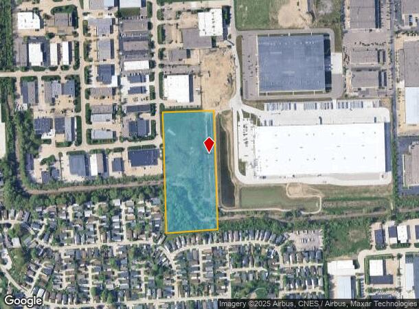
Property Record
23 Mile Rd, Utica, MI 48316
NEARBY LISTINGS FOR SALE OR LEASE
Property Detail
23 Mile Rd
23-07-24-201-035
PT SEC 13
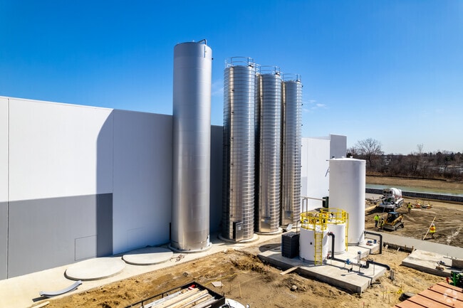
Industrialacreage
Macomb
X
Michigan
26099C0236G
10 AC
2024
Groesbeck North
2025
Detroit
225300
Detroit-Warren-Dearborn, MI
DEMOGRAPHICS near 23 Mile Rd
1 Mile
3 Mile
5 Mile
2024 Total Population
7,405
81,661
211,591
2029 Population
7,316
80,655
209,943
Pop Growth 2024-2029
(1.20%)
(1.23%)
(0.78%)
Average Age
44
43
42
2024 Total Households
2,961
29,963
81,933
HH Growth 2024-2029
(1.99%)
(1.48%)
(0.86%)
Median Household Inc
$89,596
$104,054
$94,167
Avg Household Size
2.50
2.70
2.50
2024 Avg HH Vehicles
2.00
2.00
2.00
Median Home Value
$291,171
$356,727
$332,658
Median Year Built
1991
1993
1991
Nearby Places
- Restaurants
- Banks
- Shops
- Fitness
- Groceries
PUBLIC TRANSPORTATION
AIRPORT
Windsor International
DRIVE
WALK
Distance
Windsor International
67 min
40.7 mi
Freight Ports
Port of Toledo
DRIVE
WALK
Distance
Port of Toledo
117 min
91.3 mi
SALE & LEASE HISTORY
LISTING DATE
SALE/LEASE

Sep 16, 2021
For Lease
Mar 31, 2021
For Sale
Mar 31, 2021
For Lease
Nearby Properties
Address
Land Use
TOTAL SIZE
Lot Size
Zoning
Address
Land Use
TOTAL SIZE
Lot Size
Zoning
20,560 SF
37.09 AC
R2
Address
Land Use
TOTAL SIZE
Lot Size
Zoning
447,434 SF
23.29 AC
LM
Address
Land Use
TOTAL SIZE
Lot Size
Zoning
371,520 SF
21.91 AC
CK MAP
Address
Land Use
TOTAL SIZE
Lot Size
Zoning
438,578 SF
36.60 AC
MXD
Address
Land Use
TOTAL SIZE
Lot Size
Zoning
89,559 SF
44.54 AC
O2
Address
Land Use
TOTAL SIZE
Lot Size
Zoning
190,996 SF
33.80 AC
LM
Address
Land Use
TOTAL SIZE
Lot Size
Zoning
118,343 SF
7.33 AC
R1
Address
Land Use
TOTAL SIZE
Lot Size
Zoning
10.29 AC
LM
Address
Land Use
TOTAL SIZE
Lot Size
Zoning
237,108 SF
10.30 AC
R-12
Address
Land Use
TOTAL SIZE
Lot Size
Zoning
181,725 SF
CK MAP
Address
Land Use
TOTAL SIZE
Lot Size
Zoning
90,185 SF
14.73 AC
C2
Address
Land Use
TOTAL SIZE
Lot Size
Zoning
224,323 SF
22.15 AC
C-3
Address
Land Use
TOTAL SIZE
Lot Size
Zoning
17.40 AC
CK MAP
Address
Land Use
TOTAL SIZE
Lot Size
Zoning
73.49 AC
CK MAP
Address
Land Use
TOTAL SIZE
Lot Size
Zoning
50,577 SF
21.43 AC
C-2
Address
Land Use
TOTAL SIZE
Lot Size
Zoning
176,212 SF
16.46 AC
MXD
Address
Land Use
TOTAL SIZE
Lot Size
Zoning
79,942 SF
4.65 AC
M1
Address
Land Use
TOTAL SIZE
Lot Size
Zoning
120,658 SF
13.97 AC
C-3
Address
Land Use
TOTAL SIZE
Lot Size
Zoning
8.81 AC
C-6
Address
Land Use
TOTAL SIZE
Lot Size
Zoning
233,584 SF
26.03 AC
C-3
Address
Land Use
TOTAL SIZE
Lot Size
Zoning
171,634 SF
3.90 AC
RM-2
Address
Land Use
TOTAL SIZE
Lot Size
Zoning
94,332 SF
3.47 AC
B-3
Address
Land Use
TOTAL SIZE
Lot Size
Zoning
118,581 SF
15.17 AC
R-5
Address
Land Use
TOTAL SIZE
Lot Size
Zoning
133,173 SF
8 AC
O-3
Address
Land Use
TOTAL SIZE
Lot Size
Zoning
128,086 SF
4.20 AC
C-2
Address
Land Use
TOTAL SIZE
Lot Size
Zoning
56,470 SF
8.09 AC
MXD
Address
Land Use
TOTAL SIZE
Lot Size
Zoning
21,992 SF
16.24 AC
R-3
Address
Land Use
TOTAL SIZE
Lot Size
Zoning
121,156 SF
9.40 AC
CK MAP
Address
Land Use
TOTAL SIZE
Lot Size
Zoning
293,800 SF
M1
Address
Land Use
TOTAL SIZE
Lot Size
Zoning
15.61 AC
CK MAP
The World's #1 Commercial Real Estate Marketplace
Connect with us
© 2025 CoStar Group
The information above has been obtained from sources believed reliable. While we do not doubt its accuracy we have not verified it and make no guarantee, warranty or representation about it. It is your responsibility to independently confirm its accuracy and completeness. Any projections, opinions, assumptions, or estimates used are for example only and do not represent the current or future performance of the property. The value of this transaction to you depends on tax and other factors which should be evaluated by your tax, financial, and legal advisors. You and your advisors should conduct a careful, independent investigation of the property to determine to your satisfaction the suitability of the property for your needs.