Property Record
506 E Rutland St, Covington, LA 70433


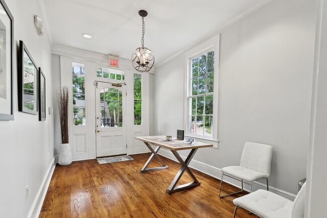
Property Detail
506 E Rutland St
Slidell-Mandeville-Covington, LA
LOT 14A SQ 5 DIVISION OF ST JOHN CB 612 206 CB 919 79 INST NO 1001137 INST NO 1106274 INST NO 1096057 INST NO 1567673 INST NO
23191
ST TAMMANY
Commercialnec
Louisiana
2025
14a
2025
0.15 AC
040602
Mandeville/Covington
3,406 SF
New Orleans/Metairie/Kenner
NEARBY LISTINGS FOR SALE OR LEASE
DEMOGRAPHICS near 506 E Rutland St
1 mile
3 mile
5 mile
2025 Total Population
4,744
35,977
67,433
2030 Population
4,944
37,306
69,916
Pop Growth 2025-2030
+ 4.22%
+ 3.69%
+ 3.68%
Average Age
42
41
42
2025 Total Households
2,016
14,601
26,833
HH Growth 2025-2030
+ 4.27%
+ 3.68%
+ 3.71%
Median Household Inc
$65,700
$74,279
$79,119
Avg Household Size
2.30
2.40
2.40
2025 Avg HH Vehicles
2.00
2.00
2.00
Median Home Value
$400,541
$304,946
$327,587
Median Year Built
1984
1997
1998
Nearby Places
Map Layers
Map Styles
 Street
 Aerial
Layers
 Traffic
 Biking
Places
Listings with unknown addresses are not visible on the map
- Restaurants
- Banks
- Shops
- Fitness
- Groceries
PUBLIC TRANSPORTATION
AIRPORT
Louis Armstrong New Orleans International
Drive
Walk
Distance
Louis Armstrong New Orleans International
57 min
42.0 mi
Nearby Properties
Address
Land Use
TOTAL SIZE
Lot Size
Zoning
Address
Land Use
TOTAL SIZE
Lot Size
Zoning
515,547 SF
20.54 AC
Address
Land Use
TOTAL SIZE
Lot Size
Zoning
200,000 SF
0.28 AC
Address
Land Use
TOTAL SIZE
Lot Size
Zoning
Address
Land Use
TOTAL SIZE
Lot Size
Zoning
0.92 AC
Address
Land Use
TOTAL SIZE
Lot Size
Zoning
11.91 AC
Address
Land Use
TOTAL SIZE
Lot Size
Zoning
Address
Land Use
TOTAL SIZE
Lot Size
Zoning
246,559 SF
42.43 AC
Address
Land Use
TOTAL SIZE
Lot Size
Zoning
86,167 SF
0.71 AC
Address
Land Use
TOTAL SIZE
Lot Size
Zoning
99,157 SF
12 AC
Address
Land Use
TOTAL SIZE
Lot Size
Zoning
201,095 SF
Address
Land Use
TOTAL SIZE
Lot Size
Zoning
68,478 SF
6.64 AC
Address
Land Use
TOTAL SIZE
Lot Size
Zoning
171,138 SF
13.02 AC
Address
Land Use
TOTAL SIZE
Lot Size
Zoning
66,500 SF
4.35 AC
Address
Land Use
TOTAL SIZE
Lot Size
Zoning
102,470 SF
10.50 AC
Address
Land Use
TOTAL SIZE
Lot Size
Zoning
205,612 SF
23.60 AC
Address
Land Use
TOTAL SIZE
Lot Size
Zoning
147,611 SF
22 AC
Address
Land Use
TOTAL SIZE
Lot Size
Zoning
38,976 SF
6.80 AC
Address
Land Use
TOTAL SIZE
Lot Size
Zoning
92,535 SF
2.80 AC
Address
Land Use
TOTAL SIZE
Lot Size
Zoning
Address
Land Use
TOTAL SIZE
Lot Size
Zoning
62,800 SF
15 AC
Address
Land Use
TOTAL SIZE
Lot Size
Zoning
114,823 SF
4.57 AC
Address
Land Use
TOTAL SIZE
Lot Size
Zoning
124,002 SF
20.55 AC
Address
Land Use
TOTAL SIZE
Lot Size
Zoning
86,688 SF
3.75 AC
Address
Land Use
TOTAL SIZE
Lot Size
Zoning
50,819 SF
18.82 AC
Address
Land Use
TOTAL SIZE
Lot Size
Zoning
106,915 SF
20 AC
Address
Land Use
TOTAL SIZE
Lot Size
Zoning
114,727 SF
4.46 AC
Address
Land Use
TOTAL SIZE
Lot Size
Zoning
Address
Land Use
TOTAL SIZE
Lot Size
Zoning
101,007 SF
6 AC
Address
Land Use
TOTAL SIZE
Lot Size
Zoning
126 SF
2.55 AC
Address
Land Use
TOTAL SIZE
Lot Size
Zoning
70,689 SF
2.90 AC
The World's #1 Commercial Real Estate Marketplace
Connect with us
© 2026 CoStar Group
The information above has been obtained from sources believed reliable. While we do not doubt its accuracy we have not verified it and make no guarantee, warranty or representation about it. It is your responsibility to independently confirm its accuracy and completeness. Any projections, opinions, assumptions, or estimates used are for example only and do not represent the current or future performance of the property. The value of this transaction to you depends on tax and other factors which should be evaluated by your tax, financial, and legal advisors. You and your advisors should conduct a careful, independent investigation of the property to determine to your satisfaction the suitability of the property for your needs.