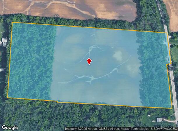
Property Record
5080 Mink St Sw, Pataskala, OH 43062

NEARBY LISTINGS FOR SALE OR LEASE
Property Detail
5080 Mink St Sw
Columbus, OH
Nw Quarter
063-141648-00.000
30.841 AC SEC 13 & 14 R15 T1 Q2
Agriculturalland
Licking
A
Ohio
39089C0288J
30.84 AC
2024
Licking County
2024
Columbus
755901
DEMOGRAPHICS near 5080 Mink St Sw
1 Mile
3 Mile
5 Mile
2024 Total Population
703
16,930
71,575
2029 Population
744
17,579
73,474
Pop Growth 2024-2029
+ 5.83%
+ 3.83%
+ 2.65%
Average Age
42
38
38
2024 Total Households
276
5,884
25,504
HH Growth 2024-2029
+ 5.80%
+ 4.03%
+ 2.67%
Median Household Inc
$75,781
$99,254
$92,473
Avg Household Size
2.60
2.80
2.80
2024 Avg HH Vehicles
2.00
2.00
2.00
Median Home Value
$254,838
$248,224
$255,992
Median Year Built
1976
2000
1999
Nearby Places
Map Layers
Map Styles
 Street
 Aerial
- Restaurants
- Banks
- Shops
- Fitness
- Groceries
PUBLIC TRANSPORTATION
AIRPORT
John Glenn Columbus International
DRIVE
WALK
Distance
John Glenn Columbus International
22 min
11.4 mi
Rickenbacker International
DRIVE
WALK
Distance
Rickenbacker International
32 min
22.1 mi
Freight Ports
Port of Toledo
DRIVE
WALK
Distance
Port of Toledo
192 min
153.0 mi
SALE & LEASE HISTORY
LISTING DATE
SALE/LEASE

Jun 27, 2022
For Sale
Nearby Properties
Address
Land Use
TOTAL SIZE
Lot Size
Zoning
Address
Land Use
TOTAL SIZE
Lot Size
Zoning
141,988 SF
219.25 AC
Address
Land Use
TOTAL SIZE
Lot Size
Zoning
2,556 SF
93.78 AC
Address
Land Use
TOTAL SIZE
Lot Size
Zoning
1,091,997 SF
49.37 AC
Address
Land Use
TOTAL SIZE
Lot Size
Zoning
154.52 AC
Address
Land Use
TOTAL SIZE
Lot Size
Zoning
151,476 SF
83.45 AC
Address
Land Use
TOTAL SIZE
Lot Size
Zoning
47.69 AC
Address
Land Use
TOTAL SIZE
Lot Size
Zoning
51,968 SF
22.80 AC
Address
Land Use
TOTAL SIZE
Lot Size
Zoning
1,809 SF
134.92 AC
Address
Land Use
TOTAL SIZE
Lot Size
Zoning
95,576 SF
16 AC
Address
Land Use
TOTAL SIZE
Lot Size
Zoning
83,892 SF
15.80 AC
Address
Land Use
TOTAL SIZE
Lot Size
Zoning
105,628 SF
17.72 AC
Address
Land Use
TOTAL SIZE
Lot Size
Zoning
49,325 SF
27.75 AC
Address
Land Use
TOTAL SIZE
Lot Size
Zoning
14,592 SF
15.33 AC
Address
Land Use
TOTAL SIZE
Lot Size
Zoning
10,419 SF
12.37 AC
Address
Land Use
TOTAL SIZE
Lot Size
Zoning
1,862 SF
105.97 AC
Address
Land Use
TOTAL SIZE
Lot Size
Zoning
38,787 SF
22.61 AC
Address
Land Use
TOTAL SIZE
Lot Size
Zoning
2,400 SF
15.21 AC
Address
Land Use
TOTAL SIZE
Lot Size
Zoning
51,200 SF
27.71 AC
Address
Land Use
TOTAL SIZE
Lot Size
Zoning
89.41 AC
Address
Land Use
TOTAL SIZE
Lot Size
Zoning
1,058 SF
58.11 AC
Address
Land Use
TOTAL SIZE
Lot Size
Zoning
100 AC
Address
Land Use
TOTAL SIZE
Lot Size
Zoning
18.36 AC
Address
Land Use
TOTAL SIZE
Lot Size
Zoning
56.62 AC
Address
Land Use
TOTAL SIZE
Lot Size
Zoning
2,142 SF
85.38 AC
Address
Land Use
TOTAL SIZE
Lot Size
Zoning
65.89 AC
Address
Land Use
TOTAL SIZE
Lot Size
Zoning
83.11 AC
Address
Land Use
TOTAL SIZE
Lot Size
Zoning
38.38 AC
Address
Land Use
TOTAL SIZE
Lot Size
Zoning
2,434 SF
98.53 AC
Address
Land Use
TOTAL SIZE
Lot Size
Zoning
16,645 SF
1.04 AC
Address
Land Use
TOTAL SIZE
Lot Size
Zoning
48.62 AC
The World's #1 Commercial Real Estate Marketplace
Connect with us
© 2025 CoStar Group
The information above has been obtained from sources believed reliable. While we do not doubt its accuracy we have not verified it and make no guarantee, warranty or representation about it. It is your responsibility to independently confirm its accuracy and completeness. Any projections, opinions, assumptions, or estimates used are for example only and do not represent the current or future performance of the property. The value of this transaction to you depends on tax and other factors which should be evaluated by your tax, financial, and legal advisors. You and your advisors should conduct a careful, independent investigation of the property to determine to your satisfaction the suitability of the property for your needs.