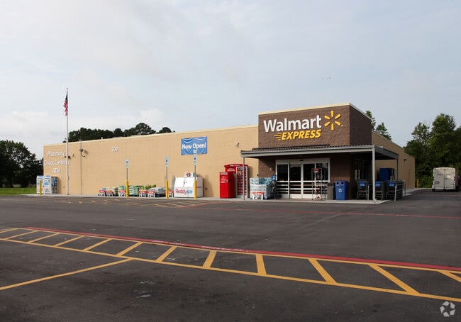
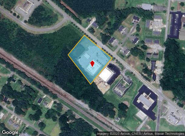
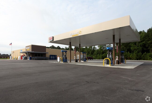
Property Record
509 Doctor Donnie H Jones Jr Blvd W, Princeton, NC 27569
NEARBY LISTINGS FOR SALE OR LEASE
Property Detail
509 Doctor Donnie H Jones Jr Blvd W
Raleigh, NC
Princeton Commons
04P10097D
LOT 3A PRINCETON COMMONS SEC 1 78/65
Storebuilding
Johnston
X
North Carolina
3720264200K
3a
2025
2.73 AC
2025
Johnston County
040501
Raleigh/Durham
11,918 SF
DEMOGRAPHICS near 509 Doctor Donnie H Jones Jr Blvd W
1 Mile
3 Mile
5 Mile
2024 Total Population
1,729
5,069
13,993
2029 Population
2,079
6,045
16,318
Pop Growth 2024-2029
+ 20.24%
+ 19.25%
+ 16.62%
Average Age
40
40
39
2024 Total Households
664
1,896
5,289
HH Growth 2024-2029
+ 20.48%
+ 19.36%
+ 16.64%
Median Household Inc
$47,000
$63,710
$68,819
Avg Household Size
2.60
2.70
2.60
2024 Avg HH Vehicles
2.00
2.00
2.00
Median Home Value
$291,025
$190,048
$169,258
Median Year Built
1981
1990
1991
Nearby Places
- Restaurants
- Banks
- Shops
- Fitness
- Groceries
PUBLIC TRANSPORTATION
COMMUTER RAIL
Selma (Carolinian - Amtrak, Palmetto - Amtrak)
DRIVE
WALK
Distance
Selma (Carolinian - Amtrak, Palmetto - Amtrak)
13 min
8.1 mi
Freight Ports
Port of Wilmington
DRIVE
WALK
Distance
Port of Wilmington
133 min
108.6 mi
SALE & LEASE HISTORY
LISTING DATE
SALE/LEASE

Nov 22, 2023
For Sale
Nearby Properties
Address
Land Use
TOTAL SIZE
Lot Size
Zoning
Address
Land Use
TOTAL SIZE
Lot Size
Zoning
30,242 SF
13.12 AC
COW
Address
Land Use
TOTAL SIZE
Lot Size
Zoning
17,000 SF
33.85 AC
RAG
Address
Land Use
TOTAL SIZE
Lot Size
Zoning
27,156 SF
9.81 AC
COW
Address
Land Use
TOTAL SIZE
Lot Size
Zoning
19,854 SF
7.86 AC
COM
Address
Land Use
TOTAL SIZE
Lot Size
Zoning
3,840 SF
3.05 AC
REW
Address
Land Use
TOTAL SIZE
Lot Size
Zoning
19,778 SF
0.77 AC
REW
Address
Land Use
TOTAL SIZE
Lot Size
Zoning
3,811 SF
1.90 AC
COW
Address
Land Use
TOTAL SIZE
Lot Size
Zoning
28,778 SF
3.51 AC
COW
Address
Land Use
TOTAL SIZE
Lot Size
Zoning
286.62 AC
IND
Address
Land Use
TOTAL SIZE
Lot Size
Zoning
13,080 SF
4.40 AC
REW
Address
Land Use
TOTAL SIZE
Lot Size
Zoning
3,750 SF
3.69 AC
COW
Address
Land Use
TOTAL SIZE
Lot Size
Zoning
276.05 AC
RAG
Address
Land Use
TOTAL SIZE
Lot Size
Zoning
32,374 SF
26.45 AC
COW
Address
Land Use
TOTAL SIZE
Lot Size
Zoning
14,848 SF
3.17 AC
RAG
Address
Land Use
TOTAL SIZE
Lot Size
Zoning
21,860 SF
5.31 AC
COW
Address
Land Use
TOTAL SIZE
Lot Size
Zoning
4,802 SF
8.34 AC
COW
Address
Land Use
TOTAL SIZE
Lot Size
Zoning
4,000 SF
3.54 AC
COW
Address
Land Use
TOTAL SIZE
Lot Size
Zoning
3,065 SF
2.24 AC
RES
Address
Land Use
TOTAL SIZE
Lot Size
Zoning
10,576 SF
1.65 AC
COW
Address
Land Use
TOTAL SIZE
Lot Size
Zoning
129 AC
IND
Address
Land Use
TOTAL SIZE
Lot Size
Zoning
8,745 SF
6.37 AC
COW
Address
Land Use
TOTAL SIZE
Lot Size
Zoning
240 AC
RAG
Address
Land Use
TOTAL SIZE
Lot Size
Zoning
7,050 SF
6.01 AC
COM
Address
Land Use
TOTAL SIZE
Lot Size
Zoning
8,730 SF
1.51 AC
REW
Address
Land Use
TOTAL SIZE
Lot Size
Zoning
9,104 SF
108.21 AC
RAG
Address
Land Use
TOTAL SIZE
Lot Size
Zoning
2,501 SF
1.36 AC
COW
Address
Land Use
TOTAL SIZE
Lot Size
Zoning
4,131 SF
0.75 AC
COW
Address
Land Use
TOTAL SIZE
Lot Size
Zoning
11,000 SF
2.69 AC
COW
Address
Land Use
TOTAL SIZE
Lot Size
Zoning
2,601 SF
1.38 AC
RES
The World's #1 Commercial Real Estate Marketplace
Connect with us
© 2025 CoStar Group
The information above has been obtained from sources believed reliable. While we do not doubt its accuracy we have not verified it and make no guarantee, warranty or representation about it. It is your responsibility to independently confirm its accuracy and completeness. Any projections, opinions, assumptions, or estimates used are for example only and do not represent the current or future performance of the property. The value of this transaction to you depends on tax and other factors which should be evaluated by your tax, financial, and legal advisors. You and your advisors should conduct a careful, independent investigation of the property to determine to your satisfaction the suitability of the property for your needs.