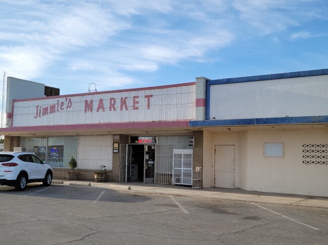
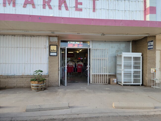
Property Record
509 Railroad Ave, Winterhaven, CA 92283


Property Detail
509 Railroad Ave
El Centro, CA
LOTS 7 8 9 & 10 BLK 9 TOWNSITE OF WINTERHAVEN
056-283-006-000
IMPERIAL
Storebuilding
California
C and X Area of minimal flood hazard, usually depicted on FIRMs as above the 500-year flood level.
7
2024
0.35 AC
2025
Yuma & El Centro
940000
Other Market Areas
4,320 SF
NEARBY LISTINGS FOR SALE OR LEASE
DEMOGRAPHICS near 509 Railroad Ave
1 mile
3 mile
5 mile
2025 Total Population
2,291
36,039
88,434
2030 Population
2,427
38,738
94,668
Pop Growth 2025-2030
+ 5.94%
+ 7.49%
+ 7.05%
Average Age
37
38
37
2025 Total Households
780
13,009
31,455
HH Growth 2025-2030
+ 5.90%
+ 8.37%
+ 8.06%
Median Household Inc
$35,123
$47,789
$57,706
Avg Household Size
2.80
2.60
2.70
2025 Avg HH Vehicles
1.00
2.00
2.00
Median Home Value
$156,249
$176,231
$226,096
Median Year Built
1979
1981
1984
Nearby Places
Map Layers
Map Styles
 Street
 Aerial
Layers
 Traffic
 Biking
Places
Listings with unknown addresses are not visible on the map
- Restaurants
- Banks
- Shops
- Fitness
- Groceries
PUBLIC TRANSPORTATION
COMMUTER RAIL
Drive
Walk
Distance
5 min
1.9 mi
AIRPORT
Yuma International
Drive
Walk
Distance
Yuma International
14 min
6.6 mi
SALE & LEASE HISTORY
LISTING DATE
SALE/LEASE

Apr 18, 2022
For Sale
Nearby Properties
Address
Land Use
TOTAL SIZE
Lot Size
Zoning
Address
Land Use
TOTAL SIZE
Lot Size
Zoning
159,906 SF
3.19 AC
OT
Address
Land Use
TOTAL SIZE
Lot Size
Zoning
112,343 SF
3.13 AC
OT
Address
Land Use
TOTAL SIZE
Lot Size
Zoning
406,808 SF
28.05 AC
R-3
Address
Land Use
TOTAL SIZE
Lot Size
Zoning
107,310 SF
4.37 AC
OT
Address
Land Use
TOTAL SIZE
Lot Size
Zoning
42,529 SF
1.29 AC
OT
Address
Land Use
TOTAL SIZE
Lot Size
Zoning
62,393 SF
2.83 AC
OT
Address
Land Use
TOTAL SIZE
Lot Size
Zoning
95,263 SF
5.46 AC
B-2
Address
Land Use
TOTAL SIZE
Lot Size
Zoning
141,161 SF
11.18 AC
B-2
Address
Land Use
TOTAL SIZE
Lot Size
Zoning
157,234 SF
5.71 AC
R-1-6
Address
Land Use
TOTAL SIZE
Lot Size
Zoning
66,490 SF
2.85 AC
Address
Land Use
TOTAL SIZE
Lot Size
Zoning
Address
Land Use
TOTAL SIZE
Lot Size
Zoning
48,251 SF
5.26 AC
B-2
Address
Land Use
TOTAL SIZE
Lot Size
Zoning
302,392 SF
16.80 AC
R-3
Address
Land Use
TOTAL SIZE
Lot Size
Zoning
90,280 SF
2.98 AC
B-2
Address
Land Use
TOTAL SIZE
Lot Size
Zoning
18.80 AC
Address
Land Use
TOTAL SIZE
Lot Size
Zoning
Address
Land Use
TOTAL SIZE
Lot Size
Zoning
89,787 SF
35.18 AC
AG
Address
Land Use
TOTAL SIZE
Lot Size
Zoning
435,719 SF
18.76 AC
LI
Address
Land Use
TOTAL SIZE
Lot Size
Zoning
55,103 SF
4.55 AC
B-2
Address
Land Use
TOTAL SIZE
Lot Size
Zoning
59,734 SF
8.32 AC
LI
Address
Land Use
TOTAL SIZE
Lot Size
Zoning
105,806 SF
10.25 AC
B-2
Address
Land Use
TOTAL SIZE
Lot Size
Zoning
88,651 SF
4.67 AC
R-1-6
Address
Land Use
TOTAL SIZE
Lot Size
Zoning
80,262 SF
0.64 AC
OT
Address
Land Use
TOTAL SIZE
Lot Size
Zoning
36.59 AC
Address
Land Use
TOTAL SIZE
Lot Size
Zoning
4,211 SF
50.50 AC
B-2
Address
Land Use
TOTAL SIZE
Lot Size
Zoning
435,719 SF
27.69 AC
LI
Address
Land Use
TOTAL SIZE
Lot Size
Zoning
100,644 SF
4.61 AC
R-1-6
Address
Land Use
TOTAL SIZE
Lot Size
Zoning
15,115 SF
0.64 AC
OT
Address
Land Use
TOTAL SIZE
Lot Size
Zoning
47,447 SF
3.58 AC
B-2
The World's #1 Commercial Real Estate Marketplace
Connect with us
© 2026 CoStar Group
The information above has been obtained from sources believed reliable. While we do not doubt its accuracy we have not verified it and make no guarantee, warranty or representation about it. It is your responsibility to independently confirm its accuracy and completeness. Any projections, opinions, assumptions, or estimates used are for example only and do not represent the current or future performance of the property. The value of this transaction to you depends on tax and other factors which should be evaluated by your tax, financial, and legal advisors. You and your advisors should conduct a careful, independent investigation of the property to determine to your satisfaction the suitability of the property for your needs.