Property Record
510 S Miller Rd, Willard, MO 65781


NEARBY LISTINGS FOR SALE OR LEASE
-
-
View all Willard listings for sale on LoopNet.com
Property Detail
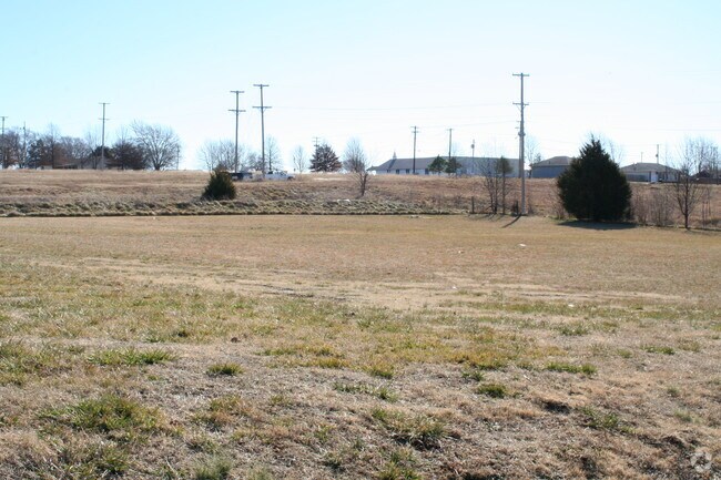
510 S Miller Rd
07-25-301-028
Willard Original Plat
Religious
WILLARD IRR .97A M/L BEG 238 FT N & 20 FT E SW COR NW 1/4 SW1/4 25/30/23 E 210 FTN 400 FT W 210 FT S 400 FT TO BEG (EX S 200.02 FT)
X
Greene
29077C0191E
Missouri
0
0.97 AC
2025
Outlying Greene County
005002
Springfield
5,208 SF
Springfield, MO
DEMOGRAPHICS near 510 S Miller Rd
1 Mile
3 Mile
5 Mile
2024 Total Population
3,502
7,726
12,140
2029 Population
3,597
7,900
12,438
Pop Growth 2024-2029
+ 2.71%
+ 2.25%
+ 2.45%
Average Age
37
38
39
2024 Total Households
1,276
2,870
4,551
HH Growth 2024-2029
+ 2.98%
+ 2.44%
+ 2.64%
Median Household Inc
$85,978
$79,129
$78,287
Avg Household Size
2.70
2.70
2.60
2024 Avg HH Vehicles
2.00
2.00
2.00
Median Home Value
$176,166
$201,656
$220,401
Median Year Built
1981
1987
1985
Nearby Places
Map Layers
Map Styles
 Street
 Aerial
- Restaurants
- Banks
- Shops
- Fitness
- Groceries
PUBLIC TRANSPORTATION
AIRPORT
Springfield-Branson Ntl
DRIVE
WALK
Distance
Springfield-Branson Ntl
10 min
4.9 mi
Freight Ports
Tulsa Port of Inola
DRIVE
WALK
Distance
Tulsa Port of Inola
192 min
171.2 mi
SALE & LEASE HISTORY
LISTING DATE
SALE/LEASE

Jul 25, 2017
For Sale
Jan 31, 2017
For Sale
Feb 08, 2018
For Sale
Nearby Properties
Address
Land Use
TOTAL SIZE
Lot Size
Zoning
Address
Land Use
TOTAL SIZE
Lot Size
Zoning
10.70 AC
INC
Address
Land Use
TOTAL SIZE
Lot Size
Zoning
7 AC
INC
Address
Land Use
TOTAL SIZE
Lot Size
Zoning
29,400 SF
9.80 AC
PAD
Address
Land Use
TOTAL SIZE
Lot Size
Zoning
5.71 AC
INC
Address
Land Use
TOTAL SIZE
Lot Size
Zoning
49,860 SF
5.34 AC
INC
Address
Land Use
TOTAL SIZE
Lot Size
Zoning
2,733 SF
4.49 AC
INC
Address
Land Use
TOTAL SIZE
Lot Size
Zoning
11,727 SF
129.68 AC
INC
Address
Land Use
TOTAL SIZE
Lot Size
Zoning
2.05 AC
INC.
Address
Land Use
TOTAL SIZE
Lot Size
Zoning
25,046 SF
6.37 AC
INC
Address
Land Use
TOTAL SIZE
Lot Size
Zoning
2 AC
INC
Address
Land Use
TOTAL SIZE
Lot Size
Zoning
24,695 SF
3.36 AC
INC
Address
Land Use
TOTAL SIZE
Lot Size
Zoning
1.62 AC
INC
Address
Land Use
TOTAL SIZE
Lot Size
Zoning
1.19 AC
INC
Address
Land Use
TOTAL SIZE
Lot Size
Zoning
1,335 SF
1.07 AC
INC
Address
Land Use
TOTAL SIZE
Lot Size
Zoning
Address
Land Use
TOTAL SIZE
Lot Size
Zoning
5,090 SF
1.35 AC
INC
Address
Land Use
TOTAL SIZE
Lot Size
Zoning
1,120 SF
135.30 AC
INC
Address
Land Use
TOTAL SIZE
Lot Size
Zoning
Address
Land Use
TOTAL SIZE
Lot Size
Zoning
0.77 AC
INC
Address
Land Use
TOTAL SIZE
Lot Size
Zoning
4,076 SF
1.05 AC
INC
Address
Land Use
TOTAL SIZE
Lot Size
Zoning
3.04 AC
INC
Address
Land Use
TOTAL SIZE
Lot Size
Zoning
7,500 SF
2.16 AC
INC
Address
Land Use
TOTAL SIZE
Lot Size
Zoning
1,960 SF
0.69 AC
INC
Address
Land Use
TOTAL SIZE
Lot Size
Zoning
1.05 AC
Address
Land Use
TOTAL SIZE
Lot Size
Zoning
2,888 SF
4.40 AC
INC
Address
Land Use
TOTAL SIZE
Lot Size
Zoning
0.80 AC
INC
Address
Land Use
TOTAL SIZE
Lot Size
Zoning
6,726 SF
0.98 AC
INC
Address
Land Use
TOTAL SIZE
Lot Size
Zoning
7,920 SF
133 AC
A-1
Address
Land Use
TOTAL SIZE
Lot Size
Zoning
9,200 SF
0.59 AC
INC
Address
Land Use
TOTAL SIZE
Lot Size
Zoning
1.04 AC
INC
The World's #1 Commercial Real Estate Marketplace
Connect with us
© 2025 CoStar Group
The information above has been obtained from sources believed reliable. While we do not doubt its accuracy we have not verified it and make no guarantee, warranty or representation about it. It is your responsibility to independently confirm its accuracy and completeness. Any projections, opinions, assumptions, or estimates used are for example only and do not represent the current or future performance of the property. The value of this transaction to you depends on tax and other factors which should be evaluated by your tax, financial, and legal advisors. You and your advisors should conduct a careful, independent investigation of the property to determine to your satisfaction the suitability of the property for your needs.