Property Record
5102 Davis Dr, Taylor Mill, KY 41015


NEARBY LISTINGS FOR SALE OR LEASE
Property Detail
5102 Davis Dr
057-20-00-124.05
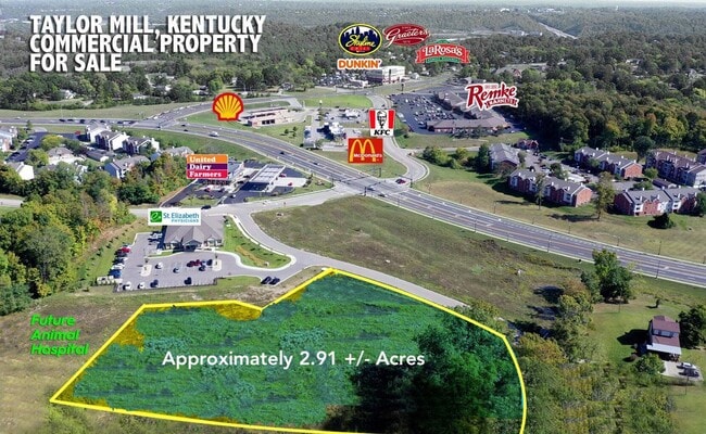
1.782 ACS WS OLD TAYLOR MILL RD KNOWN AS HWY DEPT PARCEL 431 TRACT X
Vacantlandnec
Kenton
X
Kentucky
21037C0025E
1.78 AC
2025
Outlying N Kentucky
2025
Cincinnati/Dayton
065300
Cincinnati, OH-KY-IN
DEMOGRAPHICS near 5102 Davis Dr
1 Mile
3 Mile
5 Mile
2024 Total Population
4,630
38,818
151,085
2029 Population
4,801
39,547
154,144
Pop Growth 2024-2029
+ 3.69%
+ 1.88%
+ 2.02%
Average Age
40
40
39
2024 Total Households
1,938
15,835
62,040
HH Growth 2024-2029
+ 3.61%
+ 1.84%
+ 2.02%
Median Household Inc
$69,065
$67,908
$68,245
Avg Household Size
2.40
2.30
2.30
2024 Avg HH Vehicles
2.00
2.00
2.00
Median Home Value
$233,879
$214,127
$219,750
Median Year Built
1990
1975
1972
Nearby Places
Map Layers
Map Styles
 Street
 Aerial
- Restaurants
- Banks
- Shops
- Fitness
- Groceries
PUBLIC TRANSPORTATION
COMMUTER RAIL
Cincinnati Union Terminal (Cardinal - Amtrak)
DRIVE
WALK
Distance
Cincinnati Union Terminal (Cardinal - Amtrak)
18 min
9.3 mi
AIRPORT
Cincinnati/Northern Kentucky International
DRIVE
WALK
Distance
Cincinnati/Northern Kentucky International
23 min
11.1 mi
Freight Ports
Port of Toledo
DRIVE
WALK
Distance
Port of Toledo
254 min
213.9 mi
SALE & LEASE HISTORY
LISTING DATE
SALE/LEASE

Mar 10, 2023
For Lease
Feb 28, 2025
For Sale
Nearby Properties
Address
Land Use
TOTAL SIZE
Lot Size
Zoning
Address
Land Use
TOTAL SIZE
Lot Size
Zoning
560 SF
218.94 AC
Address
Land Use
TOTAL SIZE
Lot Size
Zoning
Address
Land Use
TOTAL SIZE
Lot Size
Zoning
360,000 SF
Address
Land Use
TOTAL SIZE
Lot Size
Zoning
25.08 AC
Address
Land Use
TOTAL SIZE
Lot Size
Zoning
441,907 SF
Address
Land Use
TOTAL SIZE
Lot Size
Zoning
Address
Land Use
TOTAL SIZE
Lot Size
Zoning
15.05 AC
Address
Land Use
TOTAL SIZE
Lot Size
Zoning
12.60 AC
Address
Land Use
TOTAL SIZE
Lot Size
Zoning
7.82 AC
Address
Land Use
TOTAL SIZE
Lot Size
Zoning
Address
Land Use
TOTAL SIZE
Lot Size
Zoning
Address
Land Use
TOTAL SIZE
Lot Size
Zoning
25.96 AC
Address
Land Use
TOTAL SIZE
Lot Size
Zoning
179,770 SF
Address
Land Use
TOTAL SIZE
Lot Size
Zoning
180,972 SF
Address
Land Use
TOTAL SIZE
Lot Size
Zoning
183,917 SF
24.93 AC
Address
Land Use
TOTAL SIZE
Lot Size
Zoning
72.43 AC
Address
Land Use
TOTAL SIZE
Lot Size
Zoning
43,154 SF
9.37 AC
Address
Land Use
TOTAL SIZE
Lot Size
Zoning
78.58 AC
Address
Land Use
TOTAL SIZE
Lot Size
Zoning
65.43 AC
Address
Land Use
TOTAL SIZE
Lot Size
Zoning
520,920 SF
38.34 AC
Address
Land Use
TOTAL SIZE
Lot Size
Zoning
10,000 SF
22.60 AC
Address
Land Use
TOTAL SIZE
Lot Size
Zoning
1.33 AC
Address
Land Use
TOTAL SIZE
Lot Size
Zoning
47,364 SF
3.88 AC
Address
Land Use
TOTAL SIZE
Lot Size
Zoning
11.59 AC
Address
Land Use
TOTAL SIZE
Lot Size
Zoning
192,584 SF
38.19 AC
Address
Land Use
TOTAL SIZE
Lot Size
Zoning
9.90 AC
Address
Land Use
TOTAL SIZE
Lot Size
Zoning
188.57 AC
Address
Land Use
TOTAL SIZE
Lot Size
Zoning
100,000 SF
38.20 AC
Address
Land Use
TOTAL SIZE
Lot Size
Zoning
407,790 SF
11.49 AC
Address
Land Use
TOTAL SIZE
Lot Size
Zoning
6.85 AC
The World's #1 Commercial Real Estate Marketplace
Connect with us
© 2025 CoStar Group
The information above has been obtained from sources believed reliable. While we do not doubt its accuracy we have not verified it and make no guarantee, warranty or representation about it. It is your responsibility to independently confirm its accuracy and completeness. Any projections, opinions, assumptions, or estimates used are for example only and do not represent the current or future performance of the property. The value of this transaction to you depends on tax and other factors which should be evaluated by your tax, financial, and legal advisors. You and your advisors should conduct a careful, independent investigation of the property to determine to your satisfaction the suitability of the property for your needs.