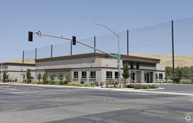
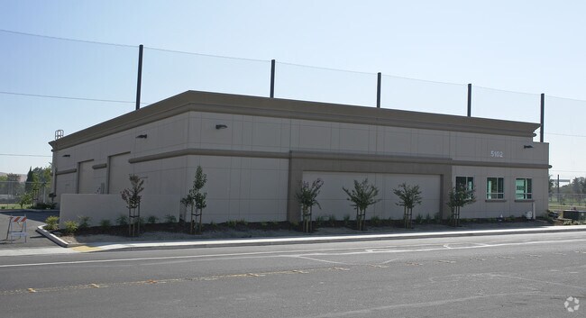
Property Record
5102 Port Chicago Hwy, Concord, CA 94520
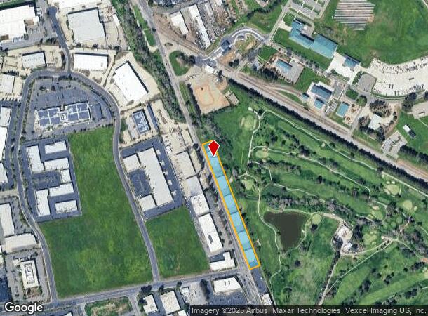
NEARBY LISTINGS FOR SALE OR LEASE
Property Detail
5102 Port Chicago Hwy
100-370-015-8
T9024 L2 & POR GOVERNMENT RANCH
Industrialpark
Contra Costa
AE
California
06013C0094H
2.47 AC
2025
Concord/Pleasant Hill
2025
East Bay/Oakland
315000
Oakland-Hayward-Berkeley, CA
7,220 SF
DEMOGRAPHICS near 5102 Port Chicago Hwy
1 Mile
3 Mile
5 Mile
2024 Total Population
2,292
40,386
177,832
2029 Population
2,268
40,397
176,722
Pop Growth 2024-2029
(1.05%)
+ 0.03%
(0.62%)
Average Age
42
41
40
2024 Total Households
813
14,654
62,824
HH Growth 2024-2029
(0.98%)
(0.08%)
(0.68%)
Median Household Inc
$104,592
$101,441
$103,808
Avg Household Size
2.70
2.60
2.70
2024 Avg HH Vehicles
2.00
2.00
2.00
Median Home Value
$704,239
$658,921
$700,805
Median Year Built
1964
1967
1974
Nearby Places
Map Layers
Map Styles
 Street
 Aerial
- Restaurants
- Banks
- Shops
- Fitness
- Groceries
PUBLIC TRANSPORTATION
TRANSIT/SUBWAY
North Concord / Martinez (Antioch to SFIA/Millbrae - Bay Area Rapid Transit (BART), Millbrae/SFIA to Antioch - Bay Area Rapid Transit (BART))
DRIVE
WALK
Distance
North Concord / Martinez (Antioch to SFIA/Millbrae - Bay Area Rapid Transit (BART), Millbrae/SFIA to Antioch - Bay Area Rapid Transit (BART))
3 min
20 min
1.0 mi
North Concord Martinez Station (Pittsburg/Bay Point - San Francisco International - Bay Area Rapid Transit (BART))
DRIVE
WALK
Distance
North Concord Martinez Station (Pittsburg/Bay Point - San Francisco International - Bay Area Rapid Transit (BART))
3 min
20 min
1.1 mi
COMMUTER RAIL
Martinez (California Zephyr - Capitol Corridor Joint Powers Authority, Capitol Corridor - Capitol Corridor Joint Powers Authority, Coast Starlight - Capitol Corridor Joint Powers Authority, San Joaquins - Capitol Corridor Joint Powers Authority)
DRIVE
WALK
Distance
Martinez (California Zephyr - Capitol Corridor Joint Powers Authority, Capitol Corridor - Capitol Corridor Joint Powers Authority, Coast Starlight - Capitol Corridor Joint Powers Authority, San Joaquins - Capitol Corridor Joint Powers Authority)
13 min
8.2 mi
AIRPORT
Metro Oakland International
DRIVE
WALK
Distance
Metro Oakland International
42 min
32.1 mi
Freight Ports
Port of Richmond
DRIVE
WALK
Distance
Port of Richmond
40 min
28.7 mi
Nearby Properties
Address
Land Use
TOTAL SIZE
Lot Size
Zoning
Address
Land Use
TOTAL SIZE
Lot Size
Zoning
562,584 SF
13.43 AC
Address
Land Use
TOTAL SIZE
Lot Size
Zoning
178.06 AC
HI
Address
Land Use
TOTAL SIZE
Lot Size
Zoning
25,089 SF
57.67 AC
HI
Address
Land Use
TOTAL SIZE
Lot Size
Zoning
152,581 SF
1.39 AC
Address
Land Use
TOTAL SIZE
Lot Size
Zoning
301,628 SF
1.68 AC
Address
Land Use
TOTAL SIZE
Lot Size
Zoning
59.41 AC
Address
Land Use
TOTAL SIZE
Lot Size
Zoning
154,213 SF
1.74 AC
Address
Land Use
TOTAL SIZE
Lot Size
Zoning
398.69 AC
HI
Address
Land Use
TOTAL SIZE
Lot Size
Zoning
196.06 AC
HI
Address
Land Use
TOTAL SIZE
Lot Size
Zoning
270.45 AC
A2
Address
Land Use
TOTAL SIZE
Lot Size
Zoning
443.48 AC
Address
Land Use
TOTAL SIZE
Lot Size
Zoning
81,186 SF
0.55 AC
Address
Land Use
TOTAL SIZE
Lot Size
Zoning
27,223 SF
10.95 AC
HI
Address
Land Use
TOTAL SIZE
Lot Size
Zoning
18,626 SF
482.84 AC
U
Address
Land Use
TOTAL SIZE
Lot Size
Zoning
697.36 AC
HI
Address
Land Use
TOTAL SIZE
Lot Size
Zoning
17,752 SF
8.08 AC
LI
Address
Land Use
TOTAL SIZE
Lot Size
Zoning
188,299 SF
12.55 AC
Address
Land Use
TOTAL SIZE
Lot Size
Zoning
284,083 SF
1.71 AC
Address
Land Use
TOTAL SIZE
Lot Size
Zoning
Address
Land Use
TOTAL SIZE
Lot Size
Zoning
204.82 AC
HI
Address
Land Use
TOTAL SIZE
Lot Size
Zoning
247.83 AC
LI
Address
Land Use
TOTAL SIZE
Lot Size
Zoning
369,042 SF
2.55 AC
Address
Land Use
TOTAL SIZE
Lot Size
Zoning
113,792 SF
11.54 AC
Address
Land Use
TOTAL SIZE
Lot Size
Zoning
138,877 SF
13.21 AC
Address
Land Use
TOTAL SIZE
Lot Size
Zoning
98,377 SF
6.93 AC
LI
Address
Land Use
TOTAL SIZE
Lot Size
Zoning
91,776 SF
3.29 AC
Address
Land Use
TOTAL SIZE
Lot Size
Zoning
155,904 SF
2.33 AC
Address
Land Use
TOTAL SIZE
Lot Size
Zoning
83,769 SF
6.31 AC
Address
Land Use
TOTAL SIZE
Lot Size
Zoning
189.45 AC
HI
Address
Land Use
TOTAL SIZE
Lot Size
Zoning
8,025 SF
6 AC
HI
The World's #1 Commercial Real Estate Marketplace
Connect with us
© 2026 CoStar Group
The information above has been obtained from sources believed reliable. While we do not doubt its accuracy we have not verified it and make no guarantee, warranty or representation about it. It is your responsibility to independently confirm its accuracy and completeness. Any projections, opinions, assumptions, or estimates used are for example only and do not represent the current or future performance of the property. The value of this transaction to you depends on tax and other factors which should be evaluated by your tax, financial, and legal advisors. You and your advisors should conduct a careful, independent investigation of the property to determine to your satisfaction the suitability of the property for your needs.