Property Record
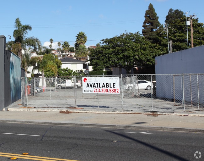
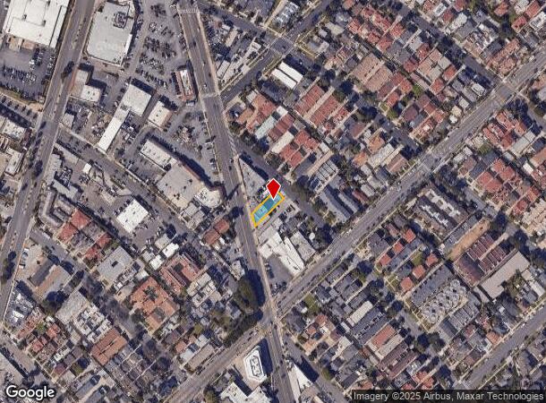
512 N Pacific Coast Hwy, Redondo Beach, CA 90277

NEARBY LISTINGS FOR SALE OR LEASE
Property Detail
512 N Pacific Coast Hwy
Los Angeles-Long Beach-Glendale, CA
Redondo Beach
7503-006-009
REDONDO BEACH VAC ST ADJ ON NE AND LOT 7 BLK 116
Storemultistory
Los Angeles
X
California
06037C1907G
7
2024
0.13 AC
2025
Beach Cities/Palos Verdes
621201
Los Angeles
2,261 SF
DEMOGRAPHICS near 512 N Pacific Coast Hwy
1 Mile
3 Mile
5 Mile
2024 Total Population
30,305
182,126
392,495
2029 Population
29,585
177,926
381,764
Pop Growth 2024-2029
(2.38%)
(2.31%)
(2.73%)
Average Age
42
42
41
2024 Total Households
13,005
72,684
148,677
HH Growth 2024-2029
(2.45%)
(2.47%)
(2.91%)
Median Household Inc
$133,121
$123,556
$109,954
Avg Household Size
2.20
2.40
2.60
2024 Avg HH Vehicles
2.00
2.00
2.00
Median Home Value
$1,101,391
$1,068,365
$1,003,886
Median Year Built
1973
1967
1965
Nearby Places
Map Layers
Map Styles
 Street
 Aerial
- Restaurants
- Banks
- Shops
- Fitness
- Groceries
PUBLIC TRANSPORTATION
AIRPORT
Los Angeles International
DRIVE
WALK
Distance
Los Angeles International
16 min
7.6 mi
Long Beach (Daugherty Field)
DRIVE
WALK
Distance
Long Beach (Daugherty Field)
23 min
15.1 mi
Bob Hope
DRIVE
WALK
Distance
Bob Hope
48 min
33.8 mi
Freight Ports
Port of Los Angeles
DRIVE
WALK
Distance
Port of Los Angeles
28 min
15.6 mi
Nearby Properties
Address
Land Use
TOTAL SIZE
Lot Size
Zoning
Address
Land Use
TOTAL SIZE
Lot Size
Zoning
267,305 SF
1.59 AC
TOHC-CTR
Address
Land Use
TOTAL SIZE
Lot Size
Zoning
205,797 SF
4.10 AC
HBR3*
Address
Land Use
TOTAL SIZE
Lot Size
Zoning
267,131 SF
12.10 AC
TOHHM
Address
Land Use
TOTAL SIZE
Lot Size
Zoning
718,086 SF
41.24 AC
RBI-1A
Address
Land Use
TOTAL SIZE
Lot Size
Zoning
848,217 SF
36.09 AC
RBI-1A
Address
Land Use
TOTAL SIZE
Lot Size
Zoning
321,011 SF
15.06 AC
TOMI-LT
Address
Land Use
TOTAL SIZE
Lot Size
Zoning
297,420 SF
6.65 AC
TOHC-CTR
Address
Land Use
TOTAL SIZE
Lot Size
Zoning
173,186 SF
2.07 AC
HBR3*
Address
Land Use
TOTAL SIZE
Lot Size
Zoning
1,504,661 SF
RBCR
Address
Land Use
TOTAL SIZE
Lot Size
Zoning
202,924 SF
6.15 AC
TOHC-CTR
Address
Land Use
TOTAL SIZE
Lot Size
Zoning
257,723 SF
4.06 AC
TOCC-GEN
Address
Land Use
TOTAL SIZE
Lot Size
Zoning
405,352 SF
7.70 AC
TOHC-CTR
Address
Land Use
TOTAL SIZE
Lot Size
Zoning
103,228 SF
1.19 AC
TORR-HI
Address
Land Use
TOTAL SIZE
Lot Size
Zoning
502,236 SF
11.58 AC
TOMI-LT
Address
Land Use
TOTAL SIZE
Lot Size
Zoning
75,054 SF
1.17 AC
RBRMD
Address
Land Use
TOTAL SIZE
Lot Size
Zoning
176,514 SF
3.74 AC
TORR-MH
Address
Land Use
TOTAL SIZE
Lot Size
Zoning
21.49 AC
RBP-GP
Address
Land Use
TOTAL SIZE
Lot Size
Zoning
147,414 SF
3.28 AC
TORR-MH
Address
Land Use
TOTAL SIZE
Lot Size
Zoning
308,439 SF
19.05 AC
TOHC-GEN
Address
Land Use
TOTAL SIZE
Lot Size
Zoning
318,052 SF
8.47 AC
TOHC-CTR
Address
Land Use
TOTAL SIZE
Lot Size
Zoning
28,199 SF
4.46 AC
MNCG
Address
Land Use
TOTAL SIZE
Lot Size
Zoning
121,931 SF
6.26 AC
TOHC-CTR
Address
Land Use
TOTAL SIZE
Lot Size
Zoning
287,730 SF
10.33 AC
TOHC-CTR
Address
Land Use
TOTAL SIZE
Lot Size
Zoning
438,614 SF
4.43 AC
RBW/W-VCS
Address
Land Use
TOTAL SIZE
Lot Size
Zoning
383,794 SF
10.74 AC
TOMI-LT
Address
Land Use
TOTAL SIZE
Lot Size
Zoning
143,796 SF
5.57 AC
RBI-1A
The World's #1 Commercial Real Estate Marketplace
Connect with us
© 2025 CoStar Group
The information above has been obtained from sources believed reliable. While we do not doubt its accuracy we have not verified it and make no guarantee, warranty or representation about it. It is your responsibility to independently confirm its accuracy and completeness. Any projections, opinions, assumptions, or estimates used are for example only and do not represent the current or future performance of the property. The value of this transaction to you depends on tax and other factors which should be evaluated by your tax, financial, and legal advisors. You and your advisors should conduct a careful, independent investigation of the property to determine to your satisfaction the suitability of the property for your needs.