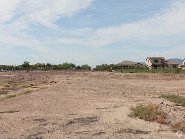
Property Record
5125 W Baseline Rd, Laveen, AZ 85339

NEARBY LISTINGS FOR SALE OR LEASE
Property Detail
5125 W Baseline Rd
Phoenix-Mesa-Scottsdale, AZ
Estrella Mountain Village Parcel 5 Lots
300-13-821
ESTRELLA MOUNTAIN VILLAGE PARCEL 5 LOTS 6 & 7 REPL MCR 1225-01
Autorepair
Maricopa
X
Arizona
04013C2195L
2
2025
0.95 AC
2025
Laveen
116619
Phoenix
6,948 SF
DEMOGRAPHICS near 5125 W Baseline Rd
1 Mile
3 Mile
5 Mile
2024 Total Population
17,276
68,978
130,312
2029 Population
18,692
74,789
141,508
Pop Growth 2024-2029
+ 8.20%
+ 8.42%
+ 8.59%
Average Age
33
33
33
2024 Total Households
4,743
18,769
35,435
HH Growth 2024-2029
+ 8.31%
+ 8.56%
+ 8.73%
Median Household Inc
$103,162
$85,210
$77,897
Avg Household Size
3.50
3.50
3.50
2024 Avg HH Vehicles
2.00
2.00
2.00
Median Home Value
$341,082
$344,074
$330,286
Median Year Built
2005
2005
2004
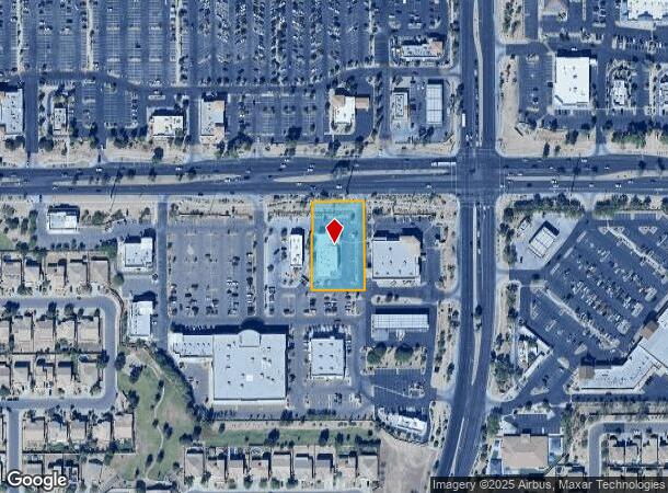
Nearby Places
Map Layers
Map Styles
 Street
 Aerial
- Restaurants
- Banks
- Shops
- Fitness
- Groceries
PUBLIC TRANSPORTATION
AIRPORT
Phoenix Sky Harbor International
DRIVE
WALK
Distance
Phoenix Sky Harbor International
26 min
14.1 mi
Phoenix-Mesa Gateway
DRIVE
WALK
Distance
Phoenix-Mesa Gateway
49 min
35.9 mi
Freight Ports
Port of San Diego
DRIVE
WALK
Distance
Port of San Diego
396 min
355.3 mi
Nearby Properties
Address
Land Use
TOTAL SIZE
Lot Size
Zoning
Address
Land Use
TOTAL SIZE
Lot Size
Zoning
68,452 SF
37.95 AC
R-35
Address
Land Use
TOTAL SIZE
Lot Size
Zoning
392,945 SF
47.26 AC
R-43AG
Address
Land Use
TOTAL SIZE
Lot Size
Zoning
367,953 SF
38.18 AC
R-43AG
Address
Land Use
TOTAL SIZE
Lot Size
Zoning
554,581 SF
37.82 AC
A1
Address
Land Use
TOTAL SIZE
Lot Size
Zoning
258,720 SF
46.57 AC
A-1
Address
Land Use
TOTAL SIZE
Lot Size
Zoning
1,135,308 SF
93.77 AC
I-1
Address
Land Use
TOTAL SIZE
Lot Size
Zoning
70,951 SF
336.40 AC
R-43AG
Address
Land Use
TOTAL SIZE
Lot Size
Zoning
233,156 SF
15.77 AC
R3A
Address
Land Use
TOTAL SIZE
Lot Size
Zoning
273,812 SF
32.75 AC
I-1
Address
Land Use
TOTAL SIZE
Lot Size
Zoning
93,310 SF
9.16 AC
R-6
Address
Land Use
TOTAL SIZE
Lot Size
Zoning
103,253 SF
13.22 AC
R-43AG
Address
Land Use
TOTAL SIZE
Lot Size
Zoning
95,854 SF
15.11 AC
R-43AG
Address
Land Use
TOTAL SIZE
Lot Size
Zoning
93,394 SF
12.06 AC
R-8
Address
Land Use
TOTAL SIZE
Lot Size
Zoning
416,645 SF
18.80 AC
M-H
Address
Land Use
TOTAL SIZE
Lot Size
Zoning
219,555 SF
21.25 AC
C2
Address
Land Use
TOTAL SIZE
Lot Size
Zoning
105,401 SF
13.82 AC
Address
Land Use
TOTAL SIZE
Lot Size
Zoning
101,619 SF
13.71 AC
R-8
Address
Land Use
TOTAL SIZE
Lot Size
Zoning
96,409 SF
14.63 AC
S1
Address
Land Use
TOTAL SIZE
Lot Size
Zoning
103,111 SF
12.13 AC
R-43
Address
Land Use
TOTAL SIZE
Lot Size
Zoning
92,917 SF
14.54 AC
Address
Land Use
TOTAL SIZE
Lot Size
Zoning
164,212 SF
11.81 AC
R-8
Address
Land Use
TOTAL SIZE
Lot Size
Zoning
120,280 SF
12.39 AC
R3
Address
Land Use
TOTAL SIZE
Lot Size
Zoning
39,000 SF
3.92 AC
C-C
Address
Land Use
TOTAL SIZE
Lot Size
Zoning
99,534 SF
27.98 AC
A1
Address
Land Use
TOTAL SIZE
Lot Size
Zoning
102,085 SF
12.32 AC
C-C
Address
Land Use
TOTAL SIZE
Lot Size
Zoning
75,877 SF
7.91 AC
R-43AG
Address
Land Use
TOTAL SIZE
Lot Size
Zoning
4,056 SF
4.62 AC
C-G
Address
Land Use
TOTAL SIZE
Lot Size
Zoning
71,722 SF
8.77 AC
C-N
Address
Land Use
TOTAL SIZE
Lot Size
Zoning
55,320 SF
6.27 AC
C-C
Address
Land Use
TOTAL SIZE
Lot Size
Zoning
53,188 SF
19.06 AC
R-43
The World's #1 Commercial Real Estate Marketplace
Connect with us
© 2025 CoStar Group
The information above has been obtained from sources believed reliable. While we do not doubt its accuracy we have not verified it and make no guarantee, warranty or representation about it. It is your responsibility to independently confirm its accuracy and completeness. Any projections, opinions, assumptions, or estimates used are for example only and do not represent the current or future performance of the property. The value of this transaction to you depends on tax and other factors which should be evaluated by your tax, financial, and legal advisors. You and your advisors should conduct a careful, independent investigation of the property to determine to your satisfaction the suitability of the property for your needs.