Property Record
513 Kirkland Rd, Covington, GA 30016


Save to a Folder
{{folder.Name}}
{{folder.ListingIds.length}} Properties
{{folder.ListingIds.length}} Property
Create a New Folder
Property Detail
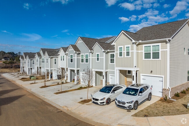
513 Kirkland Rd
0026000000028000
11.00 AC KIRKLAND RD
Officebuilding
Newton
R1
Georgia
A Areas with a 1% annual chance of flooding and a 26% chance of flooding over the life of a 30-year mortgage.
166
2025
11 AC
2025
Newton County
100506
Atlanta
2,858 SF
Atlanta-Sandy Springs-Roswell, GA
NEARBY LISTINGS FOR SALE OR LEASE
DEMOGRAPHICS near 513 Kirkland Rd
1 mile
3 mile
5 mile
2025 Total Population
5,564
43,118
95,676
2030 Population
6,038
46,683
103,278
Pop Growth 2025-2030
+ 8.52%
+ 8.27%
+ 7.95%
Average Age
37
37
38
2025 Total Households
1,843
15,155
33,710
HH Growth 2025-2030
+ 8.68%
+ 8.35%
+ 8.11%
Median Household Inc
$75,775
$71,479
$74,489
Avg Household Size
2.90
2.80
2.80
2025 Avg HH Vehicles
2.00
2.00
2.00
Median Home Value
$277,272
$259,478
$272,840
Median Year Built
2003
1999
1997
Nearby Places
Map Layers
Map Styles
 Street
 Aerial
Layers
 Traffic
 Biking
Places
Listings with unknown addresses are not visible on the map
- Restaurants
- Banks
- Shops
- Fitness
- Groceries
PUBLIC TRANSPORTATION
AIRPORT
Hartsfield - Jackson Atlanta International
Drive
Walk
Distance
Hartsfield - Jackson Atlanta International
51 min
37.1 mi
Freight Ports
Georgia Ports - Savannah
Drive
Walk
Distance
Georgia Ports - Savannah
275 min
228.3 mi
Nearby Properties
Address
Land Use
TOTAL SIZE
Lot Size
Zoning
Address
Land Use
TOTAL SIZE
Lot Size
Zoning
4,734 SF
35.19 AC
RMF
Address
Land Use
TOTAL SIZE
Lot Size
Zoning
306,886 SF
118.50 AC
R2
Address
Land Use
TOTAL SIZE
Lot Size
Zoning
1,648 SF
25.08 AC
C1
Address
Land Use
TOTAL SIZE
Lot Size
Zoning
882,960 SF
0.01 AC
Address
Land Use
TOTAL SIZE
Lot Size
Zoning
14,624 SF
26.09 AC
C1
Address
Land Use
TOTAL SIZE
Lot Size
Zoning
19,292 SF
8.20 AC
H1
Address
Land Use
TOTAL SIZE
Lot Size
Zoning
17,056 SF
16.78 AC
C1
Address
Land Use
TOTAL SIZE
Lot Size
Zoning
92,162 SF
11.21 AC
R2
Address
Land Use
TOTAL SIZE
Lot Size
Zoning
5,160 SF
45.17 AC
C1
Address
Land Use
TOTAL SIZE
Lot Size
Zoning
882,960 SF
114.02 AC
M1
Address
Land Use
TOTAL SIZE
Lot Size
Zoning
8,156 SF
14.49 AC
C1
Address
Land Use
TOTAL SIZE
Lot Size
Zoning
8,832 SF
8.26 AC
C1
Address
Land Use
TOTAL SIZE
Lot Size
Zoning
8,632 SF
8.11 AC
C1
Address
Land Use
TOTAL SIZE
Lot Size
Zoning
82,716 SF
21.04 AC
R2
Address
Land Use
TOTAL SIZE
Lot Size
Zoning
125,971 SF
23.84 AC
C1
Address
Land Use
TOTAL SIZE
Lot Size
Zoning
65,360 SF
75.51 AC
E6
Address
Land Use
TOTAL SIZE
Lot Size
Zoning
3,888 SF
7.17 AC
C1
Address
Land Use
TOTAL SIZE
Lot Size
Zoning
65,520 SF
35 AC
E6
Address
Land Use
TOTAL SIZE
Lot Size
Zoning
65,008 SF
23.81 AC
R2
Address
Land Use
TOTAL SIZE
Lot Size
Zoning
151,955 SF
26.17 AC
R1
Address
Land Use
TOTAL SIZE
Lot Size
Zoning
64,799 SF
19.10 AC
E6
Address
Land Use
TOTAL SIZE
Lot Size
Zoning
4,768 SF
263.26 AC
C1
Address
Land Use
TOTAL SIZE
Lot Size
Zoning
6,936 SF
8.88 AC
C1
Address
Land Use
TOTAL SIZE
Lot Size
Zoning
38,120 SF
155.15 AC
E1
Address
Land Use
TOTAL SIZE
Lot Size
Zoning
54,712 SF
54.54 AC
E6
Address
Land Use
TOTAL SIZE
Lot Size
Zoning
115,806 SF
29.25 AC
I1
Address
Land Use
TOTAL SIZE
Lot Size
Zoning
11,294 SF
7.63 AC
C1
Address
Land Use
TOTAL SIZE
Lot Size
Zoning
5,226 SF
8.13 AC
C1
Address
Land Use
TOTAL SIZE
Lot Size
Zoning
66,660 SF
12.80 AC
C1
Address
Land Use
TOTAL SIZE
Lot Size
Zoning
40,138 SF
13.59 AC
R1
The World's #1 Commercial Real Estate Marketplace
Connect with us
© 2026 CoStar Group
The information above has been obtained from sources believed reliable. While we do not doubt its accuracy we have not verified it and make no guarantee, warranty or representation about it. It is your responsibility to independently confirm its accuracy and completeness. Any projections, opinions, assumptions, or estimates used are for example only and do not represent the current or future performance of the property. The value of this transaction to you depends on tax and other factors which should be evaluated by your tax, financial, and legal advisors. You and your advisors should conduct a careful, independent investigation of the property to determine to your satisfaction the suitability of the property for your needs.