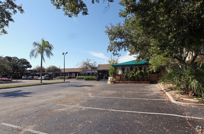
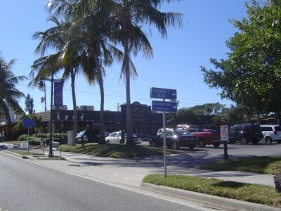
Property Record
5132 Ocean Blvd, Sarasota, FL 34242
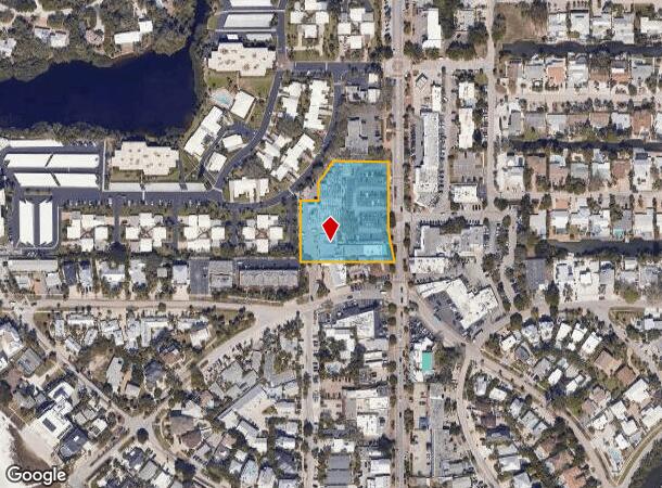
NEARBY LISTINGS FOR SALE OR LEASE
Property Detail
5132 Ocean Blvd
0080-16-0015
Not Part Of A Subdivision
Storemultistory
ALL OF BLK 8 & PART OF BLK 5 & STREETS & ALLEYS MIRA MAR BEACH EXTENSION VAC DESC AS FOLLOWS BEG AT POINT ON N BDRY LINE OF MIRA MAR BEACH SUB SAID PT BEING 35 FT WLY OF C/L OCEAN BLVD TH WLY ALG
AE
Sarasota
12115C0139G
Florida
2024
1.90 AC
2025
Sarasota
001903
Tampa/St Petersburg
24,892 SF
North Port-Sarasota-Bradenton, FL
DEMOGRAPHICS near 5132 Ocean Blvd
1 Mile
3 Mile
5 Mile
2024 Total Population
5,215
29,063
92,783
2029 Population
6,309
34,721
108,220
Pop Growth 2024-2029
+ 20.98%
+ 19.47%
+ 16.64%
Average Age
56
56
53
2024 Total Households
2,572
14,479
45,718
HH Growth 2024-2029
+ 21.19%
+ 19.81%
+ 16.92%
Median Household Inc
$127,415
$98,502
$76,543
Avg Household Size
2.00
2.00
1.90
2024 Avg HH Vehicles
2.00
2.00
2.00
Median Home Value
$814,091
$696,991
$451,430
Median Year Built
1975
1975
1975
Nearby Places
Map Layers
Map Styles
 Street
 Aerial
- Restaurants
- Banks
- Shops
- Fitness
- Groceries
PUBLIC TRANSPORTATION
AIRPORT
Sarasota/Bradenton International
DRIVE
WALK
Distance
Sarasota/Bradenton International
24 min
10.7 mi
Freight Ports
Port Manatee
DRIVE
WALK
Distance
Port Manatee
51 min
29.3 mi
SALE & LEASE HISTORY
LISTING DATE
SALE/LEASE

Jan 10, 2025
For Lease
Nearby Properties
Address
Land Use
TOTAL SIZE
Lot Size
Zoning
Address
Land Use
TOTAL SIZE
Lot Size
Zoning
588,839 SF
42.33 AC
GU
Address
Land Use
TOTAL SIZE
Lot Size
Zoning
253,844 SF
4.09 AC
WFR
Address
Land Use
TOTAL SIZE
Lot Size
Zoning
60.62 AC
G
Address
Land Use
TOTAL SIZE
Lot Size
Zoning
11,781 SF
43.95 AC
GU
Address
Land Use
TOTAL SIZE
Lot Size
Zoning
332,822 SF
34.74 AC
CG
Address
Land Use
TOTAL SIZE
Lot Size
Zoning
2,900 SF
152 AC
G
Address
Land Use
TOTAL SIZE
Lot Size
Zoning
133,389 SF
6.14 AC
WFR
Address
Land Use
TOTAL SIZE
Lot Size
Zoning
17,718 SF
3.91 AC
WFR
Address
Land Use
TOTAL SIZE
Lot Size
Zoning
151,814 SF
10.89 AC
CSCC
Address
Land Use
TOTAL SIZE
Lot Size
Zoning
146,339 SF
12.54 AC
CG
Address
Land Use
TOTAL SIZE
Lot Size
Zoning
177,957 SF
19.36 AC
G
Address
Land Use
TOTAL SIZE
Lot Size
Zoning
376,559 SF
26.52 AC
CSC
Address
Land Use
TOTAL SIZE
Lot Size
Zoning
81,337 SF
1.70 AC
RMF5
Address
Land Use
TOTAL SIZE
Lot Size
Zoning
96,425 SF
8.59 AC
OPI
Address
Land Use
TOTAL SIZE
Lot Size
Zoning
73,810 SF
3.98 AC
WFR
Address
Land Use
TOTAL SIZE
Lot Size
Zoning
89,101 SF
8.42 AC
CGD
Address
Land Use
TOTAL SIZE
Lot Size
Zoning
81,166 SF
13.18 AC
GU
Address
Land Use
TOTAL SIZE
Lot Size
Zoning
7,872 SF
1.63 AC
RSF1
Address
Land Use
TOTAL SIZE
Lot Size
Zoning
76,273 SF
6.53 AC
CSCC
Address
Land Use
TOTAL SIZE
Lot Size
Zoning
13,643 SF
36.64 AC
GU
Address
Land Use
TOTAL SIZE
Lot Size
Zoning
33,200 SF
16.91 AC
RSF1
Address
Land Use
TOTAL SIZE
Lot Size
Zoning
38,517 SF
7.56 AC
CI
Address
Land Use
TOTAL SIZE
Lot Size
Zoning
8,163 SF
2.40 AC
RMF4
Address
Land Use
TOTAL SIZE
Lot Size
Zoning
83,730 SF
1.53 AC
CG
Address
Land Use
TOTAL SIZE
Lot Size
Zoning
17,719 SF
6.47 AC
RMF2
Address
Land Use
TOTAL SIZE
Lot Size
Zoning
17,214 SF
1.85 AC
RSF1
Address
Land Use
TOTAL SIZE
Lot Size
Zoning
12,270 SF
0.87 AC
RSF1
Address
Land Use
TOTAL SIZE
Lot Size
Zoning
25.01 AC
CG
Address
Land Use
TOTAL SIZE
Lot Size
Zoning
55,861 SF
5.84 AC
CG
Address
Land Use
TOTAL SIZE
Lot Size
Zoning
12,222 SF
1.17 AC
RE2
The World's #1 Commercial Real Estate Marketplace
Connect with us
© 2025 CoStar Group
The information above has been obtained from sources believed reliable. While we do not doubt its accuracy we have not verified it and make no guarantee, warranty or representation about it. It is your responsibility to independently confirm its accuracy and completeness. Any projections, opinions, assumptions, or estimates used are for example only and do not represent the current or future performance of the property. The value of this transaction to you depends on tax and other factors which should be evaluated by your tax, financial, and legal advisors. You and your advisors should conduct a careful, independent investigation of the property to determine to your satisfaction the suitability of the property for your needs.