Property Record
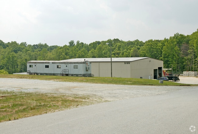
5135 Surrett Dr, High Point, NC 27263


Property Detail
5135 Surrett Dr
7707-29-0796
R1595;W
Officebuilding
RANDOLPH
LI
North Carolina
AE The base floodplain where base flood elevations are provided. AE Zones are now used on new format FIRMs instead of A1-A30 Zones.
28.09 AC
2025
NW Randolph Cnty/Archdale
2025
Greensboro/Winston-Salem
031601
Greensboro-High Point, NC
10,470 SF
NEARBY LISTINGS FOR SALE OR LEASE
DEMOGRAPHICS near 5135 Surrett Dr
1 mile
3 mile
5 mile
2025 Total Population
1,071
17,005
74,722
2030 Population
1,109
17,417
77,560
Pop Growth 2025-2030
+ 3.55%
+ 2.42%
+ 3.80%
Average Age
44
43
40
2025 Total Households
422
7,082
29,712
HH Growth 2025-2030
+ 3.32%
+ 2.44%
+ 3.89%
Median Household Inc
$76,054
$62,067
$55,712
Avg Household Size
2.40
2.30
2.40
2025 Avg HH Vehicles
2.00
2.00
2.00
Median Home Value
$247,931
$202,941
$196,249
Median Year Built
1985
1982
1977
Nearby Places
Map Layers
Map Styles
 Street
 Aerial
Transit
 Traffic
 Biking
Places
Listings with unknown addresses are not visible on the map
- Restaurants
- Banks
- Shops
- Fitness
- Groceries
PUBLIC TRANSPORTATION
COMMUTER RAIL
High Point Station (Piedmont - North Carolina by Train (NC Train))
Drive
Walk
Distance
High Point Station (Piedmont - North Carolina by Train (NC Train))
13 min
5.8 mi
AIRPORT
Piedmont Triad International
Drive
Walk
Distance
Piedmont Triad International
36 min
24.9 mi
Nearby Properties
Address
Land Use
TOTAL SIZE
Lot Size
Zoning
Address
Land Use
TOTAL SIZE
Lot Size
Zoning
355,633 SF
63.42 AC
HI
Address
Land Use
TOTAL SIZE
Lot Size
Zoning
204,276 SF
68.51 AC
M-2
Address
Land Use
TOTAL SIZE
Lot Size
Zoning
196,353 SF
13.76 AC
RC
Address
Land Use
TOTAL SIZE
Lot Size
Zoning
156,010 SF
36.21 AC
M-1
Address
Land Use
TOTAL SIZE
Lot Size
Zoning
351,736 SF
34.77 AC
HI
Address
Land Use
TOTAL SIZE
Lot Size
Zoning
127,800 SF
57.35 AC
M-1
Address
Land Use
TOTAL SIZE
Lot Size
Zoning
245,194 SF
23.44 AC
LI
Address
Land Use
TOTAL SIZE
Lot Size
Zoning
107,417 SF
6.46 AC
RM-26
Address
Land Use
TOTAL SIZE
Lot Size
Zoning
426,585 SF
27.46 AC
HI
Address
Land Use
TOTAL SIZE
Lot Size
Zoning
170,516 SF
17.08 AC
RC
Address
Land Use
TOTAL SIZE
Lot Size
Zoning
223,806 SF
12.60 AC
HI
Address
Land Use
TOTAL SIZE
Lot Size
Zoning
27,310 SF
20.06 AC
HI
Address
Land Use
TOTAL SIZE
Lot Size
Zoning
109,950 SF
28.29 AC
M-1
Address
Land Use
TOTAL SIZE
Lot Size
Zoning
28.20 AC
RR
Address
Land Use
TOTAL SIZE
Lot Size
Zoning
60,183 SF
8.63 AC
C-2
Address
Land Use
TOTAL SIZE
Lot Size
Zoning
127,280 SF
29.10 AC
LI-CZ
Address
Land Use
TOTAL SIZE
Lot Size
Zoning
45,224 SF
8.03 AC
OI
Address
Land Use
TOTAL SIZE
Lot Size
Zoning
104,623 SF
55.13 AC
RR
Address
Land Use
TOTAL SIZE
Lot Size
Zoning
234,080 SF
14.88 AC
HI
Address
Land Use
TOTAL SIZE
Lot Size
Zoning
9.70 AC
RR
Address
Land Use
TOTAL SIZE
Lot Size
Zoning
99,649 SF
15.58 AC
HI
Address
Land Use
TOTAL SIZE
Lot Size
Zoning
74,290 SF
7.31 AC
RC
Address
Land Use
TOTAL SIZE
Lot Size
Zoning
240,510 SF
3.76 AC
LI
Address
Land Use
TOTAL SIZE
Lot Size
Zoning
246,972 SF
19.83 AC
HI
Address
Land Use
TOTAL SIZE
Lot Size
Zoning
8,927 SF
3.60 AC
OI
Address
Land Use
TOTAL SIZE
Lot Size
Zoning
42,262 SF
6.73 AC
M1
Address
Land Use
TOTAL SIZE
Lot Size
Zoning
114,220 SF
69.22 AC
M1
Address
Land Use
TOTAL SIZE
Lot Size
Zoning
99,722 SF
38.11 AC
M-2
Address
Land Use
TOTAL SIZE
Lot Size
Zoning
202,416 SF
11.45 AC
M-1
Address
Land Use
TOTAL SIZE
Lot Size
Zoning
185,227 SF
11.28 AC
LI
The World's #1 Commercial Real Estate Marketplace
Connect with us
© 2026 CoStar Group
The information above has been obtained from sources believed reliable. While we do not doubt its accuracy we have not verified it and make no guarantee, warranty or representation about it. It is your responsibility to independently confirm its accuracy and completeness. Any projections, opinions, assumptions, or estimates used are for example only and do not represent the current or future performance of the property. The value of this transaction to you depends on tax and other factors which should be evaluated by your tax, financial, and legal advisors. You and your advisors should conduct a careful, independent investigation of the property to determine to your satisfaction the suitability of the property for your needs.