Property Record
5174 W Liberator Dr, Salt Lake City, UT 84118

Property Detail
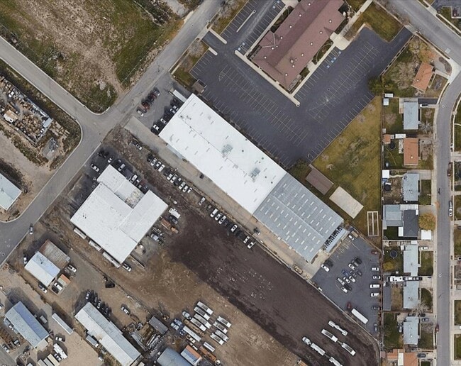
5174 W Liberator Dr
Salt Lake City-Murray, UT
LOT 100, KINIKINI SUBDIVISION AMD. 11288-5858 11318-7900 11352-5886 11373-4656 11378-7340 11381-8659 11423-3070 11443-5936 11458-9781
20-12-201-024-0000
SALT LAKE
Multipleuses
Utah
M-2
100
2024
3.47 AC
2025
West Valley/Lake Park
113802
Salt Lake City
50,400 SF
NEARBY LISTINGS FOR SALE OR LEASE
DEMOGRAPHICS near 5174 W Liberator Dr
1 mile
3 mile
5 mile
2025 Total Population
22,317
157,281
333,362
2030 Population
22,541
160,760
342,389
Pop Growth 2025-2030
+ 1.00%
+ 2.21%
+ 2.71%
Average Age
35
36
36
2025 Total Households
5,974
44,073
98,340
HH Growth 2025-2030
+ 1.12%
+ 2.39%
+ 2.86%
Median Household Inc
$84,672
$97,813
$96,509
Avg Household Size
3.60
3.40
3.30
2025 Avg HH Vehicles
2.00
2.00
2.00
Median Home Value
$382,399
$425,892
$447,225
Median Year Built
1973
1982
1987
Nearby Places
Map Layers
Map Styles
 Street
 Aerial
Layers
 Traffic
 Biking
Places
Listings with unknown addresses are not visible on the map
- Restaurants
- Banks
- Shops
- Fitness
- Groceries
PUBLIC TRANSPORTATION
AIRPORT
Salt Lake City International
Drive
Walk
Distance
Salt Lake City International
18 min
11.0 mi
Provo Municipal
Drive
Walk
Distance
Provo Municipal
60 min
44.0 mi
Nearby Properties
Address
Land Use
TOTAL SIZE
Lot Size
Zoning
Address
Land Use
TOTAL SIZE
Lot Size
Zoning
895,175 SF
28.95 AC
SSD-X
Address
Land Use
TOTAL SIZE
Lot Size
Zoning
1,113,459 SF
80.09 AC
M
Address
Land Use
TOTAL SIZE
Lot Size
Zoning
187.81 AC
P-F
Address
Land Use
TOTAL SIZE
Lot Size
Zoning
329,306 SF
14.67 AC
5005
Address
Land Use
TOTAL SIZE
Lot Size
Zoning
187,717 SF
15.02 AC
R-M
Address
Land Use
TOTAL SIZE
Lot Size
Zoning
63,758 SF
13.93 AC
RM
Address
Land Use
TOTAL SIZE
Lot Size
Zoning
289,725 SF
8.42 AC
1108
Address
Land Use
TOTAL SIZE
Lot Size
Zoning
250,027 SF
8.46 AC
PF
Address
Land Use
TOTAL SIZE
Lot Size
Zoning
186,337 SF
20 AC
1107
Address
Land Use
TOTAL SIZE
Lot Size
Zoning
297,972 SF
45.67 AC
M
Address
Land Use
TOTAL SIZE
Lot Size
Zoning
72 AC
2000
Address
Land Use
TOTAL SIZE
Lot Size
Zoning
131,500 SF
75.92 AC
R-1-10
Address
Land Use
TOTAL SIZE
Lot Size
Zoning
71,093 SF
29.58 AC
PF
Address
Land Use
TOTAL SIZE
Lot Size
Zoning
281,172 SF
12.91 AC
MI
Address
Land Use
TOTAL SIZE
Lot Size
Zoning
244,871 SF
14.53 AC
4144
Address
Land Use
TOTAL SIZE
Lot Size
Zoning
350,675 SF
36.41 AC
M
Address
Land Use
TOTAL SIZE
Lot Size
Zoning
342.97 AC
M
Address
Land Use
TOTAL SIZE
Lot Size
Zoning
12,118 SF
9.86 AC
RM
Address
Land Use
TOTAL SIZE
Lot Size
Zoning
95,998 SF
9.46 AC
1107
Address
Land Use
TOTAL SIZE
Lot Size
Zoning
391,140 SF
17.41 AC
M
Address
Land Use
TOTAL SIZE
Lot Size
Zoning
20,243 SF
10.04 AC
RM
Address
Land Use
TOTAL SIZE
Lot Size
Zoning
131,159 SF
14 AC
5306
Address
Land Use
TOTAL SIZE
Lot Size
Zoning
338,098 SF
7.24 AC
SSD-X
Address
Land Use
TOTAL SIZE
Lot Size
Zoning
171,937 SF
24.21 AC
R-1-8
Address
Land Use
TOTAL SIZE
Lot Size
Zoning
60,295 SF
41.98 AC
4144
Address
Land Use
TOTAL SIZE
Lot Size
Zoning
211,058 SF
21.71 AC
C-2
Address
Land Use
TOTAL SIZE
Lot Size
Zoning
178,750 SF
9.94 AC
M-1
Address
Land Use
TOTAL SIZE
Lot Size
Zoning
211,162 SF
19.87 AC
C-2
Address
Land Use
TOTAL SIZE
Lot Size
Zoning
150,000 SF
6.57 AC
MI
Address
Land Use
TOTAL SIZE
Lot Size
Zoning
82,368 SF
11.53 AC
RM
The World's #1 Commercial Real Estate Marketplace
Connect with us
© 2026 CoStar Group
The information above has been obtained from sources believed reliable. While we do not doubt its accuracy we have not verified it and make no guarantee, warranty or representation about it. It is your responsibility to independently confirm its accuracy and completeness. Any projections, opinions, assumptions, or estimates used are for example only and do not represent the current or future performance of the property. The value of this transaction to you depends on tax and other factors which should be evaluated by your tax, financial, and legal advisors. You and your advisors should conduct a careful, independent investigation of the property to determine to your satisfaction the suitability of the property for your needs.