Property Record
515 College Hwy, Southwick, MA 01077
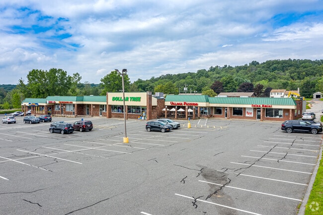


NEARBY LISTINGS FOR SALE OR LEASE
Property Detail
515 College Hwy
SWIC-000076-000000-000001
Hampden
Supermarket
Massachusetts
X
1
25013C0367E
3.10 AC
2025
Hampden County
2025
Hartford
813102
Springfield, MA
35,478 SF
DEMOGRAPHICS near 515 College Hwy
1 Mile
3 Mile
5 Mile
2024 Total Population
1,879
11,656
42,087
2029 Population
1,850
11,526
41,430
Pop Growth 2024-2029
(1.54%)
(1.12%)
(1.56%)
Average Age
46
44
43
2024 Total Households
835
4,842
17,173
HH Growth 2024-2029
(1.68%)
(1.22%)
(1.64%)
Median Household Inc
$98,780
$102,534
$85,645
Avg Household Size
2.20
2.40
2.40
2024 Avg HH Vehicles
2.00
2.00
2.00
Median Home Value
$301,456
$338,362
$303,308
Median Year Built
1973
1975
1968
Nearby Places
Map Layers
Map Styles
 Street
 Aerial
- Restaurants
- Banks
- Shops
- Fitness
- Groceries
PUBLIC TRANSPORTATION
AIRPORT
Bradley International
DRIVE
WALK
Distance
Bradley International
29 min
13.3 mi
SALE & LEASE HISTORY
LISTING DATE
SALE/LEASE

Apr 22, 2020
For Lease
Nearby Properties
Address
Land Use
TOTAL SIZE
Lot Size
Zoning
Address
Land Use
TOTAL SIZE
Lot Size
Zoning
92,866 SF
32 AC
R20A
Address
Land Use
TOTAL SIZE
Lot Size
Zoning
185,556 SF
64.01 AC
R-20A
Address
Land Use
TOTAL SIZE
Lot Size
Zoning
4,628 SF
16.01 AC
R-20
Address
Land Use
TOTAL SIZE
Lot Size
Zoning
27,730 SF
17 AC
BR
Address
Land Use
TOTAL SIZE
Lot Size
Zoning
9.80 AC
Address
Land Use
TOTAL SIZE
Lot Size
Zoning
51,608 SF
6.43 AC
IR
Address
Land Use
TOTAL SIZE
Lot Size
Zoning
63,175 SF
4.39 AC
IR
Address
Land Use
TOTAL SIZE
Lot Size
Zoning
2,684 SF
17.01 AC
BR
Address
Land Use
TOTAL SIZE
Lot Size
Zoning
57,159 SF
7.07 AC
B
Address
Land Use
TOTAL SIZE
Lot Size
Zoning
10,114 SF
33 AC
BR
Address
Land Use
TOTAL SIZE
Lot Size
Zoning
8,352 SF
102.90 AC
Address
Land Use
TOTAL SIZE
Lot Size
Zoning
31,216 SF
9.20 AC
I
Address
Land Use
TOTAL SIZE
Lot Size
Zoning
32,705 SF
5.98 AC
Address
Land Use
TOTAL SIZE
Lot Size
Zoning
2,183 SF
5.59 AC
BR
Address
Land Use
TOTAL SIZE
Lot Size
Zoning
76.24 AC
IR
Address
Land Use
TOTAL SIZE
Lot Size
Zoning
5,501 SF
7.70 AC
R-20
Address
Land Use
TOTAL SIZE
Lot Size
Zoning
41,885 SF
4.13 AC
IR
Address
Land Use
TOTAL SIZE
Lot Size
Zoning
45,840 SF
3.46 AC
B
Address
Land Use
TOTAL SIZE
Lot Size
Zoning
2.33 AC
Address
Land Use
TOTAL SIZE
Lot Size
Zoning
73,420 SF
B-20
Address
Land Use
TOTAL SIZE
Lot Size
Zoning
22,620 SF
5.90 AC
BR
Address
Land Use
TOTAL SIZE
Lot Size
Zoning
40,636 SF
2.40 AC
IR
Address
Land Use
TOTAL SIZE
Lot Size
Zoning
17,016 SF
6.03 AC
BR
Address
Land Use
TOTAL SIZE
Lot Size
Zoning
11,304 SF
0.52 AC
BR
Address
Land Use
TOTAL SIZE
Lot Size
Zoning
12,847 SF
2.25 AC
B
Address
Land Use
TOTAL SIZE
Lot Size
Zoning
9,574 SF
5.80 AC
R-40
Address
Land Use
TOTAL SIZE
Lot Size
Zoning
21,200 SF
3 AC
BR
Address
Land Use
TOTAL SIZE
Lot Size
Zoning
7,200 SF
5.69 AC
IR
Address
Land Use
TOTAL SIZE
Lot Size
Zoning
1,819 SF
3.45 AC
B
Address
Land Use
TOTAL SIZE
Lot Size
Zoning
10,655 SF
1.43 AC
BR
The World's #1 Commercial Real Estate Marketplace
Connect with us
© 2026 CoStar Group
The information above has been obtained from sources believed reliable. While we do not doubt its accuracy we have not verified it and make no guarantee, warranty or representation about it. It is your responsibility to independently confirm its accuracy and completeness. Any projections, opinions, assumptions, or estimates used are for example only and do not represent the current or future performance of the property. The value of this transaction to you depends on tax and other factors which should be evaluated by your tax, financial, and legal advisors. You and your advisors should conduct a careful, independent investigation of the property to determine to your satisfaction the suitability of the property for your needs.