Property Record
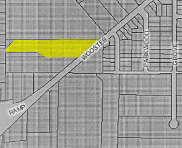
5151 Wooster Rd W, Norton, OH 44203


Property Detail
5151 Wooster Rd W
Akron, OH
LOT 84 W OF WOOSTER RD 4.980 AC
46-07598
SUMMIT
Industrialgeneral
Ohio
B and X Area of moderate flood hazard, usually the area between the limits of the 100-year and 500-year floods.
84
2025
4.98 AC
2026
Akron
532001
Cleveland
29,338 SF
NEARBY LISTINGS FOR SALE OR LEASE
DEMOGRAPHICS near 5151 Wooster Rd W
1 mile
3 mile
5 mile
2025 Total Population
3,248
26,200
71,024
2030 Population
3,224
26,242
71,110
Pop Growth 2025-2030
(0.74%)
+ 0.16%
+ 0.12%
Average Age
44
42
42
2025 Total Households
1,412
10,905
29,437
HH Growth 2025-2030
(0.78%)
+ 0.10%
+ 0.08%
Median Household Inc
$70,122
$63,456
$64,440
Avg Household Size
2.30
2.40
2.40
2025 Avg HH Vehicles
2.00
2.00
2.00
Median Home Value
$159,859
$171,009
$183,503
Median Year Built
1956
1961
1963
Nearby Places
Map Layers
Map Styles
 Street
 Aerial
Layers
 Traffic
 Biking
Places
Listings with unknown addresses are not visible on the map
- Restaurants
- Banks
- Shops
- Fitness
- Groceries
PUBLIC TRANSPORTATION
AIRPORT
Akron-Canton Regional
Drive
Walk
Distance
Akron-Canton Regional
29 min
21.6 mi
Freight Ports
Port of Toledo
Drive
Walk
Distance
Port of Toledo
160 min
135.9 mi
Nearby Properties
Address
Land Use
TOTAL SIZE
Lot Size
Zoning
Address
Land Use
TOTAL SIZE
Lot Size
Zoning
148,344 SF
40.32 AC
Address
Land Use
TOTAL SIZE
Lot Size
Zoning
Address
Land Use
TOTAL SIZE
Lot Size
Zoning
Address
Land Use
TOTAL SIZE
Lot Size
Zoning
Address
Land Use
TOTAL SIZE
Lot Size
Zoning
34.80 AC
Address
Land Use
TOTAL SIZE
Lot Size
Zoning
Address
Land Use
TOTAL SIZE
Lot Size
Zoning
87,486 SF
7.25 AC
Address
Land Use
TOTAL SIZE
Lot Size
Zoning
142,266 SF
8.15 AC
Address
Land Use
TOTAL SIZE
Lot Size
Zoning
204,276 SF
28.95 AC
Address
Land Use
TOTAL SIZE
Lot Size
Zoning
29,161 SF
15.94 AC
Address
Land Use
TOTAL SIZE
Lot Size
Zoning
Address
Land Use
TOTAL SIZE
Lot Size
Zoning
253,690 SF
12.18 AC
Address
Land Use
TOTAL SIZE
Lot Size
Zoning
448.72 AC
Address
Land Use
TOTAL SIZE
Lot Size
Zoning
43,727 SF
97.90 AC
Address
Land Use
TOTAL SIZE
Lot Size
Zoning
994,273 SF
58.70 AC
Address
Land Use
TOTAL SIZE
Lot Size
Zoning
17.74 AC
Address
Land Use
TOTAL SIZE
Lot Size
Zoning
832 SF
16.75 AC
Address
Land Use
TOTAL SIZE
Lot Size
Zoning
17.87 AC
Address
Land Use
TOTAL SIZE
Lot Size
Zoning
Address
Land Use
TOTAL SIZE
Lot Size
Zoning
144,162 SF
17.39 AC
Address
Land Use
TOTAL SIZE
Lot Size
Zoning
45,463 SF
1.64 AC
Address
Land Use
TOTAL SIZE
Lot Size
Zoning
127,176 SF
8.10 AC
Address
Land Use
TOTAL SIZE
Lot Size
Zoning
56,967 SF
1.62 AC
Address
Land Use
TOTAL SIZE
Lot Size
Zoning
75,284 SF
5 AC
Address
Land Use
TOTAL SIZE
Lot Size
Zoning
110,316 SF
6 AC
Address
Land Use
TOTAL SIZE
Lot Size
Zoning
52,514 SF
6.43 AC
Address
Land Use
TOTAL SIZE
Lot Size
Zoning
1,362 SF
3.77 AC
Address
Land Use
TOTAL SIZE
Lot Size
Zoning
182,908 SF
7.87 AC
Address
Land Use
TOTAL SIZE
Lot Size
Zoning
296,613 SF
206.47 AC
Address
Land Use
TOTAL SIZE
Lot Size
Zoning
176,050 SF
9.07 AC
The World's #1 Commercial Real Estate Marketplace
Connect with us
© 2026 CoStar Group
The information above has been obtained from sources believed reliable. While we do not doubt its accuracy we have not verified it and make no guarantee, warranty or representation about it. It is your responsibility to independently confirm its accuracy and completeness. Any projections, opinions, assumptions, or estimates used are for example only and do not represent the current or future performance of the property. The value of this transaction to you depends on tax and other factors which should be evaluated by your tax, financial, and legal advisors. You and your advisors should conduct a careful, independent investigation of the property to determine to your satisfaction the suitability of the property for your needs.