Property Record
5158 Jackson St, Oshkosh, WI 54901
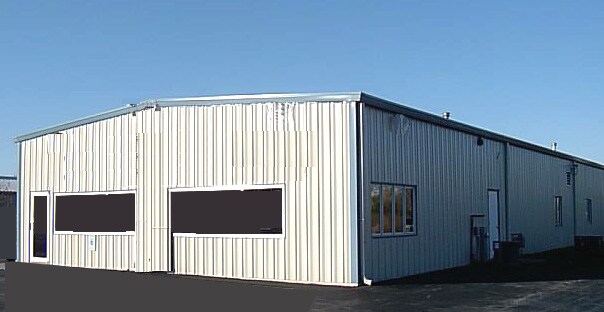

Property Detail
5158 Jackson St
Oshkosh-Neenah, WI
PT NW NW DESC AS LOT 1 OF CSM-4916 2.45 A.
018-0270
Winnebago
Commercialnec
Wisconsin
B3HB
1
B and X Area of moderate flood hazard, usually the area between the limits of the 100-year and 500-year floods.
2.45 AC
2024
Appleton/Oshkosh
2025
Other Market Areas
001600
NEARBY LISTINGS FOR SALE OR LEASE
-
-
View all Oshkosh listings for sale on LoopNet.com
DEMOGRAPHICS near 5158 Jackson St
1 mile
3 mile
5 mile
2025 Total Population
748
8,931
41,563
2030 Population
758
9,031
41,952
Pop Growth 2025-2030
+ 1.34%
+ 1.12%
+ 0.94%
Average Age
43
43
39
2025 Total Households
320
2,623
15,433
HH Growth 2025-2030
+ 1.25%
+ 2.02%
+ 1.16%
Median Household Inc
$92,646
$88,338
$68,510
Avg Household Size
2.20
2.30
2.30
2025 Avg HH Vehicles
2.00
2.00
2.00
Median Home Value
$374,999
$297,202
$227,297
Median Year Built
1990
1989
1971
Nearby Places
Map Layers
Map Styles
 Street
 Aerial
Layers
 Traffic
 Biking
Places
Listings with unknown addresses are not visible on the map
- Restaurants
- Banks
- Shops
- Fitness
- Groceries
PUBLIC TRANSPORTATION
AIRPORT
Appleton International
Drive
Walk
Distance
Appleton International
21 min
15.3 mi
Freight Ports
Port Milwaukee
Drive
Walk
Distance
Port Milwaukee
109 min
93.7 mi
Nearby Properties
Address
Land Use
TOTAL SIZE
Lot Size
Zoning
Address
Land Use
TOTAL SIZE
Lot Size
Zoning
552,602 SF
7.28 AC
M3
Address
Land Use
TOTAL SIZE
Lot Size
Zoning
485,007 SF
41.76 AC
M3
Address
Land Use
TOTAL SIZE
Lot Size
Zoning
2,316 SF
17.35 AC
MR-20-PD
Address
Land Use
TOTAL SIZE
Lot Size
Zoning
70,335 SF
16 AC
HI
Address
Land Use
TOTAL SIZE
Lot Size
Zoning
4.52 AC
SMU-PD
Address
Land Use
TOTAL SIZE
Lot Size
Zoning
96,928 SF
6.94 AC
MR-12
Address
Land Use
TOTAL SIZE
Lot Size
Zoning
179,700 SF
10.06 AC
M3
Address
Land Use
TOTAL SIZE
Lot Size
Zoning
76,815 SF
12.27 AC
C2
Address
Land Use
TOTAL SIZE
Lot Size
Zoning
135,562 SF
9.40 AC
MR-20-PD
Address
Land Use
TOTAL SIZE
Lot Size
Zoning
24,751 SF
7.75 AC
C2
Address
Land Use
TOTAL SIZE
Lot Size
Zoning
62,266 SF
14.54 AC
HI
Address
Land Use
TOTAL SIZE
Lot Size
Zoning
14.92 AC
M1
Address
Land Use
TOTAL SIZE
Lot Size
Zoning
21.21 AC
B3
Address
Land Use
TOTAL SIZE
Lot Size
Zoning
60,528 SF
5.12 AC
MR-20-PD
Address
Land Use
TOTAL SIZE
Lot Size
Zoning
58,800 SF
9.56 AC
M3
Address
Land Use
TOTAL SIZE
Lot Size
Zoning
79,600 SF
4.92 AC
M3
Address
Land Use
TOTAL SIZE
Lot Size
Zoning
59,140 SF
6.08 AC
MR-20-PD
Address
Land Use
TOTAL SIZE
Lot Size
Zoning
47,650 SF
7.15 AC
M3
Address
Land Use
TOTAL SIZE
Lot Size
Zoning
40 AC
A2
Address
Land Use
TOTAL SIZE
Lot Size
Zoning
34,393 SF
4.56 AC
SMU
Address
Land Use
TOTAL SIZE
Lot Size
Zoning
2.51 AC
R4
Address
Land Use
TOTAL SIZE
Lot Size
Zoning
9.14 AC
HI
Address
Land Use
TOTAL SIZE
Lot Size
Zoning
104,712 SF
11.61 AC
M3
Address
Land Use
TOTAL SIZE
Lot Size
Zoning
61,711 SF
7.10 AC
M1
Address
Land Use
TOTAL SIZE
Lot Size
Zoning
4.80 AC
R4
Address
Land Use
TOTAL SIZE
Lot Size
Zoning
7.53 AC
M1
Address
Land Use
TOTAL SIZE
Lot Size
Zoning
71,020 SF
5.38 AC
M3
Address
Land Use
TOTAL SIZE
Lot Size
Zoning
15.51 AC
Address
Land Use
TOTAL SIZE
Lot Size
Zoning
4,164 SF
27.75 AC
R3
Address
Land Use
TOTAL SIZE
Lot Size
Zoning
19.33 AC
The World's #1 Commercial Real Estate Marketplace
Connect with us
© 2026 CoStar Group
The information above has been obtained from sources believed reliable. While we do not doubt its accuracy we have not verified it and make no guarantee, warranty or representation about it. It is your responsibility to independently confirm its accuracy and completeness. Any projections, opinions, assumptions, or estimates used are for example only and do not represent the current or future performance of the property. The value of this transaction to you depends on tax and other factors which should be evaluated by your tax, financial, and legal advisors. You and your advisors should conduct a careful, independent investigation of the property to determine to your satisfaction the suitability of the property for your needs.