Property Record
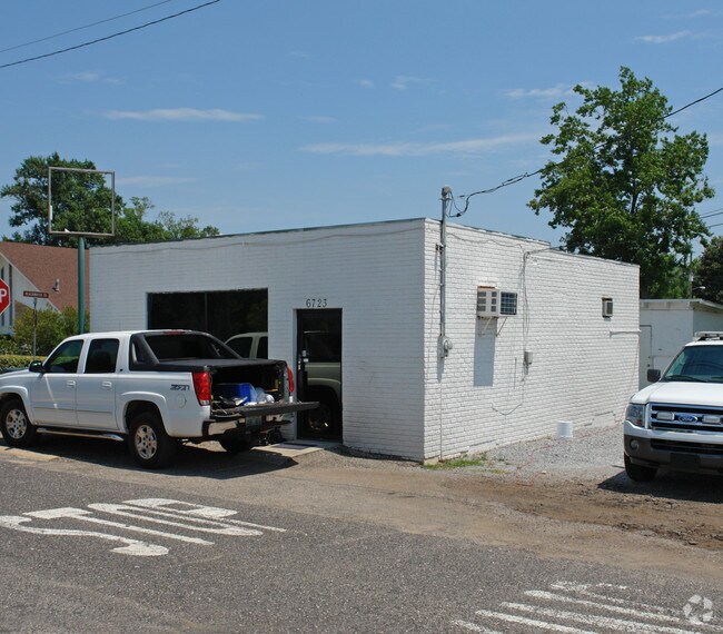
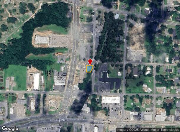
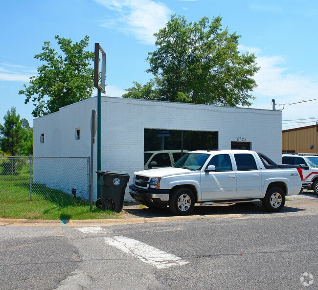
6723 Margaret St, Milton, FL 32570
NEARBY LISTINGS FOR SALE OR LEASE
Property Detail
6723 Margaret St
Pensacola-Ferry Pass-Brent, FL
Town Of Milton
03-1N-28-2530-05100-0013
TOWN OF MILTON BEG NE CORN OF BLK 51 THN W 76.97 FT THN S 61 .6 FT THN ELY 60 FT TO W R/W OF RR THN NELY PARALLEL TO & 50 FT FROM C/L OF RR 41 FT THN N 20.2 FT TO POB AS DES IN OR 1875 PG 1763 & ALSO PORT OF #1.4 DES AS FOLLOWS: COM AT NE BLK CORN TH
Officebuilding
Santa Rosa
X
Florida
12113C0431H
13
2024
0.09 AC
2025
Avalon Beach/Milton
010602
Pensacola
810 SF
DEMOGRAPHICS near 6723 Margaret St
1 Mile
3 Mile
5 Mile
2024 Total Population
3,749
27,353
55,027
2029 Population
4,284
31,388
63,013
Pop Growth 2024-2029
+ 14.27%
+ 14.75%
+ 14.51%
Average Age
41
40
40
2024 Total Households
1,534
10,640
20,252
HH Growth 2024-2029
+ 14.73%
+ 15.09%
+ 15.14%
Median Household Inc
$56,349
$66,677
$71,664
Avg Household Size
2.30
2.50
2.50
2024 Avg HH Vehicles
1.00
2.00
2.00
Median Home Value
$154,833
$204,568
$226,251
Median Year Built
1976
1987
1991
Nearby Places
- Restaurants
- Banks
- Shops
- Fitness
- Groceries
PUBLIC TRANSPORTATION
AIRPORT
Pensacola International
DRIVE
WALK
Distance
Pensacola International
34 min
19.5 mi
Freight Ports
Port of Mobile
DRIVE
WALK
Distance
Port of Mobile
83 min
69.6 mi
Nearby Properties
Address
Land Use
TOTAL SIZE
Lot Size
Zoning
Address
Land Use
TOTAL SIZE
Lot Size
Zoning
173,250 SF
28.91 AC
C1
Address
Land Use
TOTAL SIZE
Lot Size
Zoning
80,314 SF
9.76 AC
C1
Address
Land Use
TOTAL SIZE
Lot Size
Zoning
8,223 SF
40 AC
Address
Land Use
TOTAL SIZE
Lot Size
Zoning
102,921 SF
5 AC
R3
Address
Land Use
TOTAL SIZE
Lot Size
Zoning
113,178 SF
8.61 AC
HCD
Address
Land Use
TOTAL SIZE
Lot Size
Zoning
151,842 SF
14.28 AC
C2
Address
Land Use
TOTAL SIZE
Lot Size
Zoning
113,652 SF
9.52 AC
C2
Address
Land Use
TOTAL SIZE
Lot Size
Zoning
82,878 SF
9.07 AC
HCD
Address
Land Use
TOTAL SIZE
Lot Size
Zoning
76.81 AC
R1
Address
Land Use
TOTAL SIZE
Lot Size
Zoning
98,250 SF
49.63 AC
HCD
Address
Land Use
TOTAL SIZE
Lot Size
Zoning
147,443 SF
11.44 AC
I1
Address
Land Use
TOTAL SIZE
Lot Size
Zoning
39,570 SF
0.36 AC
C1
Address
Land Use
TOTAL SIZE
Lot Size
Zoning
81,150 SF
4.86 AC
HCD
Address
Land Use
TOTAL SIZE
Lot Size
Zoning
68,026 SF
2.07 AC
RC1
Address
Land Use
TOTAL SIZE
Lot Size
Zoning
48,210 SF
8.98 AC
C2
Address
Land Use
TOTAL SIZE
Lot Size
Zoning
16,903 SF
11 AC
AG-RR
Address
Land Use
TOTAL SIZE
Lot Size
Zoning
91,887 SF
10.83 AC
C1
Address
Land Use
TOTAL SIZE
Lot Size
Zoning
10 AC
R1A
Address
Land Use
TOTAL SIZE
Lot Size
Zoning
37,820 SF
16.98 AC
HCD
Address
Land Use
TOTAL SIZE
Lot Size
Zoning
49,540 SF
2.30 AC
HCD
Address
Land Use
TOTAL SIZE
Lot Size
Zoning
40,142 SF
5.28 AC
R3
Address
Land Use
TOTAL SIZE
Lot Size
Zoning
41,105 SF
8.16 AC
HCD
Address
Land Use
TOTAL SIZE
Lot Size
Zoning
43,312 SF
15 AC
HCD
Address
Land Use
TOTAL SIZE
Lot Size
Zoning
46,613 SF
5.72 AC
C1
Address
Land Use
TOTAL SIZE
Lot Size
Zoning
72,208 SF
66.85 AC
C2
Address
Land Use
TOTAL SIZE
Lot Size
Zoning
60,717 SF
4.43 AC
HCD
Address
Land Use
TOTAL SIZE
Lot Size
Zoning
15 AC
R1A
Address
Land Use
TOTAL SIZE
Lot Size
Zoning
22.09 AC
PE
Address
Land Use
TOTAL SIZE
Lot Size
Zoning
35,405 SF
2.55 AC
R3
The World's #1 Commercial Real Estate Marketplace
Connect with us
© 2025 CoStar Group
The information above has been obtained from sources believed reliable. While we do not doubt its accuracy we have not verified it and make no guarantee, warranty or representation about it. It is your responsibility to independently confirm its accuracy and completeness. Any projections, opinions, assumptions, or estimates used are for example only and do not represent the current or future performance of the property. The value of this transaction to you depends on tax and other factors which should be evaluated by your tax, financial, and legal advisors. You and your advisors should conduct a careful, independent investigation of the property to determine to your satisfaction the suitability of the property for your needs.