Property Record
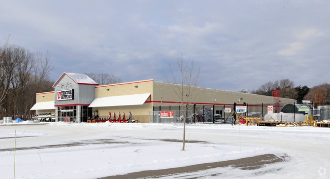
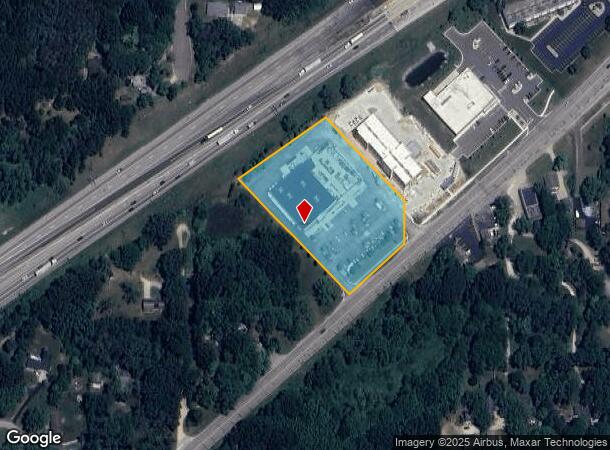
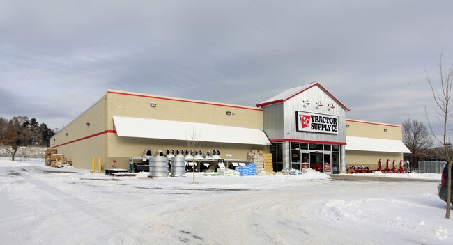
5180 Red Arrow Hwy, Stevensville, MI 49127
NEARBY LISTINGS FOR SALE OR LEASE
-
-
View all Stevensville listings for sale on LoopNet.com
Property Detail
5180 Red Arrow Hwy
11-12-0021-0009-14-0
SPLIT/COMBINED ON 10/11/2012 FROM 12-0021-0009-02-5, 12-0021-0009-04-1, 12-0021-0009-05-0; BEG 1305.16? S & 196.72? N54DEG35?24?E OF N1/4 COR SEC 21 T5S R19W TH N54DEG35?24?E 310.39? TH S42DEG00?38?E 347.30? TH S00DEG06?05?E 109.11? TH S47DEG59?22?W
Storemultistory
Berrien
X
Michigan
26021C0094D
3.09 AC
2024
Michigan Southwest Area
2025
Other Market Areas
001500
Niles-Benton Harbor, MI
18,966 SF
DEMOGRAPHICS near 5180 Red Arrow Hwy
1 Mile
3 Mile
5 Mile
2024 Total Population
3,094
16,254
28,091
2029 Population
3,056
15,950
27,421
Pop Growth 2024-2029
(1.23%)
(1.87%)
(2.39%)
Average Age
44
43
43
2024 Total Households
1,376
6,652
11,768
HH Growth 2024-2029
(1.31%)
(1.95%)
(2.52%)
Median Household Inc
$80,650
$90,932
$86,214
Avg Household Size
2.20
2.40
2.30
2024 Avg HH Vehicles
2.00
2.00
2.00
Median Home Value
$263,670
$264,187
$249,626
Median Year Built
1973
1974
1971
Nearby Places
Map Layers
Map Styles
 Street
 Aerial
- Restaurants
- Banks
- Shops
- Fitness
- Groceries
PUBLIC TRANSPORTATION
COMMUTER RAIL
St. Joseph-Benton Harbor Amtrak Station (Pere Marquette - Amtrak)
DRIVE
WALK
Distance
St. Joseph-Benton Harbor Amtrak Station (Pere Marquette - Amtrak)
12 min
7.1 mi
AIRPORT
South Bend International
DRIVE
WALK
Distance
South Bend International
51 min
34.7 mi
Freight Ports
Port Milwaukee
DRIVE
WALK
Distance
Port Milwaukee
211 min
174.7 mi
Nearby Properties
Address
Land Use
TOTAL SIZE
Lot Size
Zoning
Address
Land Use
TOTAL SIZE
Lot Size
Zoning
89.27 AC
LD
Address
Land Use
TOTAL SIZE
Lot Size
Zoning
28.55 AC
AG
Address
Land Use
TOTAL SIZE
Lot Size
Zoning
21,824 SF
21.15 AC
CR
Address
Land Use
TOTAL SIZE
Lot Size
Zoning
195,253 SF
25.72 AC
HC
Address
Land Use
TOTAL SIZE
Lot Size
Zoning
150,421 SF
10.30 AC
HD
Address
Land Use
TOTAL SIZE
Lot Size
Zoning
307.20 AC
AG
Address
Land Use
TOTAL SIZE
Lot Size
Zoning
58,580 SF
1.99 AC
HC
Address
Land Use
TOTAL SIZE
Lot Size
Zoning
403,396 SF
37.17 AC
HI
Address
Land Use
TOTAL SIZE
Lot Size
Zoning
54,750 SF
5.87 AC
CMU
Address
Land Use
TOTAL SIZE
Lot Size
Zoning
89,420 SF
7.89 AC
R3 - SINGL
Address
Land Use
TOTAL SIZE
Lot Size
Zoning
62,721 SF
16.85 AC
CMU
Address
Land Use
TOTAL SIZE
Lot Size
Zoning
49,162 SF
3.04 AC
HC
Address
Land Use
TOTAL SIZE
Lot Size
Zoning
0.99 AC
SELECTZONI
Address
Land Use
TOTAL SIZE
Lot Size
Zoning
121,500 SF
16.54 AC
I1
Address
Land Use
TOTAL SIZE
Lot Size
Zoning
128,076 SF
29.98 AC
LD
Address
Land Use
TOTAL SIZE
Lot Size
Zoning
55,682 SF
4.45 AC
HD
Address
Land Use
TOTAL SIZE
Lot Size
Zoning
19,110 SF
2.97 AC
CMU
Address
Land Use
TOTAL SIZE
Lot Size
Zoning
64,454 SF
4.72 AC
CMU
Address
Land Use
TOTAL SIZE
Lot Size
Zoning
29,932 SF
9.18 AC
CMU
Address
Land Use
TOTAL SIZE
Lot Size
Zoning
40,290 SF
1.65 AC
HC
Address
Land Use
TOTAL SIZE
Lot Size
Zoning
106,868 SF
R1
Address
Land Use
TOTAL SIZE
Lot Size
Zoning
19,908 SF
13 AC
CMU
Address
Land Use
TOTAL SIZE
Lot Size
Zoning
35,528 SF
2.76 AC
HC
Address
Land Use
TOTAL SIZE
Lot Size
Zoning
148,184 SF
19.20 AC
I1
Address
Land Use
TOTAL SIZE
Lot Size
Zoning
54,571 SF
5.64 AC
HD
Address
Land Use
TOTAL SIZE
Lot Size
Zoning
35,868 SF
2.15 AC
HC
Address
Land Use
TOTAL SIZE
Lot Size
Zoning
26,998 SF
6.35 AC
LD
Address
Land Use
TOTAL SIZE
Lot Size
Zoning
17,949 SF
6.29 AC
R5 - MUL F
Address
Land Use
TOTAL SIZE
Lot Size
Zoning
30,240 SF
10 AC
LD
Address
Land Use
TOTAL SIZE
Lot Size
Zoning
0.96 AC
LD
The World's #1 Commercial Real Estate Marketplace
Connect with us
© 2025 CoStar Group
The information above has been obtained from sources believed reliable. While we do not doubt its accuracy we have not verified it and make no guarantee, warranty or representation about it. It is your responsibility to independently confirm its accuracy and completeness. Any projections, opinions, assumptions, or estimates used are for example only and do not represent the current or future performance of the property. The value of this transaction to you depends on tax and other factors which should be evaluated by your tax, financial, and legal advisors. You and your advisors should conduct a careful, independent investigation of the property to determine to your satisfaction the suitability of the property for your needs.