Property Record
520 Prentice Rd, Vestal, NY 13850

NEARBY LISTINGS FOR SALE OR LEASE
Property Detail
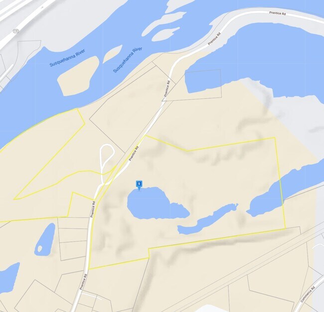
520 Prentice Rd
Binghamton, NY
017000005X0000000000
034800-142-004-0001-013-001-0000
Broome
Miningfacilityoilgasmineralpreciousmetals
New York
2025
13.001
2024
79.10 AC
014301
Broome County
8,296 SF
Syracuse
DEMOGRAPHICS near 520 Prentice Rd
1 Mile
3 Mile
5 Mile
2024 Total Population
2,809
58,944
118,527
2029 Population
2,782
57,760
116,178
Pop Growth 2024-2029
(0.96%)
(2.01%)
(1.98%)
Average Age
45
40
40
2024 Total Households
1,091
22,918
48,628
HH Growth 2024-2029
(1.19%)
(2.30%)
(2.21%)
Median Household Inc
$63,173
$52,724
$51,136
Avg Household Size
2.30
2.20
2.10
2024 Avg HH Vehicles
2.00
2.00
1.00
Median Home Value
$176,149
$143,890
$142,562
Median Year Built
1964
1956
1956
Nearby Places
Map Layers
Map Styles
 Street
 Aerial
- Restaurants
- Banks
- Shops
- Fitness
- Groceries
Nearby Properties
Address
Land Use
TOTAL SIZE
Lot Size
Zoning
Address
Land Use
TOTAL SIZE
Lot Size
Zoning
65,256 SF
579.06 AC
Address
Land Use
TOTAL SIZE
Lot Size
Zoning
Address
Land Use
TOTAL SIZE
Lot Size
Zoning
9,790 SF
11.23 AC
ID
Address
Land Use
TOTAL SIZE
Lot Size
Zoning
88,796 SF
20.04 AC
Address
Land Use
TOTAL SIZE
Lot Size
Zoning
203,306 SF
30.33 AC
C-2
Address
Land Use
TOTAL SIZE
Lot Size
Zoning
87,453 SF
6.77 AC
C-2
Address
Land Use
TOTAL SIZE
Lot Size
Zoning
68,845 SF
4.74 AC
C-2
Address
Land Use
TOTAL SIZE
Lot Size
Zoning
124,053 SF
7.63 AC
RC
Address
Land Use
TOTAL SIZE
Lot Size
Zoning
0.98 AC
RR
Address
Land Use
TOTAL SIZE
Lot Size
Zoning
206,537 SF
15.02 AC
C-2
Address
Land Use
TOTAL SIZE
Lot Size
Zoning
117,267 SF
17.65 AC
C-2
Address
Land Use
TOTAL SIZE
Lot Size
Zoning
203,296 SF
3.73 AC
Address
Land Use
TOTAL SIZE
Lot Size
Zoning
93,010 SF
12.32 AC
Address
Land Use
TOTAL SIZE
Lot Size
Zoning
126,000 SF
10.76 AC
C-2
Address
Land Use
TOTAL SIZE
Lot Size
Zoning
139,175 SF
13.43 AC
C-2
Address
Land Use
TOTAL SIZE
Lot Size
Zoning
135,382 SF
14.47 AC
Address
Land Use
TOTAL SIZE
Lot Size
Zoning
0.53 AC
RR
Address
Land Use
TOTAL SIZE
Lot Size
Zoning
68,546 SF
28.40 AC
Address
Land Use
TOTAL SIZE
Lot Size
Zoning
97,204 SF
1.45 AC
C-1
Address
Land Use
TOTAL SIZE
Lot Size
Zoning
87,842 SF
7.73 AC
C-2
Address
Land Use
TOTAL SIZE
Lot Size
Zoning
34,606 SF
4.10 AC
Address
Land Use
TOTAL SIZE
Lot Size
Zoning
97,087 SF
1.66 AC
C-2
Address
Land Use
TOTAL SIZE
Lot Size
Zoning
18,104 SF
9.94 AC
RC
Address
Land Use
TOTAL SIZE
Lot Size
Zoning
95,892 SF
1.18 AC
CD
Address
Land Use
TOTAL SIZE
Lot Size
Zoning
69,983 SF
10.29 AC
C-2
Address
Land Use
TOTAL SIZE
Lot Size
Zoning
Address
Land Use
TOTAL SIZE
Lot Size
Zoning
24,000 SF
12.77 AC
C-2
Address
Land Use
TOTAL SIZE
Lot Size
Zoning
95,842 SF
16.33 AC
I
Address
Land Use
TOTAL SIZE
Lot Size
Zoning
24,600 SF
8.75 AC
RC
Address
Land Use
TOTAL SIZE
Lot Size
Zoning
33,600 SF
7.16 AC
RC
The World's #1 Commercial Real Estate Marketplace
Connect with us
© 2026 CoStar Group
The information above has been obtained from sources believed reliable. While we do not doubt its accuracy we have not verified it and make no guarantee, warranty or representation about it. It is your responsibility to independently confirm its accuracy and completeness. Any projections, opinions, assumptions, or estimates used are for example only and do not represent the current or future performance of the property. The value of this transaction to you depends on tax and other factors which should be evaluated by your tax, financial, and legal advisors. You and your advisors should conduct a careful, independent investigation of the property to determine to your satisfaction the suitability of the property for your needs.