Property Record
5200 Laurel Ridge Dr, Sanford, NC 27332
NEARBY LISTINGS FOR SALE OR LEASE
-
-
View all Sanford listings for sale on LoopNet.com
Property Detail
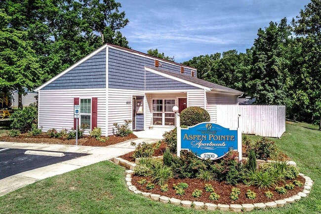
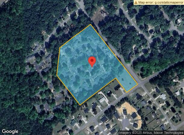
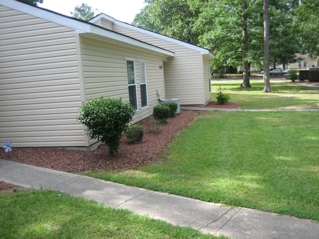
5200 Laurel Ridge Dr
Sanford, NC
Woodbridge Associates
9650-68-8382-00
5200 - 5346 LAUREL RIDGE DR PC 1/362 1445/640
Officebuilding
Lee
X
North Carolina
3710965000J
14
2025
8.83 AC
2025
North Carolina Southeast Area
030506
Other Market Areas
1,060 SF
DEMOGRAPHICS near 5200 Laurel Ridge Dr
1 Mile
3 Mile
5 Mile
2024 Total Population
1,575
15,745
37,132
2029 Population
1,735
17,139
40,424
Pop Growth 2024-2029
+ 10.16%
+ 8.85%
+ 8.87%
Average Age
37
39
38
2024 Total Households
631
6,193
14,236
HH Growth 2024-2029
+ 10.30%
+ 8.88%
+ 8.85%
Median Household Inc
$60,465
$57,012
$50,303
Avg Household Size
2.40
2.50
2.50
2024 Avg HH Vehicles
2.00
2.00
2.00
Median Home Value
$164,040
$166,556
$156,472
Median Year Built
1987
1987
1985
Nearby Places
Map Layers
Map Styles
 Street
 Aerial
- Restaurants
- Banks
- Shops
- Fitness
- Groceries
Nearby Properties
Address
Land Use
TOTAL SIZE
Lot Size
Zoning
Address
Land Use
TOTAL SIZE
Lot Size
Zoning
132,378 SF
62.08 AC
OFFICE & I
Address
Land Use
TOTAL SIZE
Lot Size
Zoning
62,586 SF
15.62 AC
03
Address
Land Use
TOTAL SIZE
Lot Size
Zoning
110,974 SF
23.30 AC
C-2
Address
Land Use
TOTAL SIZE
Lot Size
Zoning
62,586 SF
15.62 AC
CZ
Address
Land Use
TOTAL SIZE
Lot Size
Zoning
205,355 SF
25.30 AC
SSCZD
Address
Land Use
TOTAL SIZE
Lot Size
Zoning
175,127 SF
22.86 AC
C-2
Address
Land Use
TOTAL SIZE
Lot Size
Zoning
19,312 SF
22.98 AC
CZ
Address
Land Use
TOTAL SIZE
Lot Size
Zoning
2,442 SF
121.09 AC
LIGHT INDU
Address
Land Use
TOTAL SIZE
Lot Size
Zoning
50,700 SF
6.04 AC
SSCZD
Address
Land Use
TOTAL SIZE
Lot Size
Zoning
71,295 SF
30.02 AC
OFFICE & I
Address
Land Use
TOTAL SIZE
Lot Size
Zoning
185,736 SF
32.70 AC
LIGHT INDU
Address
Land Use
TOTAL SIZE
Lot Size
Zoning
179,320 SF
9.70 AC
LIGHT INDU
Address
Land Use
TOTAL SIZE
Lot Size
Zoning
1,904 SF
101.48 AC
LIGHT INDU
Address
Land Use
TOTAL SIZE
Lot Size
Zoning
117,984 SF
12.57 AC
C2
Address
Land Use
TOTAL SIZE
Lot Size
Zoning
55,588 SF
7.28 AC
C-2
Address
Land Use
TOTAL SIZE
Lot Size
Zoning
88,992 SF
6.55 AC
C2
Address
Land Use
TOTAL SIZE
Lot Size
Zoning
15,720 SF
5.35 AC
OFFICE & I
Address
Land Use
TOTAL SIZE
Lot Size
Zoning
21,324 SF
7.09 AC
C2
Address
Land Use
TOTAL SIZE
Lot Size
Zoning
23,593 SF
6.25 AC
C2
Address
Land Use
TOTAL SIZE
Lot Size
Zoning
50,200 SF
8.02 AC
C-2
Address
Land Use
TOTAL SIZE
Lot Size
Zoning
14,292 SF
8.71 AC
LIGHT INDU
Address
Land Use
TOTAL SIZE
Lot Size
Zoning
18,790 SF
4.76 AC
C2
Address
Land Use
TOTAL SIZE
Lot Size
Zoning
44,904 SF
5.28 AC
C2
Address
Land Use
TOTAL SIZE
Lot Size
Zoning
130,196 SF
45.96 AC
LIGHT INDU
Address
Land Use
TOTAL SIZE
Lot Size
Zoning
124,858 SF
24.32 AC
LIGHT INDU
Address
Land Use
TOTAL SIZE
Lot Size
Zoning
37,718 SF
2 AC
C2
Address
Land Use
TOTAL SIZE
Lot Size
Zoning
105,772 SF
5.92 AC
LIGHT INDU
Address
Land Use
TOTAL SIZE
Lot Size
Zoning
19,268 SF
5.06 AC
C2
Address
Land Use
TOTAL SIZE
Lot Size
Zoning
338,850 SF
22.92 AC
LIGHT INDU
Address
Land Use
TOTAL SIZE
Lot Size
Zoning
112,284 SF
25.87 AC
LIGHT INDU
The World's #1 Commercial Real Estate Marketplace
Connect with us
© 2026 CoStar Group
The information above has been obtained from sources believed reliable. While we do not doubt its accuracy we have not verified it and make no guarantee, warranty or representation about it. It is your responsibility to independently confirm its accuracy and completeness. Any projections, opinions, assumptions, or estimates used are for example only and do not represent the current or future performance of the property. The value of this transaction to you depends on tax and other factors which should be evaluated by your tax, financial, and legal advisors. You and your advisors should conduct a careful, independent investigation of the property to determine to your satisfaction the suitability of the property for your needs.