Property Record
5200 Summit Ridge Dr, Reno, NV 89523
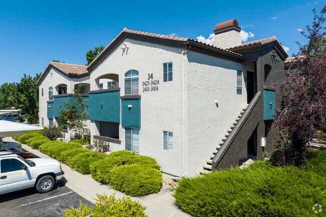

Property Detail
5200 Summit Ridge Dr
039-170-36
RS 4494 LT B
Multifamilydwelling
Washoe
MF14
Nevada
B and X Area of moderate flood hazard, usually the area between the limits of the 100-year and 500-year floods.
b
2025
54.37 AC
2026
Outer West Reno
001201
Reno/Sparks
477,926 SF
Reno, NV
NEARBY LISTINGS FOR SALE OR LEASE
DEMOGRAPHICS near 5200 Summit Ridge Dr
1 mile
3 mile
5 mile
2025 Total Population
13,417
84,244
175,822
2030 Population
13,869
86,272
180,113
Pop Growth 2025-2030
+ 3.37%
+ 2.41%
+ 2.44%
Average Age
39
41
40
2025 Total Households
5,650
36,703
74,745
HH Growth 2025-2030
+ 3.31%
+ 2.47%
+ 2.53%
Median Household Inc
$77,424
$85,680
$71,365
Avg Household Size
2.30
2.20
2.20
2025 Avg HH Vehicles
2.00
2.00
2.00
Median Home Value
$621,804
$658,590
$615,026
Median Year Built
1993
1987
1985
Nearby Places
Map Layers
Map Styles
 Street
 Aerial
Layers
 Traffic
 Biking
Places
Listings with unknown addresses are not visible on the map
- Restaurants
- Banks
- Shops
- Fitness
- Groceries
PUBLIC TRANSPORTATION
COMMUTER RAIL
Reno (California Zephyr - Amtrak)
Drive
Walk
Distance
Reno (California Zephyr - Amtrak)
9 min
4.2 mi
AIRPORT
Reno/Tahoe International
Drive
Walk
Distance
Reno/Tahoe International
31 min
10.7 mi
Freight Ports
Port of Stockton
Drive
Walk
Distance
Port of Stockton
206 min
177.1 mi
Nearby Properties
Address
Land Use
TOTAL SIZE
Lot Size
Zoning
Address
Land Use
TOTAL SIZE
Lot Size
Zoning
120.45 AC
PF
Address
Land Use
TOTAL SIZE
Lot Size
Zoning
1,865,345 SF
2.75 AC
MD-ED
Address
Land Use
TOTAL SIZE
Lot Size
Zoning
55,187 SF
116.12 AC
GC
Address
Land Use
TOTAL SIZE
Lot Size
Zoning
378,145 SF
27.36 AC
PD
Address
Land Use
TOTAL SIZE
Lot Size
Zoning
460,367 SF
1.52 AC
MD-ED
Address
Land Use
TOTAL SIZE
Lot Size
Zoning
396,810 SF
16.21 AC
PD
Address
Land Use
TOTAL SIZE
Lot Size
Zoning
189,861 SF
1.69 AC
MD-NWQ
Address
Land Use
TOTAL SIZE
Lot Size
Zoning
306,626 SF
17.61 AC
MF14 44% /
Address
Land Use
TOTAL SIZE
Lot Size
Zoning
331,462 SF
20.10 AC
PD
Address
Land Use
TOTAL SIZE
Lot Size
Zoning
587,380 SF
2.59 AC
MD-ED
Address
Land Use
TOTAL SIZE
Lot Size
Zoning
257,400 SF
2.71 AC
MD-ED
Address
Land Use
TOTAL SIZE
Lot Size
Zoning
434,002 SF
7.64 AC
MD-NWQ
Address
Land Use
TOTAL SIZE
Lot Size
Zoning
194,000 SF
2.24 AC
MD-RD
Address
Land Use
TOTAL SIZE
Lot Size
Zoning
283,243 SF
2.02 AC
MD-UD
Address
Land Use
TOTAL SIZE
Lot Size
Zoning
304,344 SF
10.24 AC
GC
Address
Land Use
TOTAL SIZE
Lot Size
Zoning
109,936 SF
1.80 AC
MD-RD
Address
Land Use
TOTAL SIZE
Lot Size
Zoning
125,324 SF
2.06 AC
MD-NWQ
Address
Land Use
TOTAL SIZE
Lot Size
Zoning
317,507 SF
19.43 AC
MF14
Address
Land Use
TOTAL SIZE
Lot Size
Zoning
305,060 SF
23.90 AC
SPD
Address
Land Use
TOTAL SIZE
Lot Size
Zoning
573,331 SF
6.52 AC
MD-ED
Address
Land Use
TOTAL SIZE
Lot Size
Zoning
272,580 SF
18.90 AC
MF21
Address
Land Use
TOTAL SIZE
Lot Size
Zoning
613,385 SF
1.28 AC
MD-ED
Address
Land Use
TOTAL SIZE
Lot Size
Zoning
260,382 SF
18.77 AC
PD
Address
Land Use
TOTAL SIZE
Lot Size
Zoning
303,512 SF
20.60 AC
MF30
Address
Land Use
TOTAL SIZE
Lot Size
Zoning
293,364 SF
21.87 AC
MF14
Address
Land Use
TOTAL SIZE
Lot Size
Zoning
182,838 SF
8.02 AC
MS
Address
Land Use
TOTAL SIZE
Lot Size
Zoning
254,180 SF
15.99 AC
MF14
Address
Land Use
TOTAL SIZE
Lot Size
Zoning
154,655 SF
2.08 AC
MD-NWQ
Address
Land Use
TOTAL SIZE
Lot Size
Zoning
159,803 SF
0.60 AC
MD-RD
The World's #1 Commercial Real Estate Marketplace
Connect with us
© 2026 CoStar Group
The information above has been obtained from sources believed reliable. While we do not doubt its accuracy we have not verified it and make no guarantee, warranty or representation about it. It is your responsibility to independently confirm its accuracy and completeness. Any projections, opinions, assumptions, or estimates used are for example only and do not represent the current or future performance of the property. The value of this transaction to you depends on tax and other factors which should be evaluated by your tax, financial, and legal advisors. You and your advisors should conduct a careful, independent investigation of the property to determine to your satisfaction the suitability of the property for your needs.