Property Record
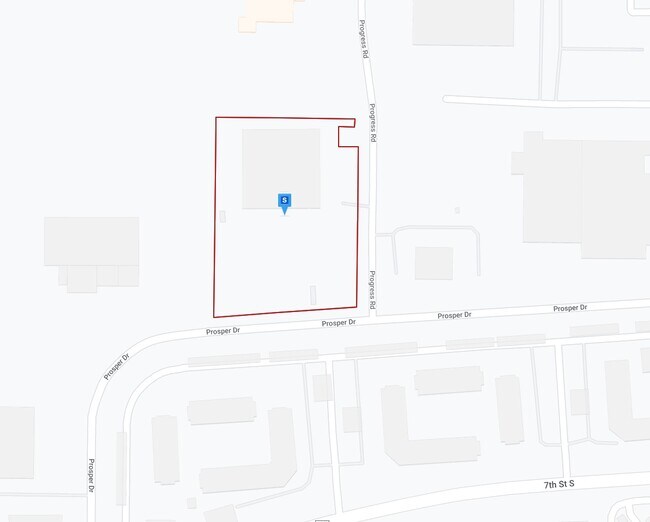
525 Progress Rd, Waite Park, MN 56387


Property Detail
525 Progress Rd
St. Cloud, MN
LOT 009 BLK 001 SUNDIAL WEST INDUSTRIAL PARK SECTION 20 TOWNSHIP 124 RANGE 028 SECTION 20 TOWNSHIP 124 RANGE 028
98.60865.0008
Stearns
Carwash
Minnesota
B and X Area of moderate flood hazard, usually the area between the limits of the 100-year and 500-year floods.
9
2026
3.93 AC
2025
Stearns County
000502
Minneapolis/St Paul
40,000 SF
NEARBY LISTINGS FOR SALE OR LEASE
DEMOGRAPHICS near 525 Progress Rd
1 mile
3 mile
5 mile
2025 Total Population
6,994
35,714
93,821
2030 Population
7,421
37,232
97,407
Pop Growth 2025-2030
+ 6.11%
+ 4.25%
+ 3.82%
Average Age
37
39
37
2025 Total Households
2,916
14,856
36,760
HH Growth 2025-2030
+ 5.97%
+ 4.25%
+ 3.94%
Median Household Inc
$59,651
$67,991
$65,430
Avg Household Size
2.30
2.30
2.30
2025 Avg HH Vehicles
2.00
2.00
2.00
Median Home Value
$268,601
$243,332
$242,681
Median Year Built
1995
1988
1984
Nearby Places
Map Layers
Map Styles
 Street
 Aerial
Layers
 Traffic
 Biking
Places
Listings with unknown addresses are not visible on the map
- Restaurants
- Banks
- Shops
- Fitness
- Groceries
PUBLIC TRANSPORTATION
COMMUTER RAIL
Drive
Walk
Distance
13 min
5.8 mi
SALE & LEASE HISTORY
LISTING DATE
SALE/LEASE

Sep 25, 2016
For Lease
Sep 24, 2016
For Sale
Jun 17, 2019
For Sale
Jul 14, 2020
For Lease
Jul 14, 2020
For Sale
Nearby Properties
Address
Land Use
TOTAL SIZE
Lot Size
Zoning
Address
Land Use
TOTAL SIZE
Lot Size
Zoning
307,404 SF
105.31 AC
Address
Land Use
TOTAL SIZE
Lot Size
Zoning
38.97 AC
Address
Land Use
TOTAL SIZE
Lot Size
Zoning
639,000 SF
216.67 AC
PUD28
Address
Land Use
TOTAL SIZE
Lot Size
Zoning
113,316 SF
31.99 AC
Address
Land Use
TOTAL SIZE
Lot Size
Zoning
52,983 SF
22 AC
Address
Land Use
TOTAL SIZE
Lot Size
Zoning
70,971 SF
11.40 AC
PUD57
Address
Land Use
TOTAL SIZE
Lot Size
Zoning
19.06 AC
Address
Land Use
TOTAL SIZE
Lot Size
Zoning
125,278 SF
11.01 AC
C5
Address
Land Use
TOTAL SIZE
Lot Size
Zoning
344,031 SF
64.88 AC
PUD28
Address
Land Use
TOTAL SIZE
Lot Size
Zoning
628,000 SF
40.51 AC
PUD16
Address
Land Use
TOTAL SIZE
Lot Size
Zoning
115,298 SF
8.50 AC
R5
Address
Land Use
TOTAL SIZE
Lot Size
Zoning
5.34 AC
Address
Land Use
TOTAL SIZE
Lot Size
Zoning
233,354 SF
7.30 AC
R5
Address
Land Use
TOTAL SIZE
Lot Size
Zoning
113,268 SF
12 AC
PUD32
Address
Land Use
TOTAL SIZE
Lot Size
Zoning
19.83 AC
Address
Land Use
TOTAL SIZE
Lot Size
Zoning
146,285 SF
19.10 AC
Address
Land Use
TOTAL SIZE
Lot Size
Zoning
51.70 AC
PL20B2
Address
Land Use
TOTAL SIZE
Lot Size
Zoning
555,652 SF
26.04 AC
PUD16
Address
Land Use
TOTAL SIZE
Lot Size
Zoning
83,317 SF
6.43 AC
C5
Address
Land Use
TOTAL SIZE
Lot Size
Zoning
289,470 SF
23 AC
I3
Address
Land Use
TOTAL SIZE
Lot Size
Zoning
44,223 SF
12.31 AC
Address
Land Use
TOTAL SIZE
Lot Size
Zoning
135,964 SF
57.06 AC
PUD28
Address
Land Use
TOTAL SIZE
Lot Size
Zoning
288,861 SF
30.27 AC
I3
Address
Land Use
TOTAL SIZE
Lot Size
Zoning
165,878 SF
11.17 AC
PUD56
Address
Land Use
TOTAL SIZE
Lot Size
Zoning
7.70 AC
Address
Land Use
TOTAL SIZE
Lot Size
Zoning
11,700 SF
71.99 AC
Address
Land Use
TOTAL SIZE
Lot Size
Zoning
158,758 SF
18.58 AC
C5
Address
Land Use
TOTAL SIZE
Lot Size
Zoning
157,351 SF
14.16 AC
C5
Address
Land Use
TOTAL SIZE
Lot Size
Zoning
9,448 SF
5.10 AC
The World's #1 Commercial Real Estate Marketplace
Connect with us
© 2026 CoStar Group
The information above has been obtained from sources believed reliable. While we do not doubt its accuracy we have not verified it and make no guarantee, warranty or representation about it. It is your responsibility to independently confirm its accuracy and completeness. Any projections, opinions, assumptions, or estimates used are for example only and do not represent the current or future performance of the property. The value of this transaction to you depends on tax and other factors which should be evaluated by your tax, financial, and legal advisors. You and your advisors should conduct a careful, independent investigation of the property to determine to your satisfaction the suitability of the property for your needs.