Property Record
5294 Baxter Rd, Cherry Valley, IL 61016
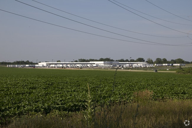

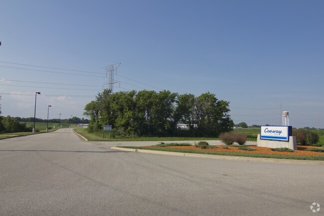
Property Detail
5294 Baxter Rd
16-28-300-025
ROCK 39 UNIT ONE SUB PT S1/2 SEC 28-43-2 THAT PT IN ROCKFORD TWSP (EXC THATPT TO COUNTY BY 09-37669 & 2015-1018577) PT LT 1 20.95A(C)
Industrialgeneral
WINNEBAGO
IG
Illinois
B and X Area of moderate flood hazard, usually the area between the limits of the 100-year and 500-year floods.
1,20
2024
20.95 AC
2024
I-39 Cor/Winnebago Cy
003705
Chicago
53,130 SF
Rockford, IL
NEARBY LISTINGS FOR SALE OR LEASE
DEMOGRAPHICS near 5294 Baxter Rd
1 mile
3 mile
5 mile
2025 Total Population
96
4,911
26,720
2030 Population
94
4,885
26,628
Pop Growth 2025-2030
(2.08%)
(0.53%)
(0.34%)
Average Age
48
43
41
2025 Total Households
38
2,175
10,936
HH Growth 2025-2030
(2.63%)
(0.37%)
(0.26%)
Median Household Inc
$71,666
$75,100
$70,669
Avg Household Size
2.50
2.20
2.40
2025 Avg HH Vehicles
3.00
2.00
2.00
Median Home Value
$269,999
$179,693
$157,961
Median Year Built
1975
1977
1976
Nearby Places
Map Layers
Map Styles
 Street
 Aerial
Transit
 Traffic
 Biking
Places
Listings with unknown addresses are not visible on the map
- Restaurants
- Banks
- Shops
- Fitness
- Groceries
PUBLIC TRANSPORTATION
AIRPORT
Chicago/Rockford International
Drive
Walk
Distance
Chicago/Rockford International
18 min
6.4 mi
Nearby Properties
Address
Land Use
TOTAL SIZE
Lot Size
Zoning
Address
Land Use
TOTAL SIZE
Lot Size
Zoning
675,270 SF
40.29 AC
Address
Land Use
TOTAL SIZE
Lot Size
Zoning
351,935 SF
21.26 AC
Address
Land Use
TOTAL SIZE
Lot Size
Zoning
187,215 SF
19.20 AC
Address
Land Use
TOTAL SIZE
Lot Size
Zoning
141,293 SF
37.74 AC
IG
Address
Land Use
TOTAL SIZE
Lot Size
Zoning
13,650 SF
20.45 AC
IL
Address
Land Use
TOTAL SIZE
Lot Size
Zoning
51,815 SF
7.81 AC
IL
Address
Land Use
TOTAL SIZE
Lot Size
Zoning
15,488 SF
35.60 AC
IH
Address
Land Use
TOTAL SIZE
Lot Size
Zoning
21,492 SF
14.24 AC
AG
Address
Land Use
TOTAL SIZE
Lot Size
Zoning
13,284 SF
66.81 AC
AG
Address
Land Use
TOTAL SIZE
Lot Size
Zoning
3,024 SF
154.92 AC
Address
Land Use
TOTAL SIZE
Lot Size
Zoning
7,558 SF
23.86 AC
AG
Address
Land Use
TOTAL SIZE
Lot Size
Zoning
20,994 SF
2.98 AC
IL
Address
Land Use
TOTAL SIZE
Lot Size
Zoning
5,402 SF
10.36 AC
AG
Address
Land Use
TOTAL SIZE
Lot Size
Zoning
4,916 SF
26.55 AC
AG
Address
Land Use
TOTAL SIZE
Lot Size
Zoning
8,570 SF
72.67 AC
MX
Address
Land Use
TOTAL SIZE
Lot Size
Zoning
3,916 SF
160 AC
AG
Address
Land Use
TOTAL SIZE
Lot Size
Zoning
5.01 AC
Address
Land Use
TOTAL SIZE
Lot Size
Zoning
26,319 SF
7.88 AC
AG
Address
Land Use
TOTAL SIZE
Lot Size
Zoning
18,232 SF
5 AC
IH
Address
Land Use
TOTAL SIZE
Lot Size
Zoning
4,402 SF
12.10 AC
AG
Address
Land Use
TOTAL SIZE
Lot Size
Zoning
7,520 SF
13.36 AC
AG
Address
Land Use
TOTAL SIZE
Lot Size
Zoning
13,932 SF
0.89 AC
R3
Address
Land Use
TOTAL SIZE
Lot Size
Zoning
13,932 SF
0.82 AC
R3
Address
Land Use
TOTAL SIZE
Lot Size
Zoning
11,937 SF
0.78 AC
R3
Address
Land Use
TOTAL SIZE
Lot Size
Zoning
11,937 SF
0.77 AC
R3
Address
Land Use
TOTAL SIZE
Lot Size
Zoning
61.14 AC
AG
Address
Land Use
TOTAL SIZE
Lot Size
Zoning
6,749 SF
6 AC
RA
Address
Land Use
TOTAL SIZE
Lot Size
Zoning
11,937 SF
0.50 AC
R3
Address
Land Use
TOTAL SIZE
Lot Size
Zoning
3,913 SF
159.02 AC
AG
The World's #1 Commercial Real Estate Marketplace
Connect with us
© 2026 CoStar Group
The information above has been obtained from sources believed reliable. While we do not doubt its accuracy we have not verified it and make no guarantee, warranty or representation about it. It is your responsibility to independently confirm its accuracy and completeness. Any projections, opinions, assumptions, or estimates used are for example only and do not represent the current or future performance of the property. The value of this transaction to you depends on tax and other factors which should be evaluated by your tax, financial, and legal advisors. You and your advisors should conduct a careful, independent investigation of the property to determine to your satisfaction the suitability of the property for your needs.