Property Record
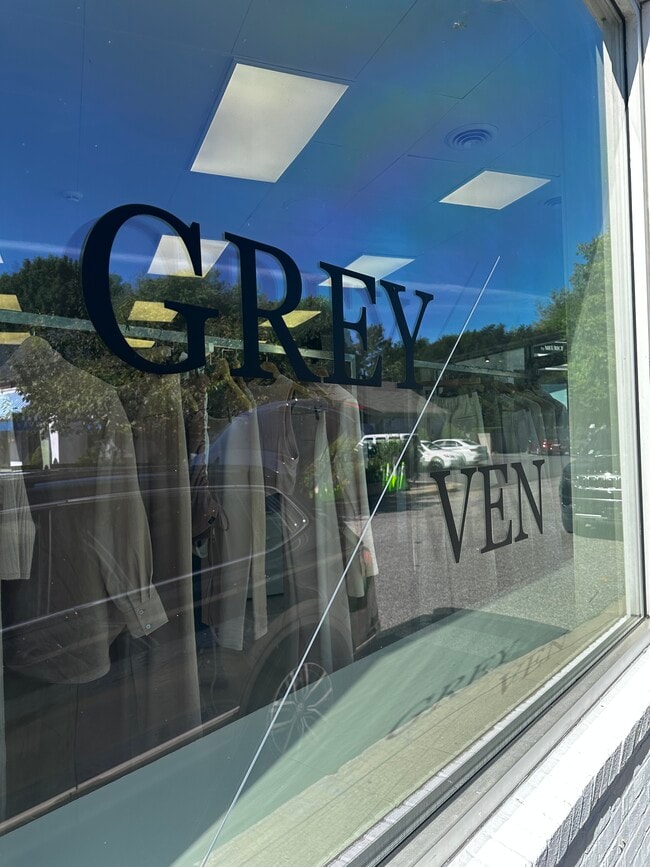
57 Main St, East Hampton, NY 11937

This Property Is For Sale
Current Lease Availabilities
NEARBY LISTINGS FOR SALE OR LEASE
Property Detail
57 Main St
Nassau County-Suffolk County, NY
Old Barn Dev Corp
0301-003-01-02-00-002-000
BLK LOT UNIT B
Townhouserowhouse
Suffolk
X
New York
36103C0558H
2
2024
0.04 AC
2024
Eastern Suffolk
200901
Long Island (New York)
DEMOGRAPHICS near 57 Main St
1 mile
3 mile
5 mile
2024 Total Population
4,054
16,443
29,180
2029 Population
4,310
17,339
30,561
Pop Growth 2024-2029
+ 6.31%
+ 5.45%
+ 4.73%
Average Age
46
44
44
2024 Total Households
1,634
6,335
11,168
HH Growth 2024-2029
+ 6.67%
+ 5.62%
+ 4.82%
Median Household Inc
$114,166
$125,623
$130,176
Avg Household Size
2.50
2.60
2.60
2024 Avg HH Vehicles
2.00
2.00
2.00
Median Home Value
$1,109,105
$1,049,059
$1,004,537
Median Year Built
1965
1979
1981
Nearby Places
Map Layers
Map Styles
 Street
 Aerial
Transit
 Traffic
 Biking
Places
Listings with unknown addresses are not visible on the map
- Restaurants
- Banks
- Shops
- Fitness
- Groceries
PUBLIC TRANSPORTATION
TRANSIT/SUBWAY
East Hampton Station (Montauk Branch - Long Island Rail Road)
Drive
Walk
Distance
East Hampton Station (Montauk Branch - Long Island Rail Road)
2 min
11 min
0.5 mi
COMMUTER RAIL
East Hampton Station (Montauk Branch - Long Island Rail Road)
Drive
Walk
Distance
East Hampton Station (Montauk Branch - Long Island Rail Road)
2 min
9 min
0.5 mi
Amagansett Station (Montauk Branch - Long Island Rail Road)
Drive
Walk
Distance
Amagansett Station (Montauk Branch - Long Island Rail Road)
8 min
3.3 mi
Freight Ports
Port of New Haven
Drive
Walk
Distance
Port of New Haven
199 min
89.1 mi
Nearby Properties
Address
Land Use
TOTAL SIZE
Lot Size
Zoning
Address
Land Use
TOTAL SIZE
Lot Size
Zoning
9,080 SF
2.99 AC
R120
Address
Land Use
TOTAL SIZE
Lot Size
Zoning
7,052 SF
2.16 AC
R120
Address
Land Use
TOTAL SIZE
Lot Size
Zoning
3,872 SF
1.52 AC
R120
Address
Land Use
TOTAL SIZE
Lot Size
Zoning
2,340 SF
0.70 AC
R120
Address
Land Use
TOTAL SIZE
Lot Size
Zoning
2,112 SF
0.33 AC
R120
Address
Land Use
TOTAL SIZE
Lot Size
Zoning
2,240 SF
19.46 AC
R40
Address
Land Use
TOTAL SIZE
Lot Size
Zoning
4,353 SF
1 AC
CR80
Address
Land Use
TOTAL SIZE
Lot Size
Zoning
5,349 SF
0.87 AC
VILLA
Address
Land Use
TOTAL SIZE
Lot Size
Zoning
3,920 SF
0.84 AC
VILLA
Address
Land Use
TOTAL SIZE
Lot Size
Zoning
2,122 SF
0.48 AC
VILLA
Address
Land Use
TOTAL SIZE
Lot Size
Zoning
1.12 AC
VILLA
Address
Land Use
TOTAL SIZE
Lot Size
Zoning
4,639 SF
0.47 AC
VILLA
Address
Land Use
TOTAL SIZE
Lot Size
Zoning
3,516 SF
0.37 AC
R20
Address
Land Use
TOTAL SIZE
Lot Size
Zoning
4,058 SF
1.02 AC
R15
Address
Land Use
TOTAL SIZE
Lot Size
Zoning
3,337 SF
1.90 AC
VILLA
Address
Land Use
TOTAL SIZE
Lot Size
Zoning
3,508 SF
1.27 AC
VILLA
Address
Land Use
TOTAL SIZE
Lot Size
Zoning
3,160 SF
5 AC
CR200
Address
Land Use
TOTAL SIZE
Lot Size
Zoning
2,451 SF
1.09 AC
VILLA
Address
Land Use
TOTAL SIZE
Lot Size
Zoning
2,164 SF
0.49 AC
VILLA
Address
Land Use
TOTAL SIZE
Lot Size
Zoning
3,558 SF
2.23 AC
R40
Address
Land Use
TOTAL SIZE
Lot Size
Zoning
2,246 SF
1 AC
VILLA
Address
Land Use
TOTAL SIZE
Lot Size
Zoning
4,132 SF
1.08 AC
R40
Address
Land Use
TOTAL SIZE
Lot Size
Zoning
2,467 SF
1.11 AC
R40
Address
Land Use
TOTAL SIZE
Lot Size
Zoning
3,303 SF
1.58 AC
R40
Address
Land Use
TOTAL SIZE
Lot Size
Zoning
3,298 SF
0.18 AC
VILLA
Address
Land Use
TOTAL SIZE
Lot Size
Zoning
1,772 SF
1 AC
VILLA
Address
Land Use
TOTAL SIZE
Lot Size
Zoning
3,352 SF
1.08 AC
R40
Address
Land Use
TOTAL SIZE
Lot Size
Zoning
4,718 SF
1.09 AC
R20
Address
Land Use
TOTAL SIZE
Lot Size
Zoning
1,408 SF
1.18 AC
CR200
Address
Land Use
TOTAL SIZE
Lot Size
Zoning
1,704 SF
0.42 AC
R20
The World's #1 Commercial Real Estate Marketplace
Connect with us
© 2026 CoStar Group
The information above has been obtained from sources believed reliable. While we do not doubt its accuracy we have not verified it and make no guarantee, warranty or representation about it. It is your responsibility to independently confirm its accuracy and completeness. Any projections, opinions, assumptions, or estimates used are for example only and do not represent the current or future performance of the property. The value of this transaction to you depends on tax and other factors which should be evaluated by your tax, financial, and legal advisors. You and your advisors should conduct a careful, independent investigation of the property to determine to your satisfaction the suitability of the property for your needs.