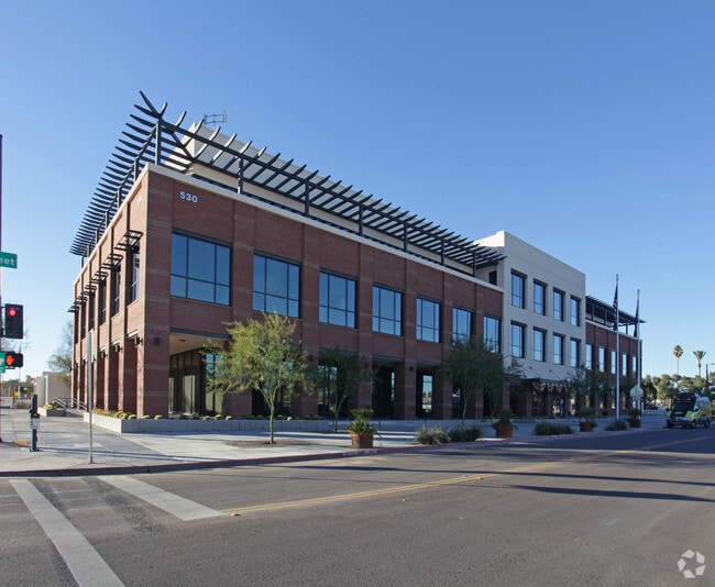
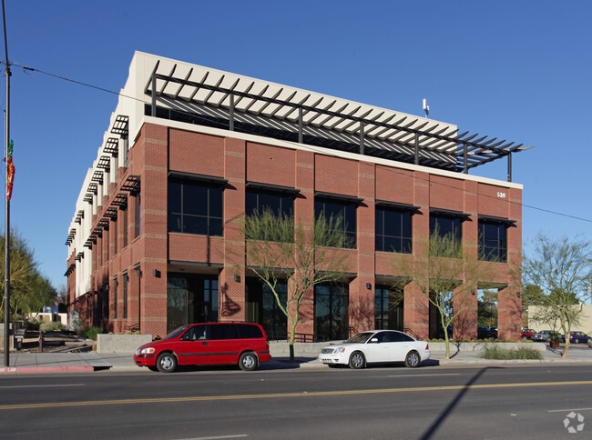
Property Record
530 E Monroe Ave, Buckeye, AZ 85326
Property Detail
530 E Monroe Ave
Phoenix
CENTRAL BUCKEYE VARIOUS LOTS REPLAT MCR 1234-44
Phoenix-Mesa-Chandler, AZ
MARICOPA
504-24-948C
Arizona
Farms
1
2025
174.17 AC
2025
Southwest Outlying
050702
NEARBY LISTINGS FOR SALE OR LEASE
-
-
View all Buckeye listings for sale on LoopNet.com
DEMOGRAPHICS near 530 E Monroe Ave
1 mile
3 mile
5 mile
2025 Total Population
8,670
29,458
48,123
2030 Population
9,105
31,350
51,206
Pop Growth 2025-2030
+ 5.02%
+ 6.42%
+ 6.41%
Average Age
36
34
34
2025 Total Households
2,807
8,802
14,258
HH Growth 2025-2030
+ 4.95%
+ 6.46%
+ 6.52%
Median Household Inc
$66,924
$87,157
$89,063
Avg Household Size
3.00
3.30
3.30
2025 Avg HH Vehicles
2.00
2.00
2.00
Median Home Value
$336,783
$361,347
$366,614
Median Year Built
2000
2007
2008
Nearby Places
Map Layers
Map Styles
 Street
 Aerial
Transit
 Traffic
 Biking
Places
Listings with unknown addresses are not visible on the map
- Restaurants
- Banks
- Shops
- Fitness
- Groceries
Nearby Properties
Address
Land Use
TOTAL SIZE
Lot Size
Zoning
Address
Land Use
TOTAL SIZE
Lot Size
Zoning
2,310,631 SF
215.58 AC
Address
Land Use
TOTAL SIZE
Lot Size
Zoning
1,207,360 SF
67.69 AC
Address
Land Use
TOTAL SIZE
Lot Size
Zoning
13.35 AC
Address
Land Use
TOTAL SIZE
Lot Size
Zoning
862,622 SF
75.39 AC
GC
Address
Land Use
TOTAL SIZE
Lot Size
Zoning
1,834,456 SF
142.44 AC
C-G
Address
Land Use
TOTAL SIZE
Lot Size
Zoning
11.14 AC
Address
Land Use
TOTAL SIZE
Lot Size
Zoning
18.64 AC
Address
Land Use
TOTAL SIZE
Lot Size
Zoning
510,427 SF
64.69 AC
GC
Address
Land Use
TOTAL SIZE
Lot Size
Zoning
290,752 SF
21.32 AC
SU
Address
Land Use
TOTAL SIZE
Lot Size
Zoning
269,665 SF
54.66 AC
PC
Address
Land Use
TOTAL SIZE
Lot Size
Zoning
13.06 AC
Address
Land Use
TOTAL SIZE
Lot Size
Zoning
326,103 SF
21.54 AC
Address
Land Use
TOTAL SIZE
Lot Size
Zoning
217,965 SF
23.03 AC
PAD
Address
Land Use
TOTAL SIZE
Lot Size
Zoning
93,337 SF
15.37 AC
PC
Address
Land Use
TOTAL SIZE
Lot Size
Zoning
78,774 SF
7.57 AC
PUD
Address
Land Use
TOTAL SIZE
Lot Size
Zoning
108,818 SF
10.65 AC
C-C
Address
Land Use
TOTAL SIZE
Lot Size
Zoning
78,165 SF
15.81 AC
PUD
Address
Land Use
TOTAL SIZE
Lot Size
Zoning
858,000 SF
69.08 AC
GC
Address
Land Use
TOTAL SIZE
Lot Size
Zoning
138,134 SF
13.14 AC
PAD
Address
Land Use
TOTAL SIZE
Lot Size
Zoning
72,254 SF
13.66 AC
PAD
Address
Land Use
TOTAL SIZE
Lot Size
Zoning
3.34 AC
Address
Land Use
TOTAL SIZE
Lot Size
Zoning
75,026 SF
14.07 AC
PAD
Address
Land Use
TOTAL SIZE
Lot Size
Zoning
57,950 SF
9.89 AC
PAD
Address
Land Use
TOTAL SIZE
Lot Size
Zoning
85,712 SF
15.18 AC
PR
Address
Land Use
TOTAL SIZE
Lot Size
Zoning
60,201 SF
14.10 AC
PUD
Address
Land Use
TOTAL SIZE
Lot Size
Zoning
102,640 SF
3.73 AC
PC
Address
Land Use
TOTAL SIZE
Lot Size
Zoning
125,120 SF
8.49 AC
SU
Address
Land Use
TOTAL SIZE
Lot Size
Zoning
40,104 SF
4.75 AC
PAD
Address
Land Use
TOTAL SIZE
Lot Size
Zoning
181,308 SF
20.19 AC
C-G
The World's #1 Commercial Real Estate Marketplace
Connect with us
© 2026 CoStar Group
The information above has been obtained from sources believed reliable. While we do not doubt its accuracy we have not verified it and make no guarantee, warranty or representation about it. It is your responsibility to independently confirm its accuracy and completeness. Any projections, opinions, assumptions, or estimates used are for example only and do not represent the current or future performance of the property. The value of this transaction to you depends on tax and other factors which should be evaluated by your tax, financial, and legal advisors. You and your advisors should conduct a careful, independent investigation of the property to determine to your satisfaction the suitability of the property for your needs.