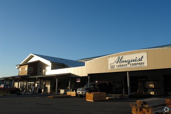
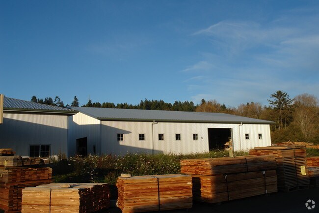
Property Record
5301 Boyd Rd, Arcata, CA 95521

Property Detail
5301 Boyd Rd
507-261-012-000
0600600615C080586C 6A C 00083X 620007B C
Storebuilding
Humboldt
ML
California
B and X Area of moderate flood hazard, usually the area between the limits of the 100-year and 500-year floods.
5.57 AC
2024
Eureka/Crescent City
2025
Other Market Areas
001200
Eureka-Arcata, CA
NEARBY LISTINGS FOR SALE OR LEASE
-
-
View all Arcata listings for sale on LoopNet.com
DEMOGRAPHICS near 5301 Boyd Rd
1 mile
3 mile
5 mile
2025 Total Population
1,787
22,993
40,656
2030 Population
1,831
22,877
40,147
Pop Growth 2025-2030
+ 2.46%
(0.50%)
(1.25%)
Average Age
38
37
39
2025 Total Households
774
9,340
17,008
HH Growth 2025-2030
+ 2.45%
(0.44%)
(1.28%)
Median Household Inc
$32,629
$60,471
$61,770
Avg Household Size
2.30
2.20
2.20
2025 Avg HH Vehicles
2.00
2.00
2.00
Median Home Value
$238,095
$495,328
$492,640
Median Year Built
1988
1981
1981
Nearby Places
Map Layers
Map Styles
 Street
 Aerial
Transit
 Traffic
 Biking
Places
Listings with unknown addresses are not visible on the map
- Restaurants
- Banks
- Shops
- Fitness
- Groceries
Nearby Properties
Address
Land Use
TOTAL SIZE
Lot Size
Zoning
Address
Land Use
TOTAL SIZE
Lot Size
Zoning
1,304 SF
34 AC
PF
Address
Land Use
TOTAL SIZE
Lot Size
Zoning
7.38 AC
AE
Address
Land Use
TOTAL SIZE
Lot Size
Zoning
9 AC
PF
Address
Land Use
TOTAL SIZE
Lot Size
Zoning
2.55 AC
RM
Address
Land Use
TOTAL SIZE
Lot Size
Zoning
0.73 AC
RM-2500-AR
Address
Land Use
TOTAL SIZE
Lot Size
Zoning
1.43 AC
IL
Address
Land Use
TOTAL SIZE
Lot Size
Zoning
8.17 AC
CG
Address
Land Use
TOTAL SIZE
Lot Size
Zoning
3.56 AC
RM
Address
Land Use
TOTAL SIZE
Lot Size
Zoning
1.87 AC
C-2-N-WR
Address
Land Use
TOTAL SIZE
Lot Size
Zoning
18,488 SF
1.71 AC
CVS
Address
Land Use
TOTAL SIZE
Lot Size
Zoning
4.18 AC
Address
Land Use
TOTAL SIZE
Lot Size
Zoning
Address
Land Use
TOTAL SIZE
Lot Size
Zoning
1.89 AC
CG
Address
Land Use
TOTAL SIZE
Lot Size
Zoning
960 SF
57.46 AC
R-3-Q-D-N-
Address
Land Use
TOTAL SIZE
Lot Size
Zoning
3.80 AC
C-2-N
Address
Land Use
TOTAL SIZE
Lot Size
Zoning
2.05 AC
CVS
Address
Land Use
TOTAL SIZE
Lot Size
Zoning
53,340 SF
5.60 AC
RH
Address
Land Use
TOTAL SIZE
Lot Size
Zoning
5.87 AC
RH
Address
Land Use
TOTAL SIZE
Lot Size
Zoning
2.79 AC
RH
Address
Land Use
TOTAL SIZE
Lot Size
Zoning
29,732 SF
1.62 AC
C-2-P
Address
Land Use
TOTAL SIZE
Lot Size
Zoning
45,645 SF
5.32 AC
C-2-P-N
Address
Land Use
TOTAL SIZE
Lot Size
Zoning
1.74 AC
U
Address
Land Use
TOTAL SIZE
Lot Size
Zoning
3.43 AC
R-4-D-WR
Address
Land Use
TOTAL SIZE
Lot Size
Zoning
1.67 AC
C-2-N
Address
Land Use
TOTAL SIZE
Lot Size
Zoning
9,600 SF
4.64 AC
IL
Address
Land Use
TOTAL SIZE
Lot Size
Zoning
1.83 AC
CVS
The World's #1 Commercial Real Estate Marketplace
Connect with us
© 2026 CoStar Group
The information above has been obtained from sources believed reliable. While we do not doubt its accuracy we have not verified it and make no guarantee, warranty or representation about it. It is your responsibility to independently confirm its accuracy and completeness. Any projections, opinions, assumptions, or estimates used are for example only and do not represent the current or future performance of the property. The value of this transaction to you depends on tax and other factors which should be evaluated by your tax, financial, and legal advisors. You and your advisors should conduct a careful, independent investigation of the property to determine to your satisfaction the suitability of the property for your needs.