Property Record
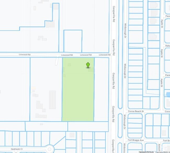
5301 Linwood Rd, Placida, FL 33946

Property Detail
5301 Linwood Rd
412120352002
LEMON BAY GROVES UNIT 1 TRACT 1 418/534 583/1000 852/25-26 1223/1680 1405/778 E1925/1710 E3597/949 3798/388 4885/1286 ZZZ 204121 P7-1 20 41 21 P-7-1 2.27 AC. M/L COMM SW COR SEC 20 TH E 856.84 FT TH N 100 FT FOR POB TH CONT N ALG W R/W SR 771 659
Miningfacilityoilgasmineralpreciousmetals
Charlotte
II
Florida
B and X Area of moderate flood hazard, usually the area between the limits of the 100-year and 500-year floods.
8.23 AC
2024
Charlotte County
2025
Southwest Florida
030504
Punta Gorda, FL
224 SF
NEARBY LISTINGS FOR SALE OR LEASE
DEMOGRAPHICS near 5301 Linwood Rd
1 mile
3 mile
5 mile
2025 Total Population
2,682
18,798
42,466
2030 Population
3,108
21,122
47,132
Pop Growth 2025-2030
+ 15.88%
+ 12.36%
+ 10.99%
Average Age
59
58
56
2025 Total Households
1,272
8,715
20,060
HH Growth 2025-2030
+ 15.96%
+ 12.25%
+ 10.89%
Median Household Inc
$99,999
$93,660
$78,704
Avg Household Size
2.10
2.10
2.10
2025 Avg HH Vehicles
2.00
2.00
2.00
Median Home Value
$482,352
$462,316
$404,929
Median Year Built
2010
2005
1998
Nearby Places
Map Layers
Map Styles
 Street
 Aerial
Layers
 Traffic
 Biking
Places
Listings with unknown addresses are not visible on the map
- Restaurants
- Banks
- Shops
- Fitness
- Groceries
PUBLIC TRANSPORTATION
AIRPORT
Punta Gorda
Drive
Walk
Distance
Punta Gorda
41 min
23.9 mi
Freight Ports
Port Manatee
Drive
Walk
Distance
Port Manatee
91 min
65.9 mi
Nearby Properties
Address
Land Use
TOTAL SIZE
Lot Size
Zoning
Address
Land Use
TOTAL SIZE
Lot Size
Zoning
99,840 SF
7.60 AC
IG
Address
Land Use
TOTAL SIZE
Lot Size
Zoning
108,048 SF
14.84 AC
CG
Address
Land Use
TOTAL SIZE
Lot Size
Zoning
42,935 SF
167.66 AC
RE1
Address
Land Use
TOTAL SIZE
Lot Size
Zoning
1,200 SF
29.50 AC
CG
Address
Land Use
TOTAL SIZE
Lot Size
Zoning
20.12 AC
CG
Address
Land Use
TOTAL SIZE
Lot Size
Zoning
24,708 SF
14.89 AC
CT
Address
Land Use
TOTAL SIZE
Lot Size
Zoning
38.14 AC
IG
Address
Land Use
TOTAL SIZE
Lot Size
Zoning
12,300 SF
5.02 AC
IG
Address
Land Use
TOTAL SIZE
Lot Size
Zoning
6,476 SF
17.26 AC
II
Address
Land Use
TOTAL SIZE
Lot Size
Zoning
4,776 SF
20 AC
II
Address
Land Use
TOTAL SIZE
Lot Size
Zoning
2,940 SF
332.40 AC
RSF5
Address
Land Use
TOTAL SIZE
Lot Size
Zoning
560 SF
10.23 AC
IG
Address
Land Use
TOTAL SIZE
Lot Size
Zoning
16.53 AC
CG
Address
Land Use
TOTAL SIZE
Lot Size
Zoning
20,650 SF
1.61 AC
CG
Address
Land Use
TOTAL SIZE
Lot Size
Zoning
5,222 SF
85.60 AC
RMF10
Address
Land Use
TOTAL SIZE
Lot Size
Zoning
1,430 SF
5.98 AC
CG
Address
Land Use
TOTAL SIZE
Lot Size
Zoning
12,907 SF
165.69 AC
RSF5
Address
Land Use
TOTAL SIZE
Lot Size
Zoning
18,599 SF
1.96 AC
IG
Address
Land Use
TOTAL SIZE
Lot Size
Zoning
576 SF
5 AC
II
Address
Land Use
TOTAL SIZE
Lot Size
Zoning
11,550 SF
1.18 AC
CG
Address
Land Use
TOTAL SIZE
Lot Size
Zoning
10.88 AC
CG
Address
Land Use
TOTAL SIZE
Lot Size
Zoning
11,708 SF
9.99 AC
II
Address
Land Use
TOTAL SIZE
Lot Size
Zoning
4,000 SF
7.78 AC
RMF10
Address
Land Use
TOTAL SIZE
Lot Size
Zoning
13.29 AC
CG
Address
Land Use
TOTAL SIZE
Lot Size
Zoning
15,000 SF
1.62 AC
IG
Address
Land Use
TOTAL SIZE
Lot Size
Zoning
7.71 AC
CG
Address
Land Use
TOTAL SIZE
Lot Size
Zoning
15,787 SF
1.46 AC
IG
Address
Land Use
TOTAL SIZE
Lot Size
Zoning
630 SF
10 AC
II
Address
Land Use
TOTAL SIZE
Lot Size
Zoning
12,672 SF
0.86 AC
IG
Address
Land Use
TOTAL SIZE
Lot Size
Zoning
The World's #1 Commercial Real Estate Marketplace
Connect with us
© 2026 CoStar Group
The information above has been obtained from sources believed reliable. While we do not doubt its accuracy we have not verified it and make no guarantee, warranty or representation about it. It is your responsibility to independently confirm its accuracy and completeness. Any projections, opinions, assumptions, or estimates used are for example only and do not represent the current or future performance of the property. The value of this transaction to you depends on tax and other factors which should be evaluated by your tax, financial, and legal advisors. You and your advisors should conduct a careful, independent investigation of the property to determine to your satisfaction the suitability of the property for your needs.