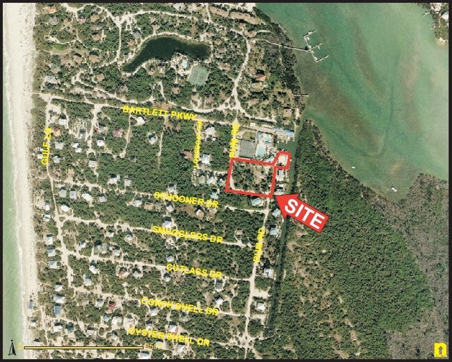
Property Record
531 Rum Rd, Upper Captiva, FL 33924

Property Detail
531 Rum Rd
Cape Coral-Fort Myers, FL
FR SE COR GL2; N 8 E FOR 330.15 FT; N 81 E FOR 151FT TO POB; CONT N81E FOR 319FT
05-45-21-16-00000.0480
LEE
Commercialacreage
Florida
CPD
2
AE The base floodplain where base flood elevations are provided. AE Zones are now used on new format FIRMs instead of A1-A30 Zones.
1.59 AC
2024
The Islands
2025
Southwest Florida
080100
NEARBY LISTINGS FOR SALE OR LEASE
-
-
View all Upper Captiva listings for sale on LoopNet.com
DEMOGRAPHICS near 531 Rum Rd
1 mile
3 mile
5 mile
2025 Total Population
0
0
0
2030 Population
0
0
0
Pop Growth 2025-2030
0.00%
0.00%
0.00%
Average Age
0
0
0
2025 Total Households
0
0
0
HH Growth 2025-2030
0.00%
0.00%
0.00%
Median Household Inc
$0
$0
$0
Avg Household Size
.00
.00
.00
2025 Avg HH Vehicles
.00
.00
.00
Median Home Value
$0
$0
$0
Median Year Built
0
0
0
Nearby Places
Map Layers
Map Styles
 Street
 Aerial
Transit
 Traffic
 Biking
Places
Listings with unknown addresses are not visible on the map
- Restaurants
- Banks
- Shops
- Fitness
- Groceries
PUBLIC TRANSPORTATION
AIRPORT
Southwest Florida International
Drive
Walk
Distance
Southwest Florida International
79 min
37.6 mi
Nearby Properties
Address
Land Use
TOTAL SIZE
Lot Size
Zoning
Address
Land Use
TOTAL SIZE
Lot Size
Zoning
354.39 AC
AG2
Address
Land Use
TOTAL SIZE
Lot Size
Zoning
93.56 AC
Address
Land Use
TOTAL SIZE
Lot Size
Zoning
3.74 AC
AG-2
Address
Land Use
TOTAL SIZE
Lot Size
Zoning
3,647 SF
1.50 AC
C-1
Address
Land Use
TOTAL SIZE
Lot Size
Zoning
1.18 AC
C-1
Address
Land Use
TOTAL SIZE
Lot Size
Zoning
3,279 SF
1.09 AC
RM-2
Address
Land Use
TOTAL SIZE
Lot Size
Zoning
3,374 SF
0.63 AC
C-1
Address
Land Use
TOTAL SIZE
Lot Size
Zoning
2,700 SF
0.48 AC
RS-1
Address
Land Use
TOTAL SIZE
Lot Size
Zoning
0.44 AC
RM2
Address
Land Use
TOTAL SIZE
Lot Size
Zoning
9,605 SF
0.52 AC
C-1
Address
Land Use
TOTAL SIZE
Lot Size
Zoning
0.51 AC
C-1
Address
Land Use
TOTAL SIZE
Lot Size
Zoning
0.86 AC
C1
Address
Land Use
TOTAL SIZE
Lot Size
Zoning
2,563 SF
0.20 AC
C-1
Address
Land Use
TOTAL SIZE
Lot Size
Zoning
1.02 AC
C-1
Address
Land Use
TOTAL SIZE
Lot Size
Zoning
9,063 SF
0.35 AC
C1A
Address
Land Use
TOTAL SIZE
Lot Size
Zoning
9,639 SF
0.37 AC
C1A
Address
Land Use
TOTAL SIZE
Lot Size
Zoning
2,419 SF
0.41 AC
RM2
Address
Land Use
TOTAL SIZE
Lot Size
Zoning
684 SF
0.47 AC
RS-1
Address
Land Use
TOTAL SIZE
Lot Size
Zoning
9.50 AC
AG-2
Address
Land Use
TOTAL SIZE
Lot Size
Zoning
0.33 AC
TFC2
Address
Land Use
TOTAL SIZE
Lot Size
Zoning
3,894 SF
0.48 AC
CF
Address
Land Use
TOTAL SIZE
Lot Size
Zoning
0.34 AC
C-1
Address
Land Use
TOTAL SIZE
Lot Size
Zoning
16.47 AC
AG2
Address
Land Use
TOTAL SIZE
Lot Size
Zoning
1.10 AC
C-1
Address
Land Use
TOTAL SIZE
Lot Size
Zoning
0.48 AC
RM2
Address
Land Use
TOTAL SIZE
Lot Size
Zoning
0.56 AC
RM2
Address
Land Use
TOTAL SIZE
Lot Size
Zoning
0.42 AC
RM2
Address
Land Use
TOTAL SIZE
Lot Size
Zoning
5,924 SF
0.66 AC
C-1
Address
Land Use
TOTAL SIZE
Lot Size
Zoning
0.33 AC
RS1
The World's #1 Commercial Real Estate Marketplace
Connect with us
© 2026 CoStar Group
The information above has been obtained from sources believed reliable. While we do not doubt its accuracy we have not verified it and make no guarantee, warranty or representation about it. It is your responsibility to independently confirm its accuracy and completeness. Any projections, opinions, assumptions, or estimates used are for example only and do not represent the current or future performance of the property. The value of this transaction to you depends on tax and other factors which should be evaluated by your tax, financial, and legal advisors. You and your advisors should conduct a careful, independent investigation of the property to determine to your satisfaction the suitability of the property for your needs.