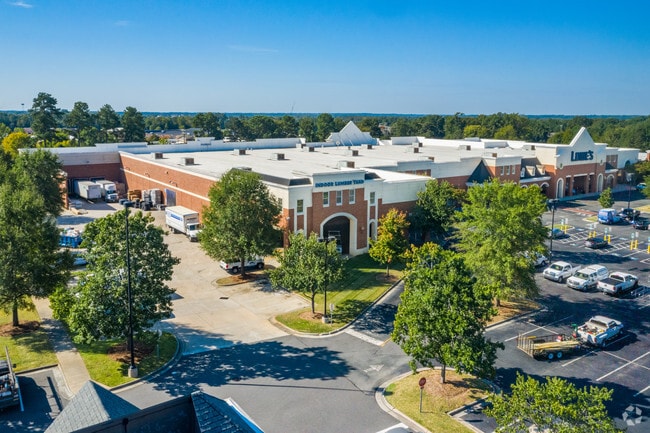
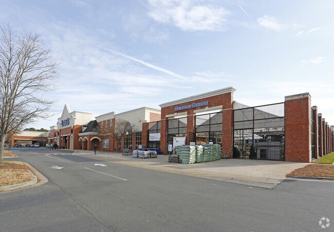
Property Record
5310 Ballantyne Commons Pky, Charlotte, NC 28277
NEARBY LISTINGS FOR SALE OR LEASE
-
-
View all Charlotte listings for sale on LoopNet.com
Property Detail
5310 Ballantyne Commons Pky
Charlotte-Concord-Gastonia, NC-SC
Buffer
225-112-09
L2 M53-728
Commercialnec
Mecklenburg
X
North Carolina
3710446800K
2
2024
14.37 AC
2025
Outer Southeast
005817
Charlotte
120,738 SF
DEMOGRAPHICS near 5310 Ballantyne Commons Pky
1 Mile
3 Mile
5 Mile
2024 Total Population
9,073
65,445
176,563
2029 Population
9,540
69,034
187,492
Pop Growth 2024-2029
+ 5.15%
+ 5.48%
+ 6.19%
Average Age
38
40
40
2024 Total Households
3,453
24,461
66,364
HH Growth 2024-2029
+ 5.30%
+ 5.47%
+ 6.16%
Median Household Inc
$134,351
$127,383
$121,338
Avg Household Size
2.60
2.70
2.60
2024 Avg HH Vehicles
2.00
2.00
2.00
Median Home Value
$480,401
$486,731
$466,439
Median Year Built
2004
1997
1995
Nearby Places
Map Layers
Map Styles
 Street
 Aerial
- Restaurants
- Banks
- Shops
- Fitness
- Groceries
PUBLIC TRANSPORTATION
AIRPORT
Charlotte/Douglas International
DRIVE
WALK
Distance
Charlotte/Douglas International
29 min
18.4 mi
Concord-Padgett Regional
DRIVE
WALK
Distance
Concord-Padgett Regional
39 min
31.4 mi
SALE & LEASE HISTORY
LISTING DATE
SALE/LEASE

Aug 22, 2019
For Sale
Nearby Properties
Address
Land Use
TOTAL SIZE
Lot Size
Zoning
Address
Land Use
TOTAL SIZE
Lot Size
Zoning
476,565 SF
13.18 AC
Address
Land Use
TOTAL SIZE
Lot Size
Zoning
339,072 SF
20.65 AC
B1SCD
Address
Land Use
TOTAL SIZE
Lot Size
Zoning
295,548 SF
43.48 AC
CC
Address
Land Use
TOTAL SIZE
Lot Size
Zoning
191,929 SF
26.85 AC
B1SCD
Address
Land Use
TOTAL SIZE
Lot Size
Zoning
217,826 SF
82.89 AC
R3
Address
Land Use
TOTAL SIZE
Lot Size
Zoning
343,125 SF
24.48 AC
R12MFCD
Address
Land Use
TOTAL SIZE
Lot Size
Zoning
324,188 SF
51.13 AC
Address
Land Use
TOTAL SIZE
Lot Size
Zoning
304,043 SF
19.40 AC
R17MFCD
Address
Land Use
TOTAL SIZE
Lot Size
Zoning
291,482 SF
23.12 AC
R12MFCD
Address
Land Use
TOTAL SIZE
Lot Size
Zoning
312,194 SF
24.88 AC
R12MFCD
Address
Land Use
TOTAL SIZE
Lot Size
Zoning
268,545 SF
26.83 AC
R15MFCD
Address
Land Use
TOTAL SIZE
Lot Size
Zoning
288,495 SF
22.35 AC
R9PUD
Address
Land Use
TOTAL SIZE
Lot Size
Zoning
261,874 SF
7.18 AC
Address
Land Use
TOTAL SIZE
Lot Size
Zoning
28.27 AC
Address
Land Use
TOTAL SIZE
Lot Size
Zoning
248,806 SF
6.12 AC
Address
Land Use
TOTAL SIZE
Lot Size
Zoning
257,686 SF
26.78 AC
R8MFCD
Address
Land Use
TOTAL SIZE
Lot Size
Zoning
296,002 SF
3 AC
Address
Land Use
TOTAL SIZE
Lot Size
Zoning
315,524 SF
3.84 AC
Address
Land Use
TOTAL SIZE
Lot Size
Zoning
185,878 SF
18.24 AC
CC
Address
Land Use
TOTAL SIZE
Lot Size
Zoning
234,773 SF
12.96 AC
Address
Land Use
TOTAL SIZE
Lot Size
Zoning
222,310 SF
3.51 AC
Address
Land Use
TOTAL SIZE
Lot Size
Zoning
117,672 SF
16.68 AC
CC
Address
Land Use
TOTAL SIZE
Lot Size
Zoning
192,527 SF
24.08 AC
Address
Land Use
TOTAL SIZE
Lot Size
Zoning
154,021 SF
15.08 AC
Address
Land Use
TOTAL SIZE
Lot Size
Zoning
121,464 SF
13.35 AC
Address
Land Use
TOTAL SIZE
Lot Size
Zoning
185,302 SF
47.89 AC
R3
Address
Land Use
TOTAL SIZE
Lot Size
Zoning
159,801 SF
17.02 AC
CC
Address
Land Use
TOTAL SIZE
Lot Size
Zoning
7.54 AC
Address
Land Use
TOTAL SIZE
Lot Size
Zoning
132,576 SF
3.54 AC
Address
Land Use
TOTAL SIZE
Lot Size
Zoning
214,445 SF
15.80 AC
R15MFCD
The World's #1 Commercial Real Estate Marketplace
Connect with us
© 2026 CoStar Group
The information above has been obtained from sources believed reliable. While we do not doubt its accuracy we have not verified it and make no guarantee, warranty or representation about it. It is your responsibility to independently confirm its accuracy and completeness. Any projections, opinions, assumptions, or estimates used are for example only and do not represent the current or future performance of the property. The value of this transaction to you depends on tax and other factors which should be evaluated by your tax, financial, and legal advisors. You and your advisors should conduct a careful, independent investigation of the property to determine to your satisfaction the suitability of the property for your needs.