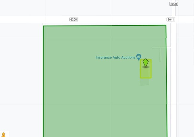
Property Record
5311 N County Road 2000, Lubbock, TX 79415

Property Detail
5311 N County Road 2000
R321255
BLK JS SEC 13 AB 342 TR A6 ACS: 20
Officebuilding
Lubbock
B and X Area of moderate flood hazard, usually the area between the limits of the 100-year and 500-year floods.
Texas
2024
20 AC
2025
Outlying Lubbock County
010301
Lubbock
7,200 SF
Lubbock, TX
NEARBY LISTINGS FOR SALE OR LEASE
DEMOGRAPHICS near 5311 N County Road 2000
1 mile
3 mile
5 mile
2024 Total Population
53
10,459
60,729
2029 Population
56
10,752
62,694
Pop Growth 2024-2029
+ 5.66%
+ 2.80%
+ 3.24%
Average Age
38
33
33
2024 Total Households
18
3,693
21,489
HH Growth 2024-2029
+ 5.56%
+ 2.84%
+ 3.93%
Median Household Inc
$95,833
$48,405
$49,041
Avg Household Size
2.90
2.70
2.40
2024 Avg HH Vehicles
3.00
2.00
2.00
Median Home Value
$250,000
$225,256
$183,720
Median Year Built
2006
2001
1992
Nearby Places
Map Layers
Map Styles
 Street
 Aerial
Transit
 Traffic
 Biking
Places
Listings with unknown addresses are not visible on the map
- Restaurants
- Banks
- Shops
- Fitness
- Groceries
PUBLIC TRANSPORTATION
AIRPORT
Lubbock Preston Smith International
Drive
Walk
Distance
Lubbock Preston Smith International
22 min
10.9 mi
Freight Ports
Tulsa Port Of Catoosa
Drive
Walk
Distance
Tulsa Port Of Catoosa
508 min
470.0 mi
Nearby Properties
Address
Land Use
TOTAL SIZE
Lot Size
Zoning
Address
Land Use
TOTAL SIZE
Lot Size
Zoning
103,717 SF
25.26 AC
Address
Land Use
TOTAL SIZE
Lot Size
Zoning
379,029 SF
29.43 AC
Address
Land Use
TOTAL SIZE
Lot Size
Zoning
409,380 SF
30.13 AC
Address
Land Use
TOTAL SIZE
Lot Size
Zoning
88,803 SF
7.23 AC
Address
Land Use
TOTAL SIZE
Lot Size
Zoning
207.36 AC
Address
Land Use
TOTAL SIZE
Lot Size
Zoning
218,180 SF
25.87 AC
Address
Land Use
TOTAL SIZE
Lot Size
Zoning
948,414 SF
92.10 AC
Address
Land Use
TOTAL SIZE
Lot Size
Zoning
425,004 SF
19.88 AC
Address
Land Use
TOTAL SIZE
Lot Size
Zoning
150,000 SF
13.65 AC
Address
Land Use
TOTAL SIZE
Lot Size
Zoning
32,819 SF
4.25 AC
Address
Land Use
TOTAL SIZE
Lot Size
Zoning
25,945 SF
3.14 AC
Address
Land Use
TOTAL SIZE
Lot Size
Zoning
138.71 AC
Address
Land Use
TOTAL SIZE
Lot Size
Zoning
48,393 SF
18.70 AC
Address
Land Use
TOTAL SIZE
Lot Size
Zoning
638,799 SF
177.41 AC
Address
Land Use
TOTAL SIZE
Lot Size
Zoning
43,436 SF
8.76 AC
Address
Land Use
TOTAL SIZE
Lot Size
Zoning
13,585 SF
1.55 AC
Address
Land Use
TOTAL SIZE
Lot Size
Zoning
194,157 SF
8.07 AC
Address
Land Use
TOTAL SIZE
Lot Size
Zoning
160,686 SF
20 AC
Address
Land Use
TOTAL SIZE
Lot Size
Zoning
82,000 SF
16.19 AC
Address
Land Use
TOTAL SIZE
Lot Size
Zoning
80,912 SF
21.03 AC
Address
Land Use
TOTAL SIZE
Lot Size
Zoning
6,703 SF
3.10 AC
Address
Land Use
TOTAL SIZE
Lot Size
Zoning
28,866 SF
183.11 AC
Address
Land Use
TOTAL SIZE
Lot Size
Zoning
105.64 AC
Address
Land Use
TOTAL SIZE
Lot Size
Zoning
75,495 SF
8.55 AC
Address
Land Use
TOTAL SIZE
Lot Size
Zoning
29,633 SF
4.87 AC
Address
Land Use
TOTAL SIZE
Lot Size
Zoning
26,500 SF
2.34 AC
Address
Land Use
TOTAL SIZE
Lot Size
Zoning
5,000 SF
4 AC
Address
Land Use
TOTAL SIZE
Lot Size
Zoning
51,072 SF
8.40 AC
Address
Land Use
TOTAL SIZE
Lot Size
Zoning
4,733 SF
44.69 AC
Address
Land Use
TOTAL SIZE
Lot Size
Zoning
66,000 SF
6 AC
The World's #1 Commercial Real Estate Marketplace
Connect with us
© 2026 CoStar Group
The information above has been obtained from sources believed reliable. While we do not doubt its accuracy we have not verified it and make no guarantee, warranty or representation about it. It is your responsibility to independently confirm its accuracy and completeness. Any projections, opinions, assumptions, or estimates used are for example only and do not represent the current or future performance of the property. The value of this transaction to you depends on tax and other factors which should be evaluated by your tax, financial, and legal advisors. You and your advisors should conduct a careful, independent investigation of the property to determine to your satisfaction the suitability of the property for your needs.