Property Record
5320 Mathews Rd, Middleton, WI 53562


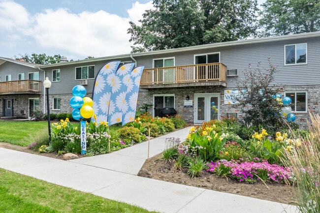
Property Detail
5320 Mathews Rd
Madison, WI
SUNRISE HEIGHTS LOT 23
0709-063-1763-9
DANE
Commercialnec
Wisconsin
B and X Area of moderate flood hazard, usually the area between the limits of the 100-year and 500-year floods.
23
2025
8.19 AC
2025
Baskerville
011101
Milwaukee/Madison
NEARBY LISTINGS FOR SALE OR LEASE
DEMOGRAPHICS near 5320 Mathews Rd
1 mile
3 mile
5 mile
2025 Total Population
6,145
39,857
184,699
2030 Population
6,313
41,575
197,563
Pop Growth 2025-2030
+ 2.73%
+ 4.31%
+ 6.96%
Average Age
41
41
37
2025 Total Households
2,922
18,536
79,202
HH Growth 2025-2030
+ 2.87%
+ 4.61%
+ 7.43%
Median Household Inc
$75,259
$82,817
$71,131
Avg Household Size
2.00
2.10
2.10
2025 Avg HH Vehicles
2.00
2.00
1.00
Median Home Value
$547,187
$506,448
$467,488
Median Year Built
1986
1980
1988
Nearby Places
Map Layers
Map Styles
 Street
 Aerial
Layers
 Traffic
 Biking
Places
Listings with unknown addresses are not visible on the map
- Restaurants
- Banks
- Shops
- Fitness
- Groceries
PUBLIC TRANSPORTATION
AIRPORT
Dane County Regional/Truax Field
Drive
Walk
Distance
Dane County Regional/Truax Field
17 min
9.8 mi
Freight Ports
Port Milwaukee
Drive
Walk
Distance
Port Milwaukee
107 min
86.8 mi
Nearby Properties
Address
Land Use
TOTAL SIZE
Lot Size
Zoning
Address
Land Use
TOTAL SIZE
Lot Size
Zoning
393,708 SF
2.89 AC
PD
Address
Land Use
TOTAL SIZE
Lot Size
Zoning
262,260 SF
6.28 AC
TR-U2
Address
Land Use
TOTAL SIZE
Lot Size
Zoning
317,128 SF
10.14 AC
PD
Address
Land Use
TOTAL SIZE
Lot Size
Zoning
557,272 SF
28.49 AC
PD
Address
Land Use
TOTAL SIZE
Lot Size
Zoning
8.48 AC
Address
Land Use
TOTAL SIZE
Lot Size
Zoning
350,550 SF
6.17 AC
TR-U2
Address
Land Use
TOTAL SIZE
Lot Size
Zoning
5.95 AC
Address
Land Use
TOTAL SIZE
Lot Size
Zoning
10.12 AC
Address
Land Use
TOTAL SIZE
Lot Size
Zoning
360,223 SF
PD
Address
Land Use
TOTAL SIZE
Lot Size
Zoning
180,250 SF
0.58 AC
PD
Address
Land Use
TOTAL SIZE
Lot Size
Zoning
Address
Land Use
TOTAL SIZE
Lot Size
Zoning
10.01 AC
Address
Land Use
TOTAL SIZE
Lot Size
Zoning
222,406 SF
0.01 AC
PD
Address
Land Use
TOTAL SIZE
Lot Size
Zoning
48,807 SF
2.89 AC
PD
Address
Land Use
TOTAL SIZE
Lot Size
Zoning
139,988 SF
228.01 AC
PD
Address
Land Use
TOTAL SIZE
Lot Size
Zoning
140,672 SF
3.48 AC
SE
Address
Land Use
TOTAL SIZE
Lot Size
Zoning
26.62 AC
Address
Land Use
TOTAL SIZE
Lot Size
Zoning
20,968 SF
2 AC
TR-U2
Address
Land Use
TOTAL SIZE
Lot Size
Zoning
1.19 AC
Address
Land Use
TOTAL SIZE
Lot Size
Zoning
3.19 AC
Address
Land Use
TOTAL SIZE
Lot Size
Zoning
149,328 SF
9.70 AC
SR-V2
Address
Land Use
TOTAL SIZE
Lot Size
Zoning
Address
Land Use
TOTAL SIZE
Lot Size
Zoning
142,728 SF
3.34 AC
SR-V2
Address
Land Use
TOTAL SIZE
Lot Size
Zoning
61,757 SF
3.74 AC
PD
Address
Land Use
TOTAL SIZE
Lot Size
Zoning
Address
Land Use
TOTAL SIZE
Lot Size
Zoning
114,288 SF
5.78 AC
PD
Address
Land Use
TOTAL SIZE
Lot Size
Zoning
147,593 SF
5.32 AC
PD
Address
Land Use
TOTAL SIZE
Lot Size
Zoning
0.95 AC
Address
Land Use
TOTAL SIZE
Lot Size
Zoning
137,968 SF
2.22 AC
TR-U2
Address
Land Use
TOTAL SIZE
Lot Size
Zoning
7.16 AC
The World's #1 Commercial Real Estate Marketplace
Connect with us
© 2026 CoStar Group
The information above has been obtained from sources believed reliable. While we do not doubt its accuracy we have not verified it and make no guarantee, warranty or representation about it. It is your responsibility to independently confirm its accuracy and completeness. Any projections, opinions, assumptions, or estimates used are for example only and do not represent the current or future performance of the property. The value of this transaction to you depends on tax and other factors which should be evaluated by your tax, financial, and legal advisors. You and your advisors should conduct a careful, independent investigation of the property to determine to your satisfaction the suitability of the property for your needs.