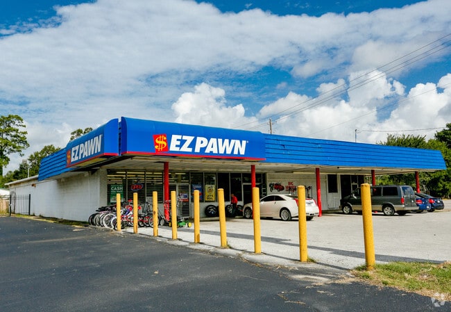
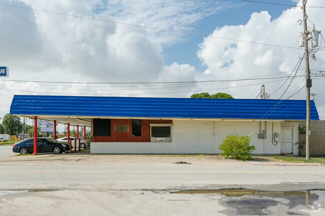
Property Record
539 S Sheldon Rd, Channelview, TX 77530

Property Detail
539 S Sheldon Rd
0402400050005
TRS 5 & 5M ABST 28 HARRIS & CARPENTER
Industrialgeneral
HARRIS
AE The base floodplain where base flood elevations are provided. AE Zones are now used on new format FIRMs instead of A1-A30 Zones.
Texas
2024
124.91 AC
2025
East I-10 Outer Loop
252400
Houston
171,332 SF
Houston-Pasadena-The Woodlands, TX
NEARBY LISTINGS FOR SALE OR LEASE
DEMOGRAPHICS near 539 S Sheldon Rd
1 mile
3 mile
5 mile
2025 Total Population
2,248
38,942
117,313
2030 Population
2,396
41,192
124,064
Pop Growth 2025-2030
+ 6.58%
+ 5.78%
+ 5.75%
Average Age
33
34
35
2025 Total Households
682
11,477
36,287
HH Growth 2025-2030
+ 6.74%
+ 5.92%
+ 5.90%
Median Household Inc
$50,417
$60,789
$66,325
Avg Household Size
3.20
3.30
3.20
2025 Avg HH Vehicles
2.00
2.00
2.00
Median Home Value
$126,129
$183,806
$210,978
Median Year Built
1980
1984
1982
Nearby Places
Map Layers
Map Styles
 Street
 Aerial
Transit
 Traffic
 Biking
Places
Listings with unknown addresses are not visible on the map
- Restaurants
- Banks
- Shops
- Fitness
- Groceries
PUBLIC TRANSPORTATION
AIRPORT
William P Hobby
Drive
Walk
Distance
William P Hobby
37 min
21.4 mi
George Bush Intcntl/Houston
Drive
Walk
Distance
George Bush Intcntl/Houston
34 min
25.5 mi
Freight Ports
Port of Houston
Drive
Walk
Distance
Port of Houston
24 min
13.4 mi
Nearby Properties
Address
Land Use
TOTAL SIZE
Lot Size
Zoning
Address
Land Use
TOTAL SIZE
Lot Size
Zoning
16,879,748 SF
228.46 AC
Address
Land Use
TOTAL SIZE
Lot Size
Zoning
12,525,600 SF
260.20 AC
Address
Land Use
TOTAL SIZE
Lot Size
Zoning
10,093,711 SF
30.83 AC
Address
Land Use
TOTAL SIZE
Lot Size
Zoning
8,203,364 SF
183.34 AC
Address
Land Use
TOTAL SIZE
Lot Size
Zoning
263.71 AC
Address
Land Use
TOTAL SIZE
Lot Size
Zoning
8,735,136 SF
185.66 AC
Address
Land Use
TOTAL SIZE
Lot Size
Zoning
9,585,990 SF
122.92 AC
Address
Land Use
TOTAL SIZE
Lot Size
Zoning
167.71 AC
Address
Land Use
TOTAL SIZE
Lot Size
Zoning
102.48 AC
Address
Land Use
TOTAL SIZE
Lot Size
Zoning
2,936,644 SF
59.90 AC
Address
Land Use
TOTAL SIZE
Lot Size
Zoning
1,042,908 SF
28.92 AC
Address
Land Use
TOTAL SIZE
Lot Size
Zoning
680,077 SF
86.92 AC
Address
Land Use
TOTAL SIZE
Lot Size
Zoning
33.93 AC
Address
Land Use
TOTAL SIZE
Lot Size
Zoning
22.02 AC
Address
Land Use
TOTAL SIZE
Lot Size
Zoning
760,851 SF
41.87 AC
Address
Land Use
TOTAL SIZE
Lot Size
Zoning
248.91 AC
Address
Land Use
TOTAL SIZE
Lot Size
Zoning
56.69 AC
Address
Land Use
TOTAL SIZE
Lot Size
Zoning
59.10 AC
Address
Land Use
TOTAL SIZE
Lot Size
Zoning
30.84 AC
Address
Land Use
TOTAL SIZE
Lot Size
Zoning
1,306,874 SF
6.76 AC
Address
Land Use
TOTAL SIZE
Lot Size
Zoning
730,000 SF
11.57 AC
Address
Land Use
TOTAL SIZE
Lot Size
Zoning
176.73 AC
Address
Land Use
TOTAL SIZE
Lot Size
Zoning
2.67 AC
Address
Land Use
TOTAL SIZE
Lot Size
Zoning
184.18 AC
Address
Land Use
TOTAL SIZE
Lot Size
Zoning
398,995 SF
27.39 AC
Address
Land Use
TOTAL SIZE
Lot Size
Zoning
21.83 AC
Address
Land Use
TOTAL SIZE
Lot Size
Zoning
43.70 AC
Address
Land Use
TOTAL SIZE
Lot Size
Zoning
202,544 SF
4.06 AC
Address
Land Use
TOTAL SIZE
Lot Size
Zoning
11,203 SF
5.85 AC
Address
Land Use
TOTAL SIZE
Lot Size
Zoning
385,759 SF
89.05 AC
The World's #1 Commercial Real Estate Marketplace
Connect with us
© 2026 CoStar Group
The information above has been obtained from sources believed reliable. While we do not doubt its accuracy we have not verified it and make no guarantee, warranty or representation about it. It is your responsibility to independently confirm its accuracy and completeness. Any projections, opinions, assumptions, or estimates used are for example only and do not represent the current or future performance of the property. The value of this transaction to you depends on tax and other factors which should be evaluated by your tax, financial, and legal advisors. You and your advisors should conduct a careful, independent investigation of the property to determine to your satisfaction the suitability of the property for your needs.