Property Record
5403 7Th Ave, Kenosha, WI 53140
Current Lease Availabilities
Property Detail
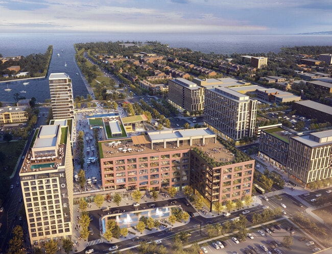
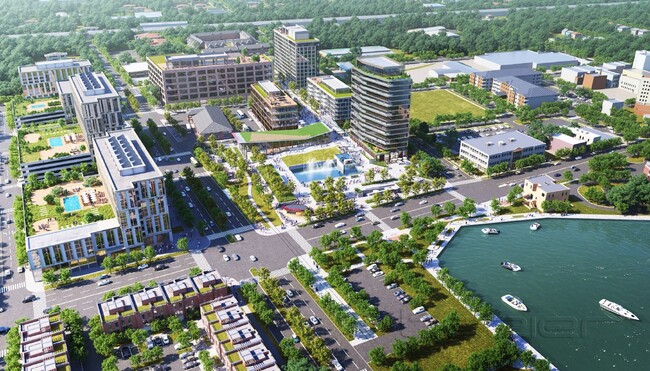
5403 7Th Ave
Kenosha, WI
TO 2708-18 INCL SE 1/4 SEC 31 T2 R23 BLK 14 COM 183 FT W'LY OF OF NW COR OF 6TH AVE & 55TH ST AS LAID OUT IN 1930 TH W'LY 124
12-223-31-402-003
KENOSHA
Municipalproperty
Wisconsin
IP
0
B and X Area of moderate flood hazard, usually the area between the limits of the 100-year and 500-year floods.
0.48 AC
2025
Kenosha East
2025
Chicago
001000
NEARBY LISTINGS FOR SALE OR LEASE
DEMOGRAPHICS near 5403 7Th Ave
1 mile
3 mile
5 mile
2025 Total Population
14,557
73,941
104,631
2030 Population
14,101
72,972
103,740
Pop Growth 2025-2030
(3.13%)
(1.31%)
(0.85%)
Average Age
38
39
40
2025 Total Households
5,896
29,322
41,813
HH Growth 2025-2030
(3.10%)
(1.27%)
(0.85%)
Median Household Inc
$46,721
$61,411
$66,486
Avg Household Size
2.30
2.40
2.40
2025 Avg HH Vehicles
2.00
2.00
2.00
Median Home Value
$189,014
$200,767
$236,476
Median Year Built
1948
1960
1969
Nearby Places
Map Layers
Map Styles
 Street
 Aerial
Layers
 Traffic
 Biking
Places
Listings with unknown addresses are not visible on the map
- Restaurants
- Banks
- Shops
- Fitness
- Groceries
PUBLIC TRANSPORTATION
COMMUTER RAIL
Kenosha Station (Union Pacific North Line - Northeast Illinois Regional Commuter Railroad (Metra))
Drive
Walk
Distance
Kenosha Station (Union Pacific North Line - Northeast Illinois Regional Commuter Railroad (Metra))
1 min
7 min
0.4 mi
Winthrop Harbor Station (Union Pacific North Line - Northeast Illinois Regional Commuter Railroad (Metra))
Drive
Walk
Distance
Winthrop Harbor Station (Union Pacific North Line - Northeast Illinois Regional Commuter Railroad (Metra))
14 min
7.8 mi
AIRPORT
General Mitchell International
Drive
Walk
Distance
General Mitchell International
45 min
32.7 mi
Freight Ports
Port Milwaukee
Drive
Walk
Distance
Port Milwaukee
50 min
36.6 mi
Nearby Properties
Address
Land Use
TOTAL SIZE
Lot Size
Zoning
Address
Land Use
TOTAL SIZE
Lot Size
Zoning
10.37 AC
IP
Address
Land Use
TOTAL SIZE
Lot Size
Zoning
357,885 SF
26.58 AC
M1
Address
Land Use
TOTAL SIZE
Lot Size
Zoning
26,016 SF
14.02 AC
FW
Address
Land Use
TOTAL SIZE
Lot Size
Zoning
32,245 SF
22 AC
RM2
Address
Land Use
TOTAL SIZE
Lot Size
Zoning
183,173 SF
9.73 AC
RM3
Address
Land Use
TOTAL SIZE
Lot Size
Zoning
31,650 SF
7.62 AC
FW
Address
Land Use
TOTAL SIZE
Lot Size
Zoning
147,040 SF
2.50 AC
RM2
Address
Land Use
TOTAL SIZE
Lot Size
Zoning
319,640 SF
19.20 AC
M1
Address
Land Use
TOTAL SIZE
Lot Size
Zoning
63,500 SF
5.81 AC
RM2
Address
Land Use
TOTAL SIZE
Lot Size
Zoning
17,174 SF
10.31 AC
RS2
Address
Land Use
TOTAL SIZE
Lot Size
Zoning
88,473 SF
8.98 AC
B2
Address
Land Use
TOTAL SIZE
Lot Size
Zoning
28,815 SF
1.04 AC
B3
Address
Land Use
TOTAL SIZE
Lot Size
Zoning
76,848 SF
8.09 AC
BASE
Address
Land Use
TOTAL SIZE
Lot Size
Zoning
61,318 SF
6.17 AC
B2
Address
Land Use
TOTAL SIZE
Lot Size
Zoning
98,701 SF
0.62 AC
B4
Address
Land Use
TOTAL SIZE
Lot Size
Zoning
124,000 SF
7.71 AC
B2
Address
Land Use
TOTAL SIZE
Lot Size
Zoning
60,657 SF
4.42 AC
RM3
Address
Land Use
TOTAL SIZE
Lot Size
Zoning
89,436 SF
4.53 AC
RM2
Address
Land Use
TOTAL SIZE
Lot Size
Zoning
71,277 SF
14.28 AC
B2
Address
Land Use
TOTAL SIZE
Lot Size
Zoning
32,000 SF
3.97 AC
IP
Address
Land Use
TOTAL SIZE
Lot Size
Zoning
116,227 SF
10.60 AC
B2
Address
Land Use
TOTAL SIZE
Lot Size
Zoning
59,660 SF
1.22 AC
RM3
Address
Land Use
TOTAL SIZE
Lot Size
Zoning
12.38 AC
M1
Address
Land Use
TOTAL SIZE
Lot Size
Zoning
88,867 SF
8.32 AC
B2
Address
Land Use
TOTAL SIZE
Lot Size
Zoning
84,950 SF
8.11 AC
Address
Land Use
TOTAL SIZE
Lot Size
Zoning
52,297 SF
1.30 AC
B3
Address
Land Use
TOTAL SIZE
Lot Size
Zoning
49,528 SF
4.73 AC
B2
Address
Land Use
TOTAL SIZE
Lot Size
Zoning
75,932 SF
4.10 AC
RM2
Address
Land Use
TOTAL SIZE
Lot Size
Zoning
49,745 SF
0.41 AC
B4
Address
Land Use
TOTAL SIZE
Lot Size
Zoning
36,947 SF
1.49 AC
B3
The World's #1 Commercial Real Estate Marketplace
Connect with us
© 2026 CoStar Group
The information above has been obtained from sources believed reliable. While we do not doubt its accuracy we have not verified it and make no guarantee, warranty or representation about it. It is your responsibility to independently confirm its accuracy and completeness. Any projections, opinions, assumptions, or estimates used are for example only and do not represent the current or future performance of the property. The value of this transaction to you depends on tax and other factors which should be evaluated by your tax, financial, and legal advisors. You and your advisors should conduct a careful, independent investigation of the property to determine to your satisfaction the suitability of the property for your needs.