Property Record
54050 Harrison St, Thermal, CA 92274


Property Detail
54050 Harrison St
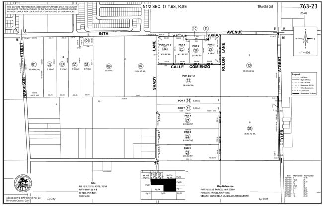
763-230-001
11.98 ACRES IN POR LOT 4 MB 004/053 COACHELLA LAND & WATER CO
Lightindustrial
RIVERSIDE
MSC
California
B and X Area of moderate flood hazard, usually the area between the limits of the 100-year and 500-year floods.
4
2024
11.98 AC
2025
Coachella Valley
045615
Inland Empire (California)
2,102 SF
Riverside-San Bernardino-Ontario, CA
NEARBY LISTINGS FOR SALE OR LEASE
DEMOGRAPHICS near 54050 Harrison St
1 mile
3 mile
5 mile
2025 Total Population
9,469
43,295
89,500
2030 Population
9,759
44,505
93,555
Pop Growth 2025-2030
+ 3.06%
+ 2.79%
+ 4.53%
Average Age
32
34
38
2025 Total Households
2,200
10,577
26,568
HH Growth 2025-2030
+ 2.95%
+ 2.86%
+ 5.47%
Median Household Inc
$50,672
$67,662
$75,975
Avg Household Size
4.30
4.00
3.30
2025 Avg HH Vehicles
2.00
2.00
2.00
Median Home Value
$327,698
$385,801
$489,959
Median Year Built
1993
1995
1999
Nearby Places
Map Layers
Map Styles
 Street
 Aerial
Layers
 Traffic
 Biking
Places
Listings with unknown addresses are not visible on the map
- Restaurants
- Banks
- Shops
- Fitness
- Groceries
PUBLIC TRANSPORTATION
AIRPORT
Palm Springs International
Drive
Walk
Distance
Palm Springs International
37 min
27.8 mi
Freight Ports
Port of San Diego
Drive
Walk
Distance
Port of San Diego
182 min
151.9 mi
SALE & LEASE HISTORY
LISTING DATE
SALE/LEASE

Oct 14, 2024
For Sale
Jan 12, 2024
For Sale
Nearby Properties
Address
Land Use
TOTAL SIZE
Lot Size
Zoning
Address
Land Use
TOTAL SIZE
Lot Size
Zoning
52,901 SF
6 AC
Address
Land Use
TOTAL SIZE
Lot Size
Zoning
133,694 SF
5.83 AC
Address
Land Use
TOTAL SIZE
Lot Size
Zoning
177,392 SF
25.40 AC
MH
Address
Land Use
TOTAL SIZE
Lot Size
Zoning
41,091 SF
4.65 AC
Address
Land Use
TOTAL SIZE
Lot Size
Zoning
105,122 SF
2.23 AC
Address
Land Use
TOTAL SIZE
Lot Size
Zoning
275,931 SF
37.69 AC
Address
Land Use
TOTAL SIZE
Lot Size
Zoning
100,110 SF
4.03 AC
Address
Land Use
TOTAL SIZE
Lot Size
Zoning
86,479 SF
6.46 AC
Address
Land Use
TOTAL SIZE
Lot Size
Zoning
30,000 SF
2.98 AC
Address
Land Use
TOTAL SIZE
Lot Size
Zoning
37,282 SF
9.92 AC
CG
Address
Land Use
TOTAL SIZE
Lot Size
Zoning
58,586 SF
6.03 AC
Address
Land Use
TOTAL SIZE
Lot Size
Zoning
76.89 AC
A120
Address
Land Use
TOTAL SIZE
Lot Size
Zoning
140,069 SF
8.37 AC
M
Address
Land Use
TOTAL SIZE
Lot Size
Zoning
1,589 SF
65.71 AC
A110
Address
Land Use
TOTAL SIZE
Lot Size
Zoning
19,059 SF
8.15 AC
Address
Land Use
TOTAL SIZE
Lot Size
Zoning
21,170 SF
7.27 AC
RM
Address
Land Use
TOTAL SIZE
Lot Size
Zoning
76,880 SF
8.30 AC
Address
Land Use
TOTAL SIZE
Lot Size
Zoning
25,370 SF
6.61 AC
A1050
Address
Land Use
TOTAL SIZE
Lot Size
Zoning
Address
Land Use
TOTAL SIZE
Lot Size
Zoning
42,249 SF
4.97 AC
Address
Land Use
TOTAL SIZE
Lot Size
Zoning
14,820 SF
1.55 AC
CG
Address
Land Use
TOTAL SIZE
Lot Size
Zoning
33,800 SF
2.66 AC
CG
Address
Land Use
TOTAL SIZE
Lot Size
Zoning
4.95 AC
RS
Address
Land Use
TOTAL SIZE
Lot Size
Zoning
21,016 SF
1.94 AC
Address
Land Use
TOTAL SIZE
Lot Size
Zoning
56,975 SF
7.37 AC
Address
Land Use
TOTAL SIZE
Lot Size
Zoning
27,675 SF
4.82 AC
RM
Address
Land Use
TOTAL SIZE
Lot Size
Zoning
126,190 SF
19.92 AC
MH
Address
Land Use
TOTAL SIZE
Lot Size
Zoning
61,224 SF
7.98 AC
MH
Address
Land Use
TOTAL SIZE
Lot Size
Zoning
75,629 SF
5.85 AC
The World's #1 Commercial Real Estate Marketplace
Connect with us
© 2026 CoStar Group
The information above has been obtained from sources believed reliable. While we do not doubt its accuracy we have not verified it and make no guarantee, warranty or representation about it. It is your responsibility to independently confirm its accuracy and completeness. Any projections, opinions, assumptions, or estimates used are for example only and do not represent the current or future performance of the property. The value of this transaction to you depends on tax and other factors which should be evaluated by your tax, financial, and legal advisors. You and your advisors should conduct a careful, independent investigation of the property to determine to your satisfaction the suitability of the property for your needs.