Property Record
541 Buck Pl, Lexington, KY 40511
NEARBY LISTINGS FOR SALE OR LEASE
Property Detail
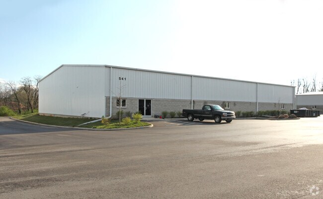
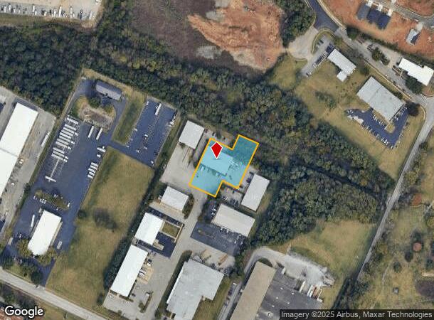
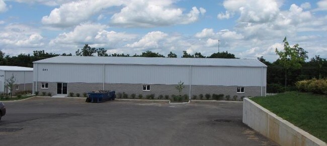
541 Buck Pl
Lexington-Fayette, KY
Lex Industrial Foundation
38226920
N-416 LEX INDUSTRIAL FOUNDATION UNIT 2 LOT 4; BOOK: 3265 PAGE: 151
Warehouse
Fayette
X
Kentucky
2100670108E
4
2025
1.01 AC
2025
West Lexington/Fayette
003703
Lexington/Fayette
10,000 SF
DEMOGRAPHICS near 541 Buck Pl
1 Mile
3 Mile
5 Mile
2024 Total Population
8,712
47,965
131,846
2029 Population
8,864
48,478
132,554
Pop Growth 2024-2029
+ 1.74%
+ 1.07%
+ 0.54%
Average Age
36
36
37
2024 Total Households
3,333
18,970
53,423
HH Growth 2024-2029
+ 1.59%
+ 1.06%
+ 0.60%
Median Household Inc
$84,075
$58,378
$52,412
Avg Household Size
2.60
2.40
2.20
2024 Avg HH Vehicles
2.00
2.00
2.00
Median Home Value
$230,890
$201,174
$209,272
Median Year Built
2006
1997
1972
Nearby Places
Map Layers
Map Styles
 Street
 Aerial
- Restaurants
- Banks
- Shops
- Fitness
- Groceries
PUBLIC TRANSPORTATION
AIRPORT
Blue Grass
DRIVE
WALK
Distance
Blue Grass
16 min
8.4 mi
Freight Ports
Port of Toledo
DRIVE
WALK
Distance
Port of Toledo
334 min
285.5 mi
SALE & LEASE HISTORY
LISTING DATE
SALE/LEASE

Dec 11, 2020
For Lease
Nearby Properties
Address
Land Use
TOTAL SIZE
Lot Size
Zoning
Address
Land Use
TOTAL SIZE
Lot Size
Zoning
6,173 SF
301.57 AC
A-R
Address
Land Use
TOTAL SIZE
Lot Size
Zoning
1,344 SF
150.76 AC
A-U
Address
Land Use
TOTAL SIZE
Lot Size
Zoning
163,536 SF
117.26 AC
I-1
Address
Land Use
TOTAL SIZE
Lot Size
Zoning
384,037 SF
9.52 AC
P-1
Address
Land Use
TOTAL SIZE
Lot Size
Zoning
2,545 SF
14 AC
R-4
Address
Land Use
TOTAL SIZE
Lot Size
Zoning
Address
Land Use
TOTAL SIZE
Lot Size
Zoning
292,191 SF
19.74 AC
B-5P
Address
Land Use
TOTAL SIZE
Lot Size
Zoning
61,965 SF
46.96 AC
A-U
Address
Land Use
TOTAL SIZE
Lot Size
Zoning
6,462 SF
332.36 AC
I-1
Address
Land Use
TOTAL SIZE
Lot Size
Zoning
70.44 AC
I-1
Address
Land Use
TOTAL SIZE
Lot Size
Zoning
210 SF
46.68 AC
M-1P
Address
Land Use
TOTAL SIZE
Lot Size
Zoning
107,473 SF
17 AC
A-U
Address
Land Use
TOTAL SIZE
Lot Size
Zoning
206,496 SF
5.57 AC
R-5
Address
Land Use
TOTAL SIZE
Lot Size
Zoning
2,864 SF
7.34 AC
R-3
Address
Land Use
TOTAL SIZE
Lot Size
Zoning
16.93 AC
R-3
Address
Land Use
TOTAL SIZE
Lot Size
Zoning
441,100 SF
30 AC
I-1
Address
Land Use
TOTAL SIZE
Lot Size
Zoning
Address
Land Use
TOTAL SIZE
Lot Size
Zoning
54,525 SF
25.78 AC
P-2
Address
Land Use
TOTAL SIZE
Lot Size
Zoning
255,490 SF
55.45 AC
I-1
Address
Land Use
TOTAL SIZE
Lot Size
Zoning
9.05 AC
R-3
Address
Land Use
TOTAL SIZE
Lot Size
Zoning
407,736 SF
29.54 AC
P-1
Address
Land Use
TOTAL SIZE
Lot Size
Zoning
187,120 SF
17.52 AC
I-1
Address
Land Use
TOTAL SIZE
Lot Size
Zoning
210,498 SF
18.36 AC
I-1
Address
Land Use
TOTAL SIZE
Lot Size
Zoning
286,060 SF
P-2
Address
Land Use
TOTAL SIZE
Lot Size
Zoning
95,268 SF
6.57 AC
R-4
Address
Land Use
TOTAL SIZE
Lot Size
Zoning
604,000 SF
60.19 AC
I-1
Address
Land Use
TOTAL SIZE
Lot Size
Zoning
128,136 SF
P-2
Address
Land Use
TOTAL SIZE
Lot Size
Zoning
76,701 SF
14.98 AC
R-3
Address
Land Use
TOTAL SIZE
Lot Size
Zoning
79,463 SF
7.80 AC
R-1C
Address
Land Use
TOTAL SIZE
Lot Size
Zoning
7.01 AC
R-3
The World's #1 Commercial Real Estate Marketplace
Connect with us
© 2025 CoStar Group
The information above has been obtained from sources believed reliable. While we do not doubt its accuracy we have not verified it and make no guarantee, warranty or representation about it. It is your responsibility to independently confirm its accuracy and completeness. Any projections, opinions, assumptions, or estimates used are for example only and do not represent the current or future performance of the property. The value of this transaction to you depends on tax and other factors which should be evaluated by your tax, financial, and legal advisors. You and your advisors should conduct a careful, independent investigation of the property to determine to your satisfaction the suitability of the property for your needs.