Property Record
542 Gibbons Rd, Bird In Hand, PA 17505

NEARBY LISTINGS FOR SALE OR LEASE
Property Detail
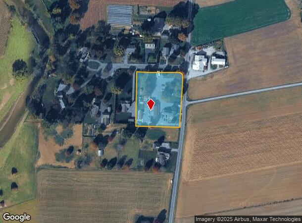
542 Gibbons Rd
360-67961-0-0000
542 GIBBONS RD
Storebuilding
Lancaster
X
Pennsylvania
42071C0395F
7
2024
1.92 AC
2025
Lancaster County
013101
Philadelphia
13,233 SF
Lancaster, PA
DEMOGRAPHICS near 542 Gibbons Rd
1 Mile
3 Mile
5 Mile
2024 Total Population
539
13,983
50,256
2029 Population
536
13,954
50,336
Pop Growth 2024-2029
(0.56%)
(0.21%)
+ 0.16%
Average Age
36
37
39
2024 Total Households
175
4,949
18,066
HH Growth 2024-2029
0.00%
(0.18%)
+ 0.22%
Median Household Inc
$70,588
$72,134
$85,559
Avg Household Size
2.90
2.70
2.70
2024 Avg HH Vehicles
2.00
2.00
2.00
Median Home Value
$341,304
$305,312
$295,378
Median Year Built
1971
1979
1978
Nearby Places
Map Layers
Map Styles
 Street
 Aerial
- Restaurants
- Banks
- Shops
- Fitness
- Groceries
PUBLIC TRANSPORTATION
COMMUTER RAIL
Lancaster (Keystone Service - Amtrak, Pennsylvanian - Amtrak)
DRIVE
WALK
Distance
Lancaster (Keystone Service - Amtrak, Pennsylvanian - Amtrak)
18 min
10.0 mi
Freight Ports
Port of Wilmington, RI
DRIVE
WALK
Distance
Port of Wilmington, RI
83 min
47.8 mi
Nearby Properties
Address
Land Use
TOTAL SIZE
Lot Size
Zoning
Address
Land Use
TOTAL SIZE
Lot Size
Zoning
403,771 SF
106.93 AC
Address
Land Use
TOTAL SIZE
Lot Size
Zoning
2,615,989 SF
147.50 AC
I
Address
Land Use
TOTAL SIZE
Lot Size
Zoning
610,108 SF
39.96 AC
C-2
Address
Land Use
TOTAL SIZE
Lot Size
Zoning
419,136 SF
34.11 AC
Address
Land Use
TOTAL SIZE
Lot Size
Zoning
322,380 SF
33.29 AC
R-3
Address
Land Use
TOTAL SIZE
Lot Size
Zoning
289,398 SF
35.20 AC
C-2
Address
Land Use
TOTAL SIZE
Lot Size
Zoning
21.41 AC
Address
Land Use
TOTAL SIZE
Lot Size
Zoning
125,153 SF
24.10 AC
Address
Land Use
TOTAL SIZE
Lot Size
Zoning
74,841 SF
16.20 AC
R-1
Address
Land Use
TOTAL SIZE
Lot Size
Zoning
251,051 SF
31.10 AC
R-3
Address
Land Use
TOTAL SIZE
Lot Size
Zoning
111,896 SF
8.30 AC
Address
Land Use
TOTAL SIZE
Lot Size
Zoning
19.29 AC
Address
Land Use
TOTAL SIZE
Lot Size
Zoning
70,314 SF
3.20 AC
C-2
Address
Land Use
TOTAL SIZE
Lot Size
Zoning
71,600 SF
15.20 AC
C-2
Address
Land Use
TOTAL SIZE
Lot Size
Zoning
103,083 SF
8.73 AC
A
Address
Land Use
TOTAL SIZE
Lot Size
Zoning
246,116 SF
16.30 AC
R-2
Address
Land Use
TOTAL SIZE
Lot Size
Zoning
142,393 SF
22 AC
I
Address
Land Use
TOTAL SIZE
Lot Size
Zoning
36,494 SF
7 AC
R-2
Address
Land Use
TOTAL SIZE
Lot Size
Zoning
82,718 SF
7.85 AC
I
Address
Land Use
TOTAL SIZE
Lot Size
Zoning
116,308 SF
12.30 AC
R-3
Address
Land Use
TOTAL SIZE
Lot Size
Zoning
122,854 SF
11.40 AC
R-2
Address
Land Use
TOTAL SIZE
Lot Size
Zoning
51,824 SF
2.33 AC
Address
Land Use
TOTAL SIZE
Lot Size
Zoning
105,946 SF
30.23 AC
I
Address
Land Use
TOTAL SIZE
Lot Size
Zoning
298,472 SF
160.06 AC
R
Address
Land Use
TOTAL SIZE
Lot Size
Zoning
123,614 SF
8.99 AC
C-2
Address
Land Use
TOTAL SIZE
Lot Size
Zoning
42,754 SF
1.92 AC
Address
Land Use
TOTAL SIZE
Lot Size
Zoning
53,275 SF
5.01 AC
C-2
Address
Land Use
TOTAL SIZE
Lot Size
Zoning
50,120 SF
2.60 AC
R-3
Address
Land Use
TOTAL SIZE
Lot Size
Zoning
155,342 SF
7.38 AC
Address
Land Use
TOTAL SIZE
Lot Size
Zoning
61,006 SF
2.78 AC
C-2
The World's #1 Commercial Real Estate Marketplace
Connect with us
© 2025 CoStar Group
The information above has been obtained from sources believed reliable. While we do not doubt its accuracy we have not verified it and make no guarantee, warranty or representation about it. It is your responsibility to independently confirm its accuracy and completeness. Any projections, opinions, assumptions, or estimates used are for example only and do not represent the current or future performance of the property. The value of this transaction to you depends on tax and other factors which should be evaluated by your tax, financial, and legal advisors. You and your advisors should conduct a careful, independent investigation of the property to determine to your satisfaction the suitability of the property for your needs.