Property Record
5435 W State Road 38, Pendleton, IN 46064

Save to a Folder
{{folder.Name}}
{{folder.ListingIds.length}} Properties
{{folder.ListingIds.length}} Property
Create a New Folder
Property Detail
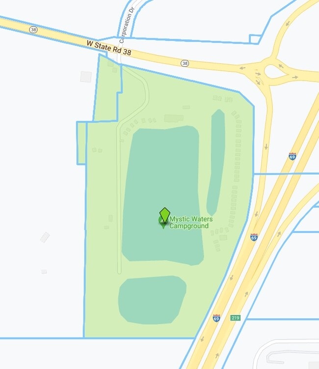
5435 W State Road 38
48-14-19-900-001.000-013
SW SE 32.6490ACRES STR: 18187 SECTION: PLAT: 00 IN: OUT:
Storebuilding
Madison
B and X Area of moderate flood hazard, usually the area between the limits of the 100-year and 500-year floods.
Indiana
2025
32.65 AC
2025
Anderson/Madison Cnty
011501
Indianapolis
3,210 SF
Indianapolis-Carmel-Greenwood, IN
NEARBY LISTINGS FOR SALE OR LEASE
-
-
View all Pendleton listings for sale on LoopNet.com
DEMOGRAPHICS near 5435 W State Road 38
1 mile
3 mile
5 mile
2025 Total Population
917
10,372
22,607
2030 Population
940
10,642
23,352
Pop Growth 2025-2030
+ 2.51%
+ 2.60%
+ 3.30%
Average Age
43
43
41
2025 Total Households
300
3,028
7,428
HH Growth 2025-2030
+ 2.67%
+ 3.37%
+ 3.77%
Median Household Inc
$74,117
$90,424
$92,910
Avg Household Size
2.40
2.40
2.60
2025 Avg HH Vehicles
2.00
2.00
2.00
Median Home Value
$280,555
$280,882
$276,858
Median Year Built
1986
1978
1991
Nearby Places
Map Layers
Map Styles
 Street
 Aerial
Layers
 Traffic
 Biking
Places
Listings with unknown addresses are not visible on the map
- Restaurants
- Banks
- Shops
- Fitness
- Groceries
SALE & LEASE HISTORY
LISTING DATE
SALE/LEASE

Sep 23, 2016
For Sale
Dec 30, 2016
For Sale
Nearby Properties
Address
Land Use
TOTAL SIZE
Lot Size
Zoning
Address
Land Use
TOTAL SIZE
Lot Size
Zoning
256,290 SF
77.35 AC
Address
Land Use
TOTAL SIZE
Lot Size
Zoning
727,832 SF
46.15 AC
Address
Land Use
TOTAL SIZE
Lot Size
Zoning
399,763 SF
40 AC
Address
Land Use
TOTAL SIZE
Lot Size
Zoning
117,536 SF
14.44 AC
Address
Land Use
TOTAL SIZE
Lot Size
Zoning
325,122 SF
40 AC
Address
Land Use
TOTAL SIZE
Lot Size
Zoning
160,230 SF
15 AC
Address
Land Use
TOTAL SIZE
Lot Size
Zoning
35,040 SF
11.40 AC
Address
Land Use
TOTAL SIZE
Lot Size
Zoning
32,361 SF
2.88 AC
Address
Land Use
TOTAL SIZE
Lot Size
Zoning
17,729 SF
6.62 AC
Address
Land Use
TOTAL SIZE
Lot Size
Zoning
18,780 SF
2.59 AC
Address
Land Use
TOTAL SIZE
Lot Size
Zoning
47,370 SF
11.23 AC
Address
Land Use
TOTAL SIZE
Lot Size
Zoning
17,729 SF
3.38 AC
Address
Land Use
TOTAL SIZE
Lot Size
Zoning
115,522 SF
20 AC
Address
Land Use
TOTAL SIZE
Lot Size
Zoning
60,000 SF
6.71 AC
Address
Land Use
TOTAL SIZE
Lot Size
Zoning
21,020 SF
1.15 AC
Address
Land Use
TOTAL SIZE
Lot Size
Zoning
30,560 SF
11.27 AC
Address
Land Use
TOTAL SIZE
Lot Size
Zoning
6,660 SF
1.39 AC
Address
Land Use
TOTAL SIZE
Lot Size
Zoning
5,469 SF
2.67 AC
Address
Land Use
TOTAL SIZE
Lot Size
Zoning
6,400 SF
15.72 AC
Address
Land Use
TOTAL SIZE
Lot Size
Zoning
10,771 SF
1.78 AC
Address
Land Use
TOTAL SIZE
Lot Size
Zoning
8,245 SF
8.66 AC
Address
Land Use
TOTAL SIZE
Lot Size
Zoning
4,676 SF
4.74 AC
Address
Land Use
TOTAL SIZE
Lot Size
Zoning
27,400 SF
0.32 AC
Address
Land Use
TOTAL SIZE
Lot Size
Zoning
2,880 SF
0.28 AC
Address
Land Use
TOTAL SIZE
Lot Size
Zoning
20.70 AC
Address
Land Use
TOTAL SIZE
Lot Size
Zoning
4,769 SF
2.92 AC
Address
Land Use
TOTAL SIZE
Lot Size
Zoning
17,580 SF
5 AC
Address
Land Use
TOTAL SIZE
Lot Size
Zoning
2,860 SF
2.23 AC
Address
Land Use
TOTAL SIZE
Lot Size
Zoning
24,010 SF
1.03 AC
The World's #1 Commercial Real Estate Marketplace
Connect with us
© 2026 CoStar Group
The information above has been obtained from sources believed reliable. While we do not doubt its accuracy we have not verified it and make no guarantee, warranty or representation about it. It is your responsibility to independently confirm its accuracy and completeness. Any projections, opinions, assumptions, or estimates used are for example only and do not represent the current or future performance of the property. The value of this transaction to you depends on tax and other factors which should be evaluated by your tax, financial, and legal advisors. You and your advisors should conduct a careful, independent investigation of the property to determine to your satisfaction the suitability of the property for your needs.