Property Record
5495 Traffic Way, Atascadero, CA 93422

Save to a Folder
{{folder.Name}}
{{folder.ListingIds.length}} Properties
{{folder.ListingIds.length}} Property
Create a New Folder
Property Detail
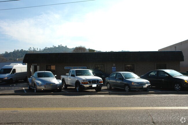
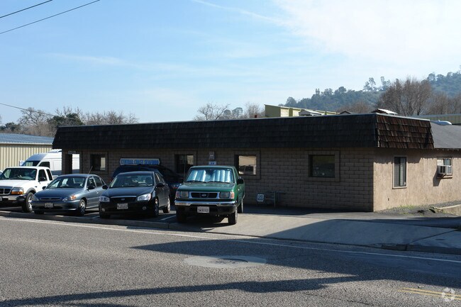
5495 Traffic Way
028-361-032
PM 46-24 PAR 1 LESS MIN RTS
Lightindustrial
San Luis Obispo
I
California
C and X Area of minimal flood hazard, usually depicted on FIRMs as above the 500-year flood level.
0.62 AC
2024
North 101 Corridor
2025
San Luis Obispo/Paso Robles
012502
San Luis Obispo-Paso Robles, CA
11,201 SF
NEARBY LISTINGS FOR SALE OR LEASE
DEMOGRAPHICS near 5495 Traffic Way
1 mile
3 mile
5 mile
2025 Total Population
7,109
23,127
35,611
2030 Population
6,998
22,688
34,944
Pop Growth 2025-2030
(1.56%)
(1.90%)
(1.87%)
Average Age
40
42
42
2025 Total Households
2,742
8,930
13,603
HH Growth 2025-2030
(1.90%)
(2.19%)
(2.16%)
Median Household Inc
$94,073
$94,419
$96,869
Avg Household Size
2.50
2.50
2.50
2025 Avg HH Vehicles
2.00
2.00
2.00
Median Home Value
$693,266
$733,658
$764,682
Median Year Built
1975
1978
1982
Nearby Places
Map Layers
Map Styles
 Street
 Aerial
Layers
 Traffic
 Biking
Places
Listings with unknown addresses are not visible on the map
- Restaurants
- Banks
- Shops
- Fitness
- Groceries
PUBLIC TRANSPORTATION
AIRPORT
San Luis County Regional
Drive
Walk
Distance
San Luis County Regional
33 min
23.8 mi
Freight Ports
The Port of Hueneme
Drive
Walk
Distance
The Port of Hueneme
190 min
150.8 mi
SALE & LEASE HISTORY
LISTING DATE
SALE/LEASE

Jan 18, 2017
For Sale
Nearby Properties
Address
Land Use
TOTAL SIZE
Lot Size
Zoning
Address
Land Use
TOTAL SIZE
Lot Size
Zoning
1.78 AC
CPK
Address
Land Use
TOTAL SIZE
Lot Size
Zoning
57,534 SF
6.10 AC
CR
Address
Land Use
TOTAL SIZE
Lot Size
Zoning
89,617 SF
6.97 AC
CPK
Address
Land Use
TOTAL SIZE
Lot Size
Zoning
12 AC
CPK
Address
Land Use
TOTAL SIZE
Lot Size
Zoning
49,652 SF
3.84 AC
CR
Address
Land Use
TOTAL SIZE
Lot Size
Zoning
18,800 SF
0.45 AC
DC
Address
Land Use
TOTAL SIZE
Lot Size
Zoning
39,765 SF
2.43 AC
CR
Address
Land Use
TOTAL SIZE
Lot Size
Zoning
7,114 SF
32.04 AC
AG
Address
Land Use
TOTAL SIZE
Lot Size
Zoning
14,932 SF
0.64 AC
DC
Address
Land Use
TOTAL SIZE
Lot Size
Zoning
2.94 AC
CR
Address
Land Use
TOTAL SIZE
Lot Size
Zoning
42,993 SF
1.72 AC
CR
Address
Land Use
TOTAL SIZE
Lot Size
Zoning
30,992 SF
2.05 AC
CT
Address
Land Use
TOTAL SIZE
Lot Size
Zoning
34,661 SF
1.57 AC
MF20
Address
Land Use
TOTAL SIZE
Lot Size
Zoning
15.05 AC
RSFY
Address
Land Use
TOTAL SIZE
Lot Size
Zoning
82,131 SF
2.95 AC
MF20
Address
Land Use
TOTAL SIZE
Lot Size
Zoning
0.91 AC
CP
Address
Land Use
TOTAL SIZE
Lot Size
Zoning
3.94 AC
CR
Address
Land Use
TOTAL SIZE
Lot Size
Zoning
Address
Land Use
TOTAL SIZE
Lot Size
Zoning
59,321 SF
3.92 AC
P
Address
Land Use
TOTAL SIZE
Lot Size
Zoning
151.15 AC
AG
Address
Land Use
TOTAL SIZE
Lot Size
Zoning
18,000 SF
0.91 AC
CT
Address
Land Use
TOTAL SIZE
Lot Size
Zoning
2.33 AC
CR
Address
Land Use
TOTAL SIZE
Lot Size
Zoning
21,814 SF
33.47 AC
CR
Address
Land Use
TOTAL SIZE
Lot Size
Zoning
1.64 AC
CR
Address
Land Use
TOTAL SIZE
Lot Size
Zoning
17,161 SF
1.38 AC
CP
Address
Land Use
TOTAL SIZE
Lot Size
Zoning
69,680 SF
5.69 AC
CR
Address
Land Use
TOTAL SIZE
Lot Size
Zoning
30,829 SF
3.27 AC
CR
Address
Land Use
TOTAL SIZE
Lot Size
Zoning
3.21 AC
CR
Address
Land Use
TOTAL SIZE
Lot Size
Zoning
15,168 SF
0.64 AC
CR
Address
Land Use
TOTAL SIZE
Lot Size
Zoning
2.12 AC
CR
The World's #1 Commercial Real Estate Marketplace
Connect with us
© 2026 CoStar Group
The information above has been obtained from sources believed reliable. While we do not doubt its accuracy we have not verified it and make no guarantee, warranty or representation about it. It is your responsibility to independently confirm its accuracy and completeness. Any projections, opinions, assumptions, or estimates used are for example only and do not represent the current or future performance of the property. The value of this transaction to you depends on tax and other factors which should be evaluated by your tax, financial, and legal advisors. You and your advisors should conduct a careful, independent investigation of the property to determine to your satisfaction the suitability of the property for your needs.