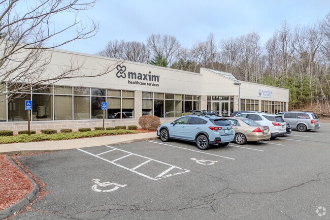
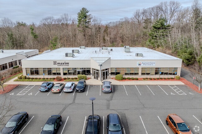
Property Record
55 Bobala Rd, Holyoke, MA 01040

Property Detail
55 Bobala Rd
HOLY-000176-000000-000004B
Hampden
Commercialnec
Massachusetts
IP
4b
C and X Area of minimal flood hazard, usually depicted on FIRMs as above the 500-year flood level.
5.97 AC
2024
Hampden County
2025
Hartford
812101
Springfield, MA
NEARBY LISTINGS FOR SALE OR LEASE
DEMOGRAPHICS near 55 Bobala Rd
1 mile
3 mile
5 mile
2025 Total Population
2,213
43,815
151,313
2030 Population
2,217
43,588
150,755
Pop Growth 2025-2030
+ 0.18%
(0.52%)
(0.37%)
Average Age
45
42
41
2025 Total Households
937
18,441
62,476
HH Growth 2025-2030
+ 0.11%
(0.54%)
(0.37%)
Median Household Inc
$62,269
$61,415
$59,116
Avg Household Size
2.10
2.30
2.30
2025 Avg HH Vehicles
1.00
2.00
1.00
Median Home Value
$295,491
$296,962
$287,398
Median Year Built
1967
1956
1954
Nearby Places
Map Layers
Map Styles
 Street
 Aerial
Layers
 Traffic
 Biking
Places
Listings with unknown addresses are not visible on the map
- Restaurants
- Banks
- Shops
- Fitness
- Groceries
PUBLIC TRANSPORTATION
COMMUTER RAIL
Drive
Walk
Distance
11 min
4.4 mi
Drive
Walk
Distance
12 min
7.5 mi
AIRPORT
Bradley International
Drive
Walk
Distance
Bradley International
41 min
19.2 mi
SALE & LEASE HISTORY
LISTING DATE
SALE/LEASE

Mar 22, 2021
For Lease
Dec 01, 2017
For Lease
Nearby Properties
Address
Land Use
TOTAL SIZE
Lot Size
Zoning
Address
Land Use
TOTAL SIZE
Lot Size
Zoning
50.97 AC
BH
Address
Land Use
TOTAL SIZE
Lot Size
Zoning
22.15 AC
R-1A
Address
Land Use
TOTAL SIZE
Lot Size
Zoning
29.88 AC
105
Address
Land Use
TOTAL SIZE
Lot Size
Zoning
189,022 SF
10.62 AC
RA
Address
Land Use
TOTAL SIZE
Lot Size
Zoning
3.80 AC
Address
Land Use
TOTAL SIZE
Lot Size
Zoning
138,504 SF
13.18 AC
RO
Address
Land Use
TOTAL SIZE
Lot Size
Zoning
17.72 AC
R-2
Address
Land Use
TOTAL SIZE
Lot Size
Zoning
128,877 SF
28.75 AC
Address
Land Use
TOTAL SIZE
Lot Size
Zoning
1.50 AC
105
Address
Land Use
TOTAL SIZE
Lot Size
Zoning
12.90 AC
IP
Address
Land Use
TOTAL SIZE
Lot Size
Zoning
17.64 AC
105
Address
Land Use
TOTAL SIZE
Lot Size
Zoning
73,512 SF
5.54 AC
Address
Land Use
TOTAL SIZE
Lot Size
Zoning
136,654 SF
11.71 AC
BG
Address
Land Use
TOTAL SIZE
Lot Size
Zoning
8.16 AC
RM40
Address
Land Use
TOTAL SIZE
Lot Size
Zoning
16.38 AC
RA
Address
Land Use
TOTAL SIZE
Lot Size
Zoning
72,239 SF
13.87 AC
R-1A
Address
Land Use
TOTAL SIZE
Lot Size
Zoning
908.80 AC
RA
Address
Land Use
TOTAL SIZE
Lot Size
Zoning
161,029 SF
9.97 AC
RA
Address
Land Use
TOTAL SIZE
Lot Size
Zoning
35,508 SF
5.95 AC
Address
Land Use
TOTAL SIZE
Lot Size
Zoning
127,935 SF
13.05 AC
Address
Land Use
TOTAL SIZE
Lot Size
Zoning
138,289 SF
22.79 AC
IG
Address
Land Use
TOTAL SIZE
Lot Size
Zoning
19,144 SF
5.42 AC
Address
Land Use
TOTAL SIZE
Lot Size
Zoning
207,672 SF
18.62 AC
IP
Address
Land Use
TOTAL SIZE
Lot Size
Zoning
124,266 SF
11.44 AC
Address
Land Use
TOTAL SIZE
Lot Size
Zoning
4.66 AC
105
Address
Land Use
TOTAL SIZE
Lot Size
Zoning
50,912 SF
12.53 AC
Address
Land Use
TOTAL SIZE
Lot Size
Zoning
196,705 SF
21.45 AC
RM20
Address
Land Use
TOTAL SIZE
Lot Size
Zoning
201,410 SF
13.16 AC
RM20
Address
Land Use
TOTAL SIZE
Lot Size
Zoning
191,133 SF
12.28 AC
RM-2
Address
Land Use
TOTAL SIZE
Lot Size
Zoning
45,984 SF
8.98 AC
The World's #1 Commercial Real Estate Marketplace
Connect with us
© 2026 CoStar Group
The information above has been obtained from sources believed reliable. While we do not doubt its accuracy we have not verified it and make no guarantee, warranty or representation about it. It is your responsibility to independently confirm its accuracy and completeness. Any projections, opinions, assumptions, or estimates used are for example only and do not represent the current or future performance of the property. The value of this transaction to you depends on tax and other factors which should be evaluated by your tax, financial, and legal advisors. You and your advisors should conduct a careful, independent investigation of the property to determine to your satisfaction the suitability of the property for your needs.