Property Record
550 E Springfield Rd, Arcola, IL 61910

Property Detail
550 E Springfield Rd
01-14-10-100-007
S10 T14 R8 205'X230'N SIDE NW NW(LESS N15' RT133 ROW)
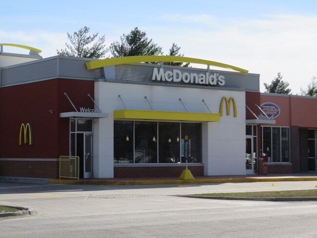
Officebuilding
DOUGLAS
B and X Area of moderate flood hazard, usually the area between the limits of the 100-year and 500-year floods.
Illinois
2024
1.08 AC
2024
Effingham/Central Illinois Area
952400
Other Market Areas
4,984 SF
NEARBY LISTINGS FOR SALE OR LEASE
-
-
View all Arcola listings for sale on LoopNet.com
DEMOGRAPHICS near 550 E Springfield Rd
1 mile
3 mile
5 mile
2025 Total Population
2,968
3,421
4,223
2030 Population
3,038
3,503
4,263
Pop Growth 2025-2030
+ 2.36%
+ 2.40%
+ 0.95%
Average Age
40
40
39
2025 Total Households
1,088
1,260
1,503
HH Growth 2025-2030
+ 2.21%
+ 2.30%
+ 1.20%
Median Household Inc
$81,250
$81,175
$81,892
Avg Household Size
2.60
2.60
2.60
2025 Avg HH Vehicles
2.00
2.00
2.00
Median Home Value
$140,532
$140,852
$149,549
Median Year Built
1971
1972
1974
Nearby Places
Map Layers
Map Styles
 Street
 Aerial
Layers
 Traffic
 Biking
Places
Listings with unknown addresses are not visible on the map
- Restaurants
- Banks
- Shops
- Fitness
- Groceries
PUBLIC TRANSPORTATION
AIRPORT
University of Illinois/Willard
Drive
Walk
Distance
University of Illinois/Willard
37 min
27.7 mi
Nearby Properties
Address
Land Use
TOTAL SIZE
Lot Size
Zoning
Address
Land Use
TOTAL SIZE
Lot Size
Zoning
54,748 SF
3.87 AC
Address
Land Use
TOTAL SIZE
Lot Size
Zoning
43,422 SF
6.14 AC
Address
Land Use
TOTAL SIZE
Lot Size
Zoning
95,705 SF
5.20 AC
Address
Land Use
TOTAL SIZE
Lot Size
Zoning
7,168 SF
0.26 AC
Address
Land Use
TOTAL SIZE
Lot Size
Zoning
75,000 SF
7.50 AC
Address
Land Use
TOTAL SIZE
Lot Size
Zoning
24,535 SF
2.89 AC
Address
Land Use
TOTAL SIZE
Lot Size
Zoning
12,480 SF
1.36 AC
Address
Land Use
TOTAL SIZE
Lot Size
Zoning
19,056 SF
0.96 AC
Address
Land Use
TOTAL SIZE
Lot Size
Zoning
62,250 SF
5.56 AC
Address
Land Use
TOTAL SIZE
Lot Size
Zoning
0.86 AC
Address
Land Use
TOTAL SIZE
Lot Size
Zoning
38,400 SF
5.08 AC
Address
Land Use
TOTAL SIZE
Lot Size
Zoning
15,008 SF
1.50 AC
Address
Land Use
TOTAL SIZE
Lot Size
Zoning
1,451 SF
1.66 AC
Address
Land Use
TOTAL SIZE
Lot Size
Zoning
15,169 SF
8.26 AC
Address
Land Use
TOTAL SIZE
Lot Size
Zoning
19,000 SF
1.92 AC
Address
Land Use
TOTAL SIZE
Lot Size
Zoning
91,140 SF
2.57 AC
Address
Land Use
TOTAL SIZE
Lot Size
Zoning
1,282 SF
0.37 AC
Address
Land Use
TOTAL SIZE
Lot Size
Zoning
1,897 SF
0.37 AC
Address
Land Use
TOTAL SIZE
Lot Size
Zoning
690 SF
7.45 AC
Address
Land Use
TOTAL SIZE
Lot Size
Zoning
4,543 SF
0.73 AC
Address
Land Use
TOTAL SIZE
Lot Size
Zoning
6.30 AC
Address
Land Use
TOTAL SIZE
Lot Size
Zoning
0.59 AC
Address
Land Use
TOTAL SIZE
Lot Size
Zoning
21,120 SF
4.11 AC
Address
Land Use
TOTAL SIZE
Lot Size
Zoning
3,480 SF
0.40 AC
Address
Land Use
TOTAL SIZE
Lot Size
Zoning
4,685 SF
1.19 AC
Address
Land Use
TOTAL SIZE
Lot Size
Zoning
13,984 SF
1.47 AC
Address
Land Use
TOTAL SIZE
Lot Size
Zoning
8,640 SF
8 AC
The World's #1 Commercial Real Estate Marketplace
Connect with us
© 2026 CoStar Group
The information above has been obtained from sources believed reliable. While we do not doubt its accuracy we have not verified it and make no guarantee, warranty or representation about it. It is your responsibility to independently confirm its accuracy and completeness. Any projections, opinions, assumptions, or estimates used are for example only and do not represent the current or future performance of the property. The value of this transaction to you depends on tax and other factors which should be evaluated by your tax, financial, and legal advisors. You and your advisors should conduct a careful, independent investigation of the property to determine to your satisfaction the suitability of the property for your needs.