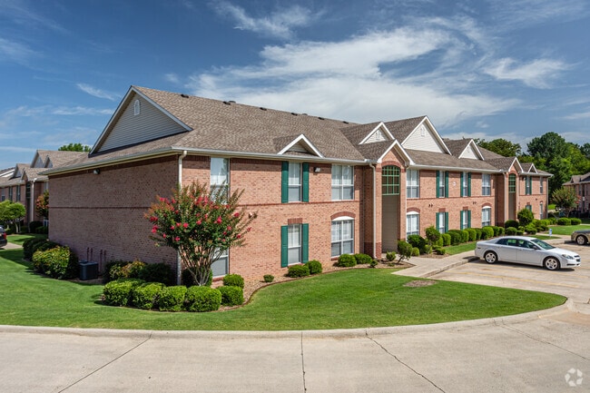
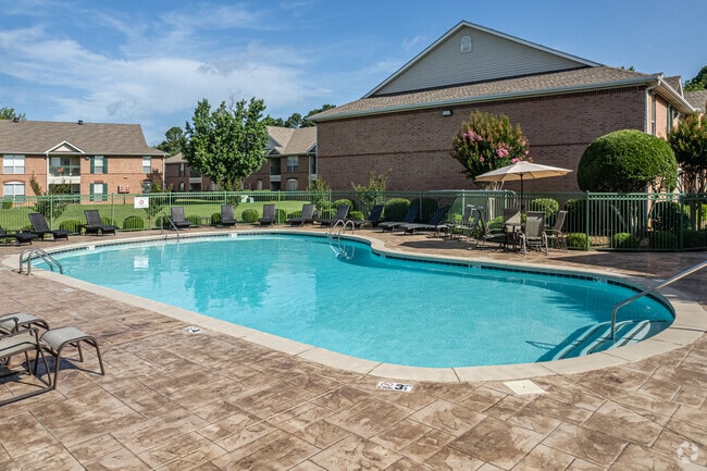
Property Record
550 Files Rd, Hot Springs National Park, AR 71913
NEARBY LISTINGS FOR SALE OR LEASE
-
-
View all Hot Springs National Park listings for sale on LoopNet.com
Property Detail
550 Files Rd
300-08116-000
W Unplatted Hot Springs
Commercialnec
PT SE NW & PT NE SW (PHASE I)
X
Garland
05059C0175C
Arkansas
2025
6 AC
2025
Arkansas South Area
011801
Other Market Areas
105,742 SF
Hot Springs, AR
DEMOGRAPHICS near 550 Files Rd
1 Mile
3 Mile
5 Mile
2024 Total Population
2,951
27,690
56,123
2029 Population
2,957
27,998
56,669
Pop Growth 2024-2029
+ 0.20%
+ 1.11%
+ 0.97%
Average Age
49
45
44
2024 Total Households
1,635
12,621
24,625
HH Growth 2024-2029
+ 0.06%
+ 1.15%
+ 0.98%
Median Household Inc
$50,823
$47,746
$47,128
Avg Household Size
1.80
2.10
2.20
2024 Avg HH Vehicles
2.00
2.00
2.00
Median Home Value
$182,856
$171,652
$177,489
Median Year Built
1992
1976
1977
Nearby Places
Map Layers
Map Styles
 Street
 Aerial
- Restaurants
- Banks
- Shops
- Fitness
- Groceries
Nearby Properties
Address
Land Use
TOTAL SIZE
Lot Size
Zoning
Address
Land Use
TOTAL SIZE
Lot Size
Zoning
404,996 SF
131.86 AC
Address
Land Use
TOTAL SIZE
Lot Size
Zoning
167,811 SF
12.88 AC
Address
Land Use
TOTAL SIZE
Lot Size
Zoning
67,373 SF
25.17 AC
Address
Land Use
TOTAL SIZE
Lot Size
Zoning
30,166 SF
18.45 AC
Address
Land Use
TOTAL SIZE
Lot Size
Zoning
223,936 SF
40.74 AC
Address
Land Use
TOTAL SIZE
Lot Size
Zoning
59,966 SF
15.96 AC
Address
Land Use
TOTAL SIZE
Lot Size
Zoning
60,712 SF
7.82 AC
Address
Land Use
TOTAL SIZE
Lot Size
Zoning
212,144 SF
14.42 AC
Address
Land Use
TOTAL SIZE
Lot Size
Zoning
99,432 SF
4.55 AC
Address
Land Use
TOTAL SIZE
Lot Size
Zoning
Address
Land Use
TOTAL SIZE
Lot Size
Zoning
138,412 SF
13.27 AC
Address
Land Use
TOTAL SIZE
Lot Size
Zoning
82,416 SF
18.92 AC
Address
Land Use
TOTAL SIZE
Lot Size
Zoning
25,754 SF
7.87 AC
Address
Land Use
TOTAL SIZE
Lot Size
Zoning
25,473 SF
4.44 AC
Address
Land Use
TOTAL SIZE
Lot Size
Zoning
199,618 SF
8.79 AC
Address
Land Use
TOTAL SIZE
Lot Size
Zoning
133,720 SF
12.74 AC
Address
Land Use
TOTAL SIZE
Lot Size
Zoning
52,458 SF
2.68 AC
Address
Land Use
TOTAL SIZE
Lot Size
Zoning
Address
Land Use
TOTAL SIZE
Lot Size
Zoning
40,332 SF
5.07 AC
Address
Land Use
TOTAL SIZE
Lot Size
Zoning
51,493 SF
9.14 AC
Address
Land Use
TOTAL SIZE
Lot Size
Zoning
68,470 SF
11.54 AC
Address
Land Use
TOTAL SIZE
Lot Size
Zoning
27,512 SF
16.06 AC
Address
Land Use
TOTAL SIZE
Lot Size
Zoning
61,926 SF
4.66 AC
Address
Land Use
TOTAL SIZE
Lot Size
Zoning
103,680 SF
5.02 AC
Address
Land Use
TOTAL SIZE
Lot Size
Zoning
55,076 SF
2.27 AC
Address
Land Use
TOTAL SIZE
Lot Size
Zoning
42,144 SF
4.98 AC
Address
Land Use
TOTAL SIZE
Lot Size
Zoning
552 SF
100.22 AC
Address
Land Use
TOTAL SIZE
Lot Size
Zoning
54,140 SF
1.27 AC
Address
Land Use
TOTAL SIZE
Lot Size
Zoning
63,122 SF
2.94 AC
The World's #1 Commercial Real Estate Marketplace
Connect with us
© 2026 CoStar Group
The information above has been obtained from sources believed reliable. While we do not doubt its accuracy we have not verified it and make no guarantee, warranty or representation about it. It is your responsibility to independently confirm its accuracy and completeness. Any projections, opinions, assumptions, or estimates used are for example only and do not represent the current or future performance of the property. The value of this transaction to you depends on tax and other factors which should be evaluated by your tax, financial, and legal advisors. You and your advisors should conduct a careful, independent investigation of the property to determine to your satisfaction the suitability of the property for your needs.