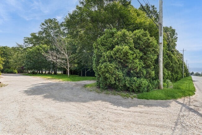
Property Record
550 Herricks Ln, Riverhead, NY 11901

Current Lease Availabilities
Property Detail
550 Herricks Ln
Nassau County-Suffolk County, NY
N& EX STOLL SX LEBKUECHERW X HERRICKS LA 17 STOLL DR
0600-022-00-03-00-002-000
SUFFOLK
Agriculturalland
New York
04
2
B and X Area of moderate flood hazard, usually the area between the limits of the 100-year and 500-year floods.
5 AC
2024
Eastern Suffolk
2025
Long Island (New York)
169906
NEARBY LISTINGS FOR SALE OR LEASE
DEMOGRAPHICS near 550 Herricks Ln
1 mile
3 mile
5 mile
2025 Total Population
330
8,377
20,464
2030 Population
324
8,456
20,775
Pop Growth 2025-2030
(1.82%)
+ 0.94%
+ 1.52%
Average Age
47
47
44
2025 Total Households
128
3,314
7,684
HH Growth 2025-2030
(2.34%)
+ 0.63%
+ 1.22%
Median Household Inc
$113,888
$117,626
$107,132
Avg Household Size
2.50
2.40
2.60
2025 Avg HH Vehicles
2.00
2.00
2.00
Median Home Value
$739,726
$786,918
$695,895
Median Year Built
1989
1978
1979
Nearby Places
Map Layers
Map Styles
 Street
 Aerial
Layers
 Traffic
 Biking
Places
Listings with unknown addresses are not visible on the map
- Restaurants
- Banks
- Shops
- Fitness
- Groceries
PUBLIC TRANSPORTATION
COMMUTER RAIL
Mattituck Station (Greenport Branch - Long Island Rail Road)
Drive
Walk
Distance
Mattituck Station (Greenport Branch - Long Island Rail Road)
6 min
3.9 mi
Riverhead Station (Greenport Branch - Long Island Rail Road)
Drive
Walk
Distance
Riverhead Station (Greenport Branch - Long Island Rail Road)
14 min
7.5 mi
AIRPORT
Long Island MacArthur
Drive
Walk
Distance
Long Island MacArthur
56 min
35.3 mi
Freight Ports
Port of New Haven
Drive
Walk
Distance
Port of New Haven
155 min
64.2 mi
Nearby Properties
Address
Land Use
TOTAL SIZE
Lot Size
Zoning
Address
Land Use
TOTAL SIZE
Lot Size
Zoning
214.30 AC
10
Address
Land Use
TOTAL SIZE
Lot Size
Zoning
113,634 SF
27.49 AC
04
Address
Land Use
TOTAL SIZE
Lot Size
Zoning
29.93 AC
RA80
Address
Land Use
TOTAL SIZE
Lot Size
Zoning
1,688 SF
34.47 AC
09
Address
Land Use
TOTAL SIZE
Lot Size
Zoning
5.01 AC
10
Address
Land Use
TOTAL SIZE
Lot Size
Zoning
5,338 SF
159.30 AC
4
Address
Land Use
TOTAL SIZE
Lot Size
Zoning
172.90 AC
RA80
Address
Land Use
TOTAL SIZE
Lot Size
Zoning
2,600 SF
27.30 AC
RB80
Address
Land Use
TOTAL SIZE
Lot Size
Zoning
11.39 AC
10
Address
Land Use
TOTAL SIZE
Lot Size
Zoning
1,980 SF
63.11 AC
09
Address
Land Use
TOTAL SIZE
Lot Size
Zoning
13,943 SF
4.40 AC
04
Address
Land Use
TOTAL SIZE
Lot Size
Zoning
65.10 AC
10
Address
Land Use
TOTAL SIZE
Lot Size
Zoning
2,928 SF
85.90 AC
04
Address
Land Use
TOTAL SIZE
Lot Size
Zoning
10,876 SF
4.80 AC
04
Address
Land Use
TOTAL SIZE
Lot Size
Zoning
2,588 SF
107.80 AC
03
Address
Land Use
TOTAL SIZE
Lot Size
Zoning
8,891 SF
2.91 AC
4
Address
Land Use
TOTAL SIZE
Lot Size
Zoning
126.66 AC
Address
Land Use
TOTAL SIZE
Lot Size
Zoning
24,898 SF
3.80 AC
4
Address
Land Use
TOTAL SIZE
Lot Size
Zoning
392 SF
52.39 AC
09
Address
Land Use
TOTAL SIZE
Lot Size
Zoning
4,487 SF
11.83 AC
03
Address
Land Use
TOTAL SIZE
Lot Size
Zoning
2,302 SF
26.20 AC
09
Address
Land Use
TOTAL SIZE
Lot Size
Zoning
1.50 AC
4
Address
Land Use
TOTAL SIZE
Lot Size
Zoning
2,948 SF
5.50 AC
RA80
Address
Land Use
TOTAL SIZE
Lot Size
Zoning
2,832 SF
9.23 AC
04
Address
Land Use
TOTAL SIZE
Lot Size
Zoning
12,450 SF
11.65 AC
05
Address
Land Use
TOTAL SIZE
Lot Size
Zoning
4,288 SF
33.20 AC
04
Address
Land Use
TOTAL SIZE
Lot Size
Zoning
4,800 SF
1 AC
RB80
Address
Land Use
TOTAL SIZE
Lot Size
Zoning
3.87 AC
RA80
Address
Land Use
TOTAL SIZE
Lot Size
Zoning
9,230 SF
19.70 AC
04
Address
Land Use
TOTAL SIZE
Lot Size
Zoning
7,013 SF
2.34 AC
04
The World's #1 Commercial Real Estate Marketplace
Connect with us
© 2026 CoStar Group
The information above has been obtained from sources believed reliable. While we do not doubt its accuracy we have not verified it and make no guarantee, warranty or representation about it. It is your responsibility to independently confirm its accuracy and completeness. Any projections, opinions, assumptions, or estimates used are for example only and do not represent the current or future performance of the property. The value of this transaction to you depends on tax and other factors which should be evaluated by your tax, financial, and legal advisors. You and your advisors should conduct a careful, independent investigation of the property to determine to your satisfaction the suitability of the property for your needs.