Property Record
550 Southern Sage Loop, Cary, NC 27518
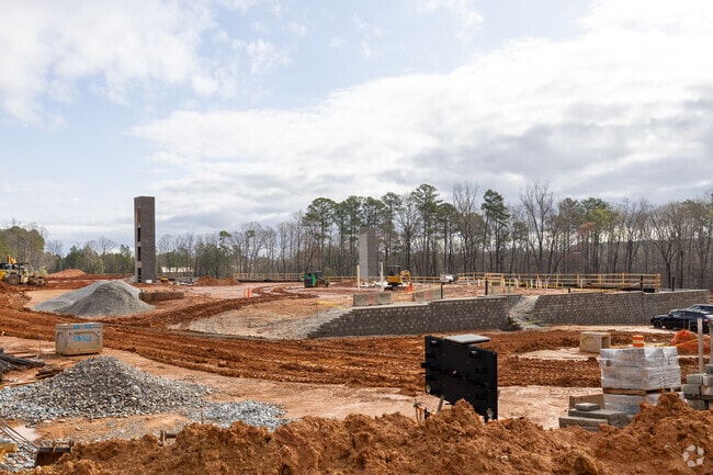


Property Detail
550 Southern Sage Loop
0772.06-49-7496-000
GR PT TEMPLETON LAND
Apartment
WAKE
OIP
North Carolina
B and X Area of moderate flood hazard, usually the area between the limits of the 100-year and 500-year floods.
23.75 AC
2024
Cary Crossroads/Apex
2025
Raleigh/Durham
053004
Raleigh-Cary, NC
286,356 SF
NEARBY LISTINGS FOR SALE OR LEASE
DEMOGRAPHICS near 550 Southern Sage Loop
1 mile
3 mile
5 mile
2025 Total Population
9,046
71,114
186,386
2030 Population
9,720
76,657
200,479
Pop Growth 2025-2030
+ 7.45%
+ 7.79%
+ 7.56%
Average Age
39
40
38
2025 Total Households
4,283
31,527
76,347
HH Growth 2025-2030
+ 7.92%
+ 8.25%
+ 8.25%
Median Household Inc
$88,715
$90,456
$93,975
Avg Household Size
2.10
2.20
2.30
2025 Avg HH Vehicles
2.00
2.00
2.00
Median Home Value
$480,957
$492,850
$524,278
Median Year Built
1999
1991
1993
Nearby Places
Map Layers
Map Styles
 Street
 Aerial
Layers
 Traffic
 Biking
Places
Listings with unknown addresses are not visible on the map
- Restaurants
- Banks
- Shops
- Fitness
- Groceries
PUBLIC TRANSPORTATION
COMMUTER RAIL
Cary Station (Piedmont - North Carolina by Train (NC Train))
Drive
Walk
Distance
Cary Station (Piedmont - North Carolina by Train (NC Train))
9 min
3.9 mi
Raleigh Union Station (Piedmont - North Carolina by Train (NC Train))
Drive
Walk
Distance
Raleigh Union Station (Piedmont - North Carolina by Train (NC Train))
13 min
7.1 mi
AIRPORT
Raleigh-Durham International
Drive
Walk
Distance
Raleigh-Durham International
21 min
12.2 mi
Freight Ports
Port of Wilmington
Drive
Walk
Distance
Port of Wilmington
160 min
138.4 mi
Nearby Properties
Address
Land Use
TOTAL SIZE
Lot Size
Zoning
Address
Land Use
TOTAL SIZE
Lot Size
Zoning
693,180 SF
17.61 AC
GCM
Address
Land Use
TOTAL SIZE
Lot Size
Zoning
633,930 SF
23.01 AC
OI
Address
Land Use
TOTAL SIZE
Lot Size
Zoning
439,439 SF
30.59 AC
OICU
Address
Land Use
TOTAL SIZE
Lot Size
Zoning
433,914 SF
11.81 AC
MXD
Address
Land Use
TOTAL SIZE
Lot Size
Zoning
441,502 SF
15.42 AC
OIM
Address
Land Use
TOTAL SIZE
Lot Size
Zoning
395,263 SF
6.07 AC
CX-5
Address
Land Use
TOTAL SIZE
Lot Size
Zoning
392,141 SF
24.49 AC
RMFM
Address
Land Use
TOTAL SIZE
Lot Size
Zoning
220,152 SF
67.76 AC
OIM
Address
Land Use
TOTAL SIZE
Lot Size
Zoning
402,447 SF
49.88 AC
GC
Address
Land Use
TOTAL SIZE
Lot Size
Zoning
359,022 SF
21.46 AC
OX-3
Address
Land Use
TOTAL SIZE
Lot Size
Zoning
435,090 SF
28.82 AC
RMFP
Address
Land Use
TOTAL SIZE
Lot Size
Zoning
357,293 SF
25.23 AC
RX-3
Address
Land Use
TOTAL SIZE
Lot Size
Zoning
387,626 SF
18.48 AC
RMFM
Address
Land Use
TOTAL SIZE
Lot Size
Zoning
382,324 SF
14.85 AC
OX-7
Address
Land Use
TOTAL SIZE
Lot Size
Zoning
341,943 SF
19.49 AC
RMFP
Address
Land Use
TOTAL SIZE
Lot Size
Zoning
290,022 SF
14.76 AC
RX-3
Address
Land Use
TOTAL SIZE
Lot Size
Zoning
314,623 SF
49.66 AC
R-10
Address
Land Use
TOTAL SIZE
Lot Size
Zoning
194,462 SF
21.62 AC
OICU
Address
Land Use
TOTAL SIZE
Lot Size
Zoning
315,936 SF
20.45 AC
RX-3
Address
Land Use
TOTAL SIZE
Lot Size
Zoning
229,999 SF
7.83 AC
CX-3
Address
Land Use
TOTAL SIZE
Lot Size
Zoning
319,271 SF
38.96 AC
R12
Address
Land Use
TOTAL SIZE
Lot Size
Zoning
2,740 SF
400.73 AC
AP
Address
Land Use
TOTAL SIZE
Lot Size
Zoning
260,777 SF
22.54 AC
GCCU
Address
Land Use
TOTAL SIZE
Lot Size
Zoning
263,138 SF
25 AC
R-10
Address
Land Use
TOTAL SIZE
Lot Size
Zoning
285,176 SF
31.09 AC
RMF
Address
Land Use
TOTAL SIZE
Lot Size
Zoning
270,753 SF
20.56 AC
RMFP
Address
Land Use
TOTAL SIZE
Lot Size
Zoning
185,064 SF
1.56 AC
GCP
Address
Land Use
TOTAL SIZE
Lot Size
Zoning
249,216 SF
39.88 AC
R-10
Address
Land Use
TOTAL SIZE
Lot Size
Zoning
172,976 SF
12.55 AC
RMFM
Address
Land Use
TOTAL SIZE
Lot Size
Zoning
267,549 SF
28.45 AC
R-10
The World's #1 Commercial Real Estate Marketplace
Connect with us
© 2026 CoStar Group
The information above has been obtained from sources believed reliable. While we do not doubt its accuracy we have not verified it and make no guarantee, warranty or representation about it. It is your responsibility to independently confirm its accuracy and completeness. Any projections, opinions, assumptions, or estimates used are for example only and do not represent the current or future performance of the property. The value of this transaction to you depends on tax and other factors which should be evaluated by your tax, financial, and legal advisors. You and your advisors should conduct a careful, independent investigation of the property to determine to your satisfaction the suitability of the property for your needs.