Property Record
5501 Tullis Dr, New Orleans, LA 70131


NEARBY LISTINGS FOR SALE OR LEASE
-
-
View all New Orleans listings for sale on LoopNet.com
Property Detail
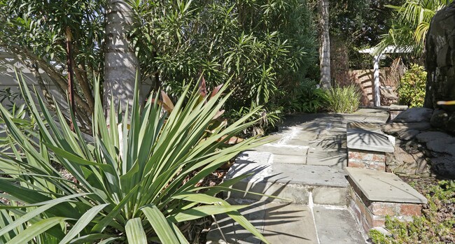
5501 Tullis Dr
New Orleans-Metairie, LA
Tall Timbr
5-13-8-295-40
TALL TIMBERS SEC 17-B-30-F SQ 3 LOT 121 SQ 5 LOTS 1/13 PT SEC 17-B-30-E OR 17-B-30G 11.0268 ACS
Apartment
Orleans
AE
Louisiana
22071C0263F
b30g
2025
11.03 AC
2025
Old Aurora
000617
New Orleans/Metairie/Kenner
260,452 SF
DEMOGRAPHICS near 5501 Tullis Dr
1 Mile
3 Mile
5 Mile
2024 Total Population
7,738
69,384
171,076
2029 Population
7,292
66,004
166,204
Pop Growth 2024-2029
(5.76%)
(4.87%)
(2.85%)
Average Age
38
39
39
2024 Total Households
3,112
26,050
65,595
HH Growth 2024-2029
(6.11%)
(5.16%)
(3.04%)
Median Household Inc
$59,230
$54,503
$50,765
Avg Household Size
2.30
2.60
2.50
2024 Avg HH Vehicles
1.00
2.00
2.00
Median Home Value
$215,517
$199,691
$193,917
Median Year Built
1977
1975
1973
Nearby Places
Map Layers
Map Styles
 Street
 Aerial
- Restaurants
- Banks
- Shops
- Fitness
- Groceries
PUBLIC TRANSPORTATION
COMMUTER RAIL
New Orleans Union Passenger Terminal (City of New Orleans - Amtrak, Crescent - Amtrak, Sunset Limited - Amtrak)
DRIVE
WALK
Distance
New Orleans Union Passenger Terminal (City of New Orleans - Amtrak, Crescent - Amtrak, Sunset Limited - Amtrak)
13 min
7.1 mi
AIRPORT
Louis Armstrong New Orleans International
DRIVE
WALK
Distance
Louis Armstrong New Orleans International
32 min
21.4 mi
Freight Ports
Plaquemines Port
DRIVE
WALK
Distance
Plaquemines Port
11 min
6.2 mi
Nearby Properties
Address
Land Use
TOTAL SIZE
Lot Size
Zoning
Address
Land Use
TOTAL SIZE
Lot Size
Zoning
25.26 AC
Address
Land Use
TOTAL SIZE
Lot Size
Zoning
85,568 SF
23.74 AC
MU-1
Address
Land Use
TOTAL SIZE
Lot Size
Zoning
109,688 SF
8.77 AC
S-RM1
Address
Land Use
TOTAL SIZE
Lot Size
Zoning
14.40 AC
Address
Land Use
TOTAL SIZE
Lot Size
Zoning
140,772 SF
9.01 AC
S-RS
Address
Land Use
TOTAL SIZE
Lot Size
Zoning
Address
Land Use
TOTAL SIZE
Lot Size
Zoning
1.38 AC
Address
Land Use
TOTAL SIZE
Lot Size
Zoning
147,253 SF
9.95 AC
S-RM1
Address
Land Use
TOTAL SIZE
Lot Size
Zoning
16.84 AC
EC
Address
Land Use
TOTAL SIZE
Lot Size
Zoning
228,859 SF
23.59 AC
C-3
Address
Land Use
TOTAL SIZE
Lot Size
Zoning
8.11 AC
EC
Address
Land Use
TOTAL SIZE
Lot Size
Zoning
159,090 SF
23.56 AC
Address
Land Use
TOTAL SIZE
Lot Size
Zoning
Address
Land Use
TOTAL SIZE
Lot Size
Zoning
12.33 AC
Address
Land Use
TOTAL SIZE
Lot Size
Zoning
2,160 SF
267.42 AC
A1
Address
Land Use
TOTAL SIZE
Lot Size
Zoning
Address
Land Use
TOTAL SIZE
Lot Size
Zoning
Address
Land Use
TOTAL SIZE
Lot Size
Zoning
30.04 AC
A1
Address
Land Use
TOTAL SIZE
Lot Size
Zoning
2.06 AC
EC
Address
Land Use
TOTAL SIZE
Lot Size
Zoning
6,540 SF
116 AC
OS-R
Address
Land Use
TOTAL SIZE
Lot Size
Zoning
53,964 SF
8.06 AC
S-RS
Address
Land Use
TOTAL SIZE
Lot Size
Zoning
574,842 SF
53.74 AC
S-RM1
Address
Land Use
TOTAL SIZE
Lot Size
Zoning
Address
Land Use
TOTAL SIZE
Lot Size
Zoning
11.62 AC
Address
Land Use
TOTAL SIZE
Lot Size
Zoning
9.39 AC
R1A
Address
Land Use
TOTAL SIZE
Lot Size
Zoning
364.71 AC
A1
Address
Land Use
TOTAL SIZE
Lot Size
Zoning
214,796 SF
2.98 AC
S-RM1
Address
Land Use
TOTAL SIZE
Lot Size
Zoning
146,262 SF
8.11 AC
EC
Address
Land Use
TOTAL SIZE
Lot Size
Zoning
16,267 SF
7.98 AC
S-RM1
Address
Land Use
TOTAL SIZE
Lot Size
Zoning
124,622 SF
6.15 AC
S-RS
The World's #1 Commercial Real Estate Marketplace
Connect with us
© 2025 CoStar Group
The information above has been obtained from sources believed reliable. While we do not doubt its accuracy we have not verified it and make no guarantee, warranty or representation about it. It is your responsibility to independently confirm its accuracy and completeness. Any projections, opinions, assumptions, or estimates used are for example only and do not represent the current or future performance of the property. The value of this transaction to you depends on tax and other factors which should be evaluated by your tax, financial, and legal advisors. You and your advisors should conduct a careful, independent investigation of the property to determine to your satisfaction the suitability of the property for your needs.