Property Record
5505 Highway 81 S, Covington, GA 30016
NEARBY LISTINGS FOR SALE OR LEASE
-
-
View all Covington listings for sale on LoopNet.com
Property Detail
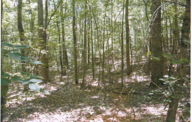
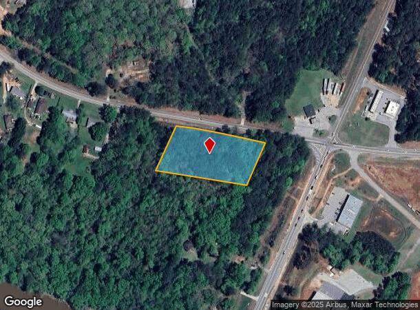
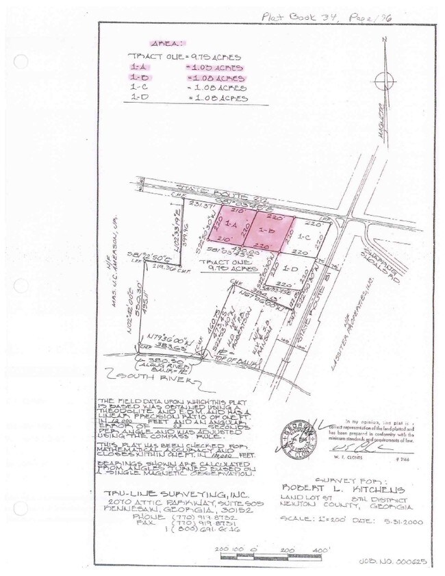
5505 Highway 81 S
Atlanta-Sandy Springs-Roswell, GA
R3 Misc Land - Area 10
0019000000008000
2.23AC SNAPPING SHOALS RD
Residentialacreage
Newton
X
Georgia
13035C0025D
2.23 AC
2025
Newton County
2025
Atlanta
100902
DEMOGRAPHICS near 5505 Highway 81 S
1 Mile
3 Mile
5 Mile
2024 Total Population
642
9,890
32,621
2029 Population
709
10,974
36,042
Pop Growth 2024-2029
+ 10.44%
+ 10.96%
+ 10.49%
Average Age
37
36
37
2024 Total Households
205
3,213
10,715
HH Growth 2024-2029
+ 10.73%
+ 11.27%
+ 10.78%
Median Household Inc
$105,729
$90,145
$84,400
Avg Household Size
3.10
3.00
3.00
2024 Avg HH Vehicles
3.00
2.00
2.00
Median Home Value
$261,224
$189,427
$191,687
Median Year Built
2004
2003
2001
Nearby Places
Map Layers
Map Styles
 Street
 Aerial
- Restaurants
- Banks
- Shops
- Fitness
- Groceries
PUBLIC TRANSPORTATION
AIRPORT
Hartsfield - Jackson Atlanta International
DRIVE
WALK
Distance
Hartsfield - Jackson Atlanta International
52 min
39.3 mi
Freight Ports
Georgia Ports - Savannah
DRIVE
WALK
Distance
Georgia Ports - Savannah
263 min
233.0 mi
Nearby Properties
Address
Land Use
TOTAL SIZE
Lot Size
Zoning
Address
Land Use
TOTAL SIZE
Lot Size
Zoning
2,052 SF
571.86 AC
RA
Address
Land Use
TOTAL SIZE
Lot Size
Zoning
1,800 SF
153.90 AC
RA
Address
Land Use
TOTAL SIZE
Lot Size
Zoning
9,100 SF
3.25 AC
Address
Land Use
TOTAL SIZE
Lot Size
Zoning
1,036 SF
347.75 AC
AR
Address
Land Use
TOTAL SIZE
Lot Size
Zoning
133.92 AC
AR
Address
Land Use
TOTAL SIZE
Lot Size
Zoning
6,000 SF
15.13 AC
AR
Address
Land Use
TOTAL SIZE
Lot Size
Zoning
153.58 AC
AR
Address
Land Use
TOTAL SIZE
Lot Size
Zoning
100 AC
AR
Address
Land Use
TOTAL SIZE
Lot Size
Zoning
147.57 AC
AR
Address
Land Use
TOTAL SIZE
Lot Size
Zoning
103.14 AC
AR
Address
Land Use
TOTAL SIZE
Lot Size
Zoning
1,469 SF
85.85 AC
A1
Address
Land Use
TOTAL SIZE
Lot Size
Zoning
6,994 SF
9.22 AC
E2
Address
Land Use
TOTAL SIZE
Lot Size
Zoning
162.75 AC
A
Address
Land Use
TOTAL SIZE
Lot Size
Zoning
2,400 SF
1.50 AC
C1
Address
Land Use
TOTAL SIZE
Lot Size
Zoning
8,166 SF
35.63 AC
E2
Address
Land Use
TOTAL SIZE
Lot Size
Zoning
96 AC
A1
Address
Land Use
TOTAL SIZE
Lot Size
Zoning
303.13 AC
A
Address
Land Use
TOTAL SIZE
Lot Size
Zoning
76.35 AC
AR
Address
Land Use
TOTAL SIZE
Lot Size
Zoning
70.61 AC
A1
Address
Land Use
TOTAL SIZE
Lot Size
Zoning
179 AC
A
Address
Land Use
TOTAL SIZE
Lot Size
Zoning
2,045 SF
60.64 AC
RA
Address
Land Use
TOTAL SIZE
Lot Size
Zoning
2,000 SF
1.29 AC
C1
Address
Land Use
TOTAL SIZE
Lot Size
Zoning
84.12 AC
A
Address
Land Use
TOTAL SIZE
Lot Size
Zoning
45.76 AC
AR
Address
Land Use
TOTAL SIZE
Lot Size
Zoning
39 AC
AR
Address
Land Use
TOTAL SIZE
Lot Size
Zoning
76.77 AC
AR
Address
Land Use
TOTAL SIZE
Lot Size
Zoning
70.27 AC
AR
Address
Land Use
TOTAL SIZE
Lot Size
Zoning
2,687 SF
0.65 AC
R1
Address
Land Use
TOTAL SIZE
Lot Size
Zoning
37.29 AC
AR
Address
Land Use
TOTAL SIZE
Lot Size
Zoning
42.60 AC
AR
The World's #1 Commercial Real Estate Marketplace
Connect with us
© 2025 CoStar Group
The information above has been obtained from sources believed reliable. While we do not doubt its accuracy we have not verified it and make no guarantee, warranty or representation about it. It is your responsibility to independently confirm its accuracy and completeness. Any projections, opinions, assumptions, or estimates used are for example only and do not represent the current or future performance of the property. The value of this transaction to you depends on tax and other factors which should be evaluated by your tax, financial, and legal advisors. You and your advisors should conduct a careful, independent investigation of the property to determine to your satisfaction the suitability of the property for your needs.