Property Record
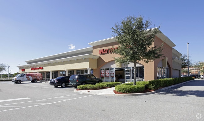
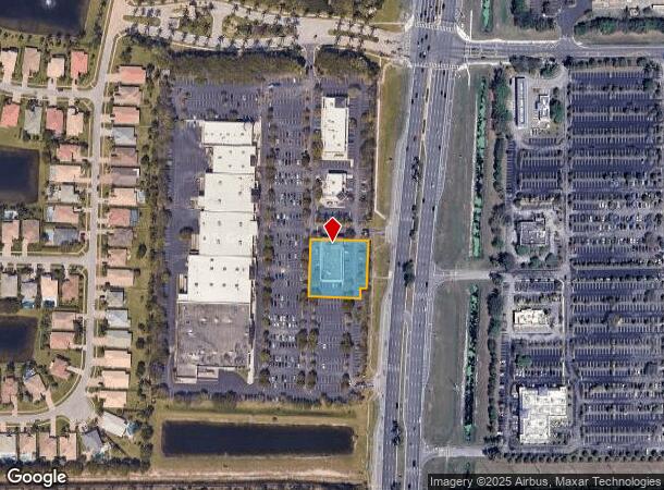
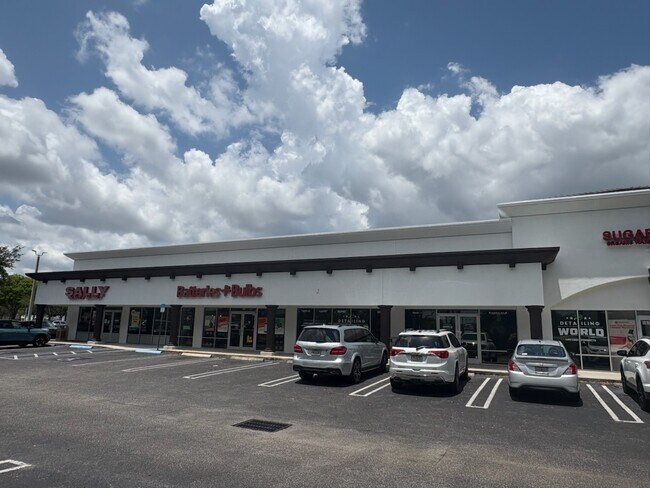
551 N State Road 7, Royal Palm Beach, FL 33411
NEARBY LISTINGS FOR SALE OR LEASE
Property Detail
551 N State Road 7
West Palm Beach-Boca Raton-Delray Beach, FL
Commons At Royal Palm Beach Pl 2
72-41-43-36-04-000-0040
COMMONS AT ROYAL PALM BEACH PL 2 LT 4
Storemultistory
Palm Beach
X
Florida
12099C0562F
4
2024
0.78 AC
2025
Royal Palm Bch/Wellington
007813
South Florida
8,448 SF
DEMOGRAPHICS near 551 N State Road 7
1 Mile
3 Mile
5 Mile
2024 Total Population
7,094
67,055
174,572
2029 Population
7,233
68,450
178,518
Pop Growth 2024-2029
+ 1.96%
+ 2.08%
+ 2.26%
Average Age
37
40
41
2024 Total Households
2,149
23,814
62,194
HH Growth 2024-2029
+ 1.16%
+ 1.40%
+ 1.75%
Median Household Inc
$98,766
$81,874
$76,624
Avg Household Size
3.10
2.70
2.70
2024 Avg HH Vehicles
2.00
2.00
2.00
Median Home Value
$376,091
$359,748
$356,884
Median Year Built
2001
1994
1990
Nearby Places
Map Layers
Map Styles
 Street
 Aerial
- Restaurants
- Banks
- Shops
- Fitness
- Groceries
PUBLIC TRANSPORTATION
AIRPORT
Palm Beach International
DRIVE
WALK
Distance
Palm Beach International
14 min
7.3 mi
SALE & LEASE HISTORY
LISTING DATE
SALE/LEASE

Nov 15, 2019
For Lease
Nearby Properties
Address
Land Use
TOTAL SIZE
Lot Size
Zoning
Address
Land Use
TOTAL SIZE
Lot Size
Zoning
590,128 SF
19.55 AC
MUPD
Address
Land Use
TOTAL SIZE
Lot Size
Zoning
398,622 SF
21.62 AC
RM-18
Address
Land Use
TOTAL SIZE
Lot Size
Zoning
536,770 SF
25.06 AC
PUD
Address
Land Use
TOTAL SIZE
Lot Size
Zoning
435,320 SF
13.75 AC
MCPD
Address
Land Use
TOTAL SIZE
Lot Size
Zoning
535,508 SF
19.17 AC
PUD
Address
Land Use
TOTAL SIZE
Lot Size
Zoning
669,818 SF
42.79 AC
IL
Address
Land Use
TOTAL SIZE
Lot Size
Zoning
428,659 SF
26.16 AC
MUPD
Address
Land Use
TOTAL SIZE
Lot Size
Zoning
691,249 SF
33.20 AC
MUPD
Address
Land Use
TOTAL SIZE
Lot Size
Zoning
349,316 SF
49.95 AC
CG
Address
Land Use
TOTAL SIZE
Lot Size
Zoning
377,137 SF
17.64 AC
PUD
Address
Land Use
TOTAL SIZE
Lot Size
Zoning
318,687 SF
29.98 AC
RM-9
Address
Land Use
TOTAL SIZE
Lot Size
Zoning
294,321 SF
109.37 AC
PO
Address
Land Use
TOTAL SIZE
Lot Size
Zoning
178,614 SF
10.42 AC
PUD
Address
Land Use
TOTAL SIZE
Lot Size
Zoning
159,302 SF
29.36 AC
Address
Land Use
TOTAL SIZE
Lot Size
Zoning
302,692 SF
55 AC
PO
Address
Land Use
TOTAL SIZE
Lot Size
Zoning
243,076 SF
15.47 AC
RM-18
Address
Land Use
TOTAL SIZE
Lot Size
Zoning
338,248 SF
54.21 AC
CF
Address
Land Use
TOTAL SIZE
Lot Size
Zoning
261,118 SF
58.77 AC
IPF
Address
Land Use
TOTAL SIZE
Lot Size
Zoning
196,683 SF
8.97 AC
RPD
Address
Land Use
TOTAL SIZE
Lot Size
Zoning
180,153 SF
19.22 AC
MUPD
Address
Land Use
TOTAL SIZE
Lot Size
Zoning
113,379 SF
16.56 AC
MUPD
Address
Land Use
TOTAL SIZE
Lot Size
Zoning
225,393 SF
22.54 AC
MUPD
Address
Land Use
TOTAL SIZE
Lot Size
Zoning
159,433 SF
38.65 AC
PO
Address
Land Use
TOTAL SIZE
Lot Size
Zoning
116,601 SF
13.94 AC
CG
Address
Land Use
TOTAL SIZE
Lot Size
Zoning
68,094 SF
39.77 AC
MUPD
Address
Land Use
TOTAL SIZE
Lot Size
Zoning
94,179 SF
13.01 AC
MUPD
Address
Land Use
TOTAL SIZE
Lot Size
Zoning
149,934 SF
3.47 AC
CG
Address
Land Use
TOTAL SIZE
Lot Size
Zoning
229,274 SF
24.34 AC
CG
Address
Land Use
TOTAL SIZE
Lot Size
Zoning
129,117 SF
12.62 AC
CG
Address
Land Use
TOTAL SIZE
Lot Size
Zoning
114,658 SF
14.99 AC
CG
The World's #1 Commercial Real Estate Marketplace
Connect with us
© 2025 CoStar Group
The information above has been obtained from sources believed reliable. While we do not doubt its accuracy we have not verified it and make no guarantee, warranty or representation about it. It is your responsibility to independently confirm its accuracy and completeness. Any projections, opinions, assumptions, or estimates used are for example only and do not represent the current or future performance of the property. The value of this transaction to you depends on tax and other factors which should be evaluated by your tax, financial, and legal advisors. You and your advisors should conduct a careful, independent investigation of the property to determine to your satisfaction the suitability of the property for your needs.