Property Record
5515 N Highway 35, Alvin, TX 77511
NEARBY LISTINGS FOR SALE OR LEASE
-
-
View all Alvin listings for lease on LoopNet.com
Property Detail
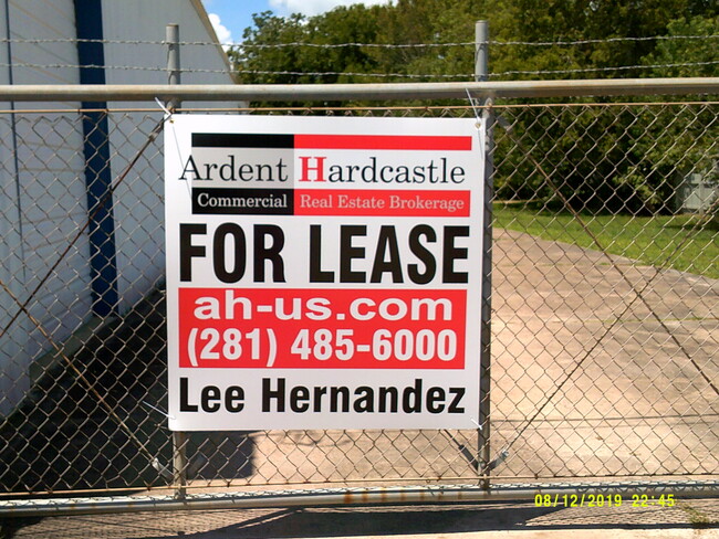
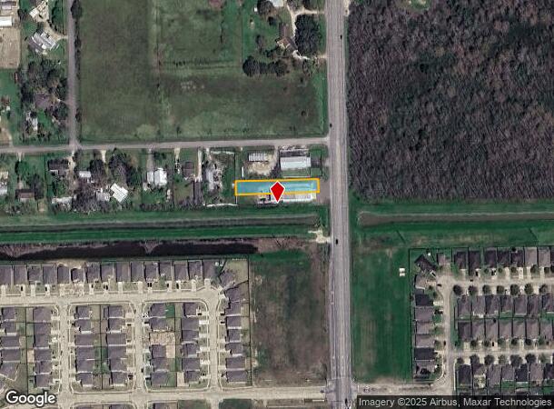
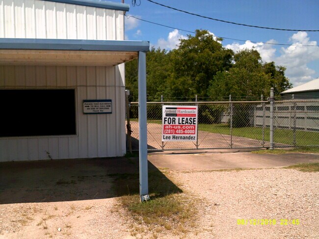
5515 N Highway 35
0482-0004-007
H T & B R R
Commercialnec
A0482 H T & B R R TRACT 38 (MOORELAND III) ACRES .71
AO
Brazoria
48039C0155K
Texas
2024
0.71 AC
2025
South Hwy 35
6616021
Houston
6,000 SF
Houston-The Woodlands-Sugar Land, TX
DEMOGRAPHICS near 5515 N Highway 35
1 Mile
3 Mile
5 Mile
2024 Total Population
2,974
19,306
75,448
2029 Population
3,347
21,214
82,004
Pop Growth 2024-2029
+ 12.54%
+ 9.88%
+ 8.69%
Average Age
35
37
38
2024 Total Households
1,000
6,337
25,760
HH Growth 2024-2029
+ 12.60%
+ 10.12%
+ 8.92%
Median Household Inc
$92,279
$89,020
$87,454
Avg Household Size
3.00
3.00
2.80
2024 Avg HH Vehicles
2.00
2.00
2.00
Median Home Value
$242,144
$253,800
$277,545
Median Year Built
2010
1995
1992
Nearby Places
Map Layers
Map Styles
 Street
 Aerial
- Restaurants
- Banks
- Shops
- Fitness
- Groceries
PUBLIC TRANSPORTATION
AIRPORT
William P Hobby
DRIVE
WALK
Distance
William P Hobby
25 min
13.1 mi
Freight Ports
Port of Houston
DRIVE
WALK
Distance
Port of Houston
36 min
21.3 mi
SALE & LEASE HISTORY
LISTING DATE
SALE/LEASE

Jun 24, 2020
For Sale
Aug 04, 2020
For Lease
Nearby Properties
Address
Land Use
TOTAL SIZE
Lot Size
Zoning
Address
Land Use
TOTAL SIZE
Lot Size
Zoning
40.52 AC
0017
Address
Land Use
TOTAL SIZE
Lot Size
Zoning
65,935 SF
81.27 AC
Address
Land Use
TOTAL SIZE
Lot Size
Zoning
84,272 SF
16.93 AC
Address
Land Use
TOTAL SIZE
Lot Size
Zoning
197,506 SF
20.52 AC
Address
Land Use
TOTAL SIZE
Lot Size
Zoning
68,435 SF
5.62 AC
0041
Address
Land Use
TOTAL SIZE
Lot Size
Zoning
111,370 SF
11.10 AC
Address
Land Use
TOTAL SIZE
Lot Size
Zoning
90,044 SF
9.62 AC
Address
Land Use
TOTAL SIZE
Lot Size
Zoning
Address
Land Use
TOTAL SIZE
Lot Size
Zoning
136,700 SF
9.91 AC
0095
Address
Land Use
TOTAL SIZE
Lot Size
Zoning
147,939 SF
38.36 AC
0026
Address
Land Use
TOTAL SIZE
Lot Size
Zoning
89,466 SF
8.61 AC
0109
Address
Land Use
TOTAL SIZE
Lot Size
Zoning
36,596 SF
14.75 AC
Address
Land Use
TOTAL SIZE
Lot Size
Zoning
22,144 SF
9.27 AC
Address
Land Use
TOTAL SIZE
Lot Size
Zoning
1,920 SF
14.94 AC
Address
Land Use
TOTAL SIZE
Lot Size
Zoning
74,002 SF
9.58 AC
Address
Land Use
TOTAL SIZE
Lot Size
Zoning
63,530 SF
8.89 AC
0022
Address
Land Use
TOTAL SIZE
Lot Size
Zoning
94,809 SF
49.01 AC
0103
Address
Land Use
TOTAL SIZE
Lot Size
Zoning
145 SF
20.24 AC
0037
Address
Land Use
TOTAL SIZE
Lot Size
Zoning
18,800 SF
1.08 AC
Address
Land Use
TOTAL SIZE
Lot Size
Zoning
29,200 SF
3.19 AC
Address
Land Use
TOTAL SIZE
Lot Size
Zoning
140 SF
25.06 AC
0008
Address
Land Use
TOTAL SIZE
Lot Size
Zoning
63,250 SF
6.51 AC
0101
Address
Land Use
TOTAL SIZE
Lot Size
Zoning
29.04 AC
0001
Address
Land Use
TOTAL SIZE
Lot Size
Zoning
1,739 SF
5.20 AC
Address
Land Use
TOTAL SIZE
Lot Size
Zoning
22,625 SF
7 AC
Address
Land Use
TOTAL SIZE
Lot Size
Zoning
14.09 AC
Address
Land Use
TOTAL SIZE
Lot Size
Zoning
2,169 SF
9.57 AC
SFR
Address
Land Use
TOTAL SIZE
Lot Size
Zoning
32,452 SF
5.46 AC
0086
Address
Land Use
TOTAL SIZE
Lot Size
Zoning
162,100 SF
24.51 AC
0056
Address
Land Use
TOTAL SIZE
Lot Size
Zoning
44,241 SF
9.69 AC
The World's #1 Commercial Real Estate Marketplace
Connect with us
© 2025 CoStar Group
The information above has been obtained from sources believed reliable. While we do not doubt its accuracy we have not verified it and make no guarantee, warranty or representation about it. It is your responsibility to independently confirm its accuracy and completeness. Any projections, opinions, assumptions, or estimates used are for example only and do not represent the current or future performance of the property. The value of this transaction to you depends on tax and other factors which should be evaluated by your tax, financial, and legal advisors. You and your advisors should conduct a careful, independent investigation of the property to determine to your satisfaction the suitability of the property for your needs.