Property Record
28813 E Red Gum Dr, Lake Elsinore, CA 92532

Property Detail
28813 E Red Gum Dr
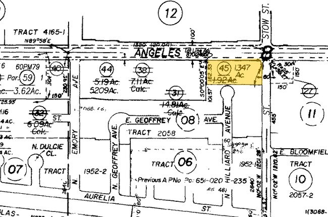
651-0-020-455
MISC 5 PG 25 PART OF LOT J
Vacantlandnec
Riverside
CO
California
B and X Area of moderate flood hazard, usually the area between the limits of the 100-year and 500-year floods.
1.35 AC
2024
Moorpark/Simi Valley
2025
Los Angeles
008201
Oxnard-Thousand Oaks-Ventura, CA
NEARBY LISTINGS FOR SALE OR LEASE
DEMOGRAPHICS near 28813 E Red Gum Dr
1 mile
3 mile
5 mile
2025 Total Population
16,080
53,098
123,160
2030 Population
15,741
52,582
122,307
Pop Growth 2025-2030
(2.11%)
(0.97%)
(0.69%)
Average Age
42
43
42
2025 Total Households
6,057
18,557
41,705
HH Growth 2025-2030
(2.44%)
(1.21%)
(0.90%)
Median Household Inc
$95,115
$124,963
$122,035
Avg Household Size
2.60
2.80
2.90
2025 Avg HH Vehicles
2.00
2.00
2.00
Median Home Value
$702,363
$768,425
$804,424
Median Year Built
1982
1978
1976
Nearby Places
Map Layers
Map Styles
 Street
 Aerial
Layers
 Traffic
 Biking
Places
Listings with unknown addresses are not visible on the map
- Restaurants
- Banks
- Shops
- Fitness
- Groceries
PUBLIC TRANSPORTATION
COMMUTER RAIL
Perris Downtown (Metrolink 91-Perris Valley Line - Metrolink Trains)
Drive
Walk
Distance
Perris Downtown (Metrolink 91-Perris Valley Line - Metrolink Trains)
16 min
9.7 mi
AIRPORT
Ontario International
Drive
Walk
Distance
Ontario International
45 min
35.8 mi
Freight Ports
Port of Long Beach
Drive
Walk
Distance
Port of Long Beach
81 min
63.4 mi
Nearby Properties
Address
Land Use
TOTAL SIZE
Lot Size
Zoning
Address
Land Use
TOTAL SIZE
Lot Size
Zoning
14,521 SF
5.29 AC
CP
Address
Land Use
TOTAL SIZE
Lot Size
Zoning
297,071 SF
26.18 AC
C1
Address
Land Use
TOTAL SIZE
Lot Size
Zoning
20,134 SF
4.43 AC
R3
Address
Land Use
TOTAL SIZE
Lot Size
Zoning
26,128 SF
4.43 AC
R3
Address
Land Use
TOTAL SIZE
Lot Size
Zoning
276,268 SF
11.60 AC
Address
Land Use
TOTAL SIZE
Lot Size
Zoning
299,526 SF
13.75 AC
Address
Land Use
TOTAL SIZE
Lot Size
Zoning
125,300 SF
9.96 AC
Address
Land Use
TOTAL SIZE
Lot Size
Zoning
74,712 SF
5.73 AC
MSC
Address
Land Use
TOTAL SIZE
Lot Size
Zoning
56,006 SF
5.33 AC
R1
Address
Land Use
TOTAL SIZE
Lot Size
Zoning
45,460 SF
4.24 AC
CPS
Address
Land Use
TOTAL SIZE
Lot Size
Zoning
207,052 SF
10.61 AC
Address
Land Use
TOTAL SIZE
Lot Size
Zoning
31,864 SF
2.57 AC
Address
Land Use
TOTAL SIZE
Lot Size
Zoning
16,742 SF
1.56 AC
CP
Address
Land Use
TOTAL SIZE
Lot Size
Zoning
83,874 SF
5.99 AC
M-1
Address
Land Use
TOTAL SIZE
Lot Size
Zoning
52,293 SF
5 AC
Address
Land Use
TOTAL SIZE
Lot Size
Zoning
42,581 SF
2.66 AC
Address
Land Use
TOTAL SIZE
Lot Size
Zoning
18,800 SF
3.03 AC
M1
Address
Land Use
TOTAL SIZE
Lot Size
Zoning
18,800 SF
1.67 AC
C1
Address
Land Use
TOTAL SIZE
Lot Size
Zoning
3,217 SF
0.85 AC
Address
Land Use
TOTAL SIZE
Lot Size
Zoning
34,351 SF
3.31 AC
Address
Land Use
TOTAL SIZE
Lot Size
Zoning
48,525 SF
5.25 AC
C1
Address
Land Use
TOTAL SIZE
Lot Size
Zoning
9.71 AC
Address
Land Use
TOTAL SIZE
Lot Size
Zoning
117,328 SF
4.14 AC
Address
Land Use
TOTAL SIZE
Lot Size
Zoning
11,251 SF
1.02 AC
Address
Land Use
TOTAL SIZE
Lot Size
Zoning
27,223 SF
1.54 AC
M1
Address
Land Use
TOTAL SIZE
Lot Size
Zoning
21,447 SF
5.25 AC
Address
Land Use
TOTAL SIZE
Lot Size
Zoning
63,668 SF
3.58 AC
R1
The World's #1 Commercial Real Estate Marketplace
Connect with us
© 2026 CoStar Group
The information above has been obtained from sources believed reliable. While we do not doubt its accuracy we have not verified it and make no guarantee, warranty or representation about it. It is your responsibility to independently confirm its accuracy and completeness. Any projections, opinions, assumptions, or estimates used are for example only and do not represent the current or future performance of the property. The value of this transaction to you depends on tax and other factors which should be evaluated by your tax, financial, and legal advisors. You and your advisors should conduct a careful, independent investigation of the property to determine to your satisfaction the suitability of the property for your needs.